Beschreibung
Zusammenfassung
Beschreibung
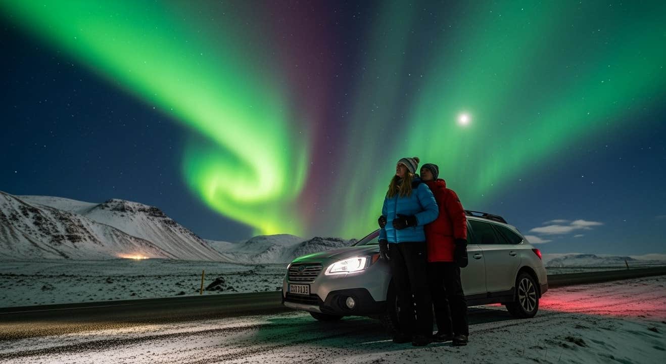
Starte zu einer 6-tägigen Winter-Mietwagenreise und entdecke einige der schönsten Orte Islands – darunter die spektakuläre Südküste und die Highlights des Goldenen Kreises. Diese Reise ist perfekt, wenn du Island im Winter erleben und deine Chancen auf Nordlichter maximieren willst.
Dieses Mietwagenabenteuer ist ideal für alle, die Island im Winter in ihrem eigenen Tempo erkunden möchten – flexibel und unabhängig. Im Paket enthalten sind ein komfortabler Mietwagen und sorgfältig ausgewählte Unterkünfte für fünf Nächte, die du nach Wunsch upgraden kannst.
Statt deine Island-Route selbst zu planen, übernehmen unsere lokalen Reiseexperten alles für dich. So verpasst du keine Highlights und erlebst die schönsten Winterattraktionen Islands. Außerdem zeigen wir dir versteckte Orte und Geheimtipps, die nur Einheimische kennen – für ein wirklich einzigartiges Abenteuer.
Zu den Highlights deines Winter-Roadtrips gehören die drei berühmten Stopps des Goldenen Kreises: der Nationalpark Thingvellir, die sprudelnden heißen Quellen des Geysir-Gebiets und der beeindruckende Wasserfall Gullfoss. Entlang der Südküste erwarten dich einige der atemberaubendsten Winterlandschaften Islands.
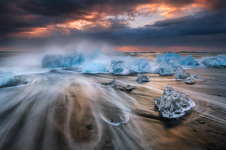
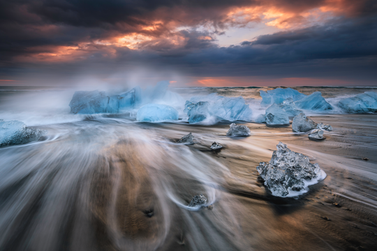
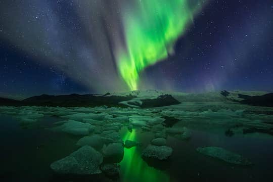
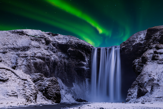
Freu dich auf Naturwunder wie die Wasserfälle Skogafoss und Seljalandsfoss, den schwarzen Sandstrand Reynisfjara, die eisige Schönheit der Gletscherlagune Jökulsarlon und den benachbarten Diamond Beach. Die dramatische Stokksnes-Halbinsel bietet dir außerdem einen der fotogensten Ausblicke des Landes.
Das Beste an einer Mietwagenreise in Island ist die Freiheit: Du kannst jederzeit anhalten, Umwege zu versteckten Highlights machen oder an deinen Lieblingsorten länger bleiben.
Gleichzeitig sorgt die Planung durch unsere lokalen Spezialisten dafür, dass du typische Winterfallen vermeidest – wie unsichere Straßen, ausgebuchte Aktivitäten oder verpasste Sehenswürdigkeiten durch schlechtes Timing. Wir kümmern uns um die Details, damit du stressfrei und flexibel unterwegs bist.
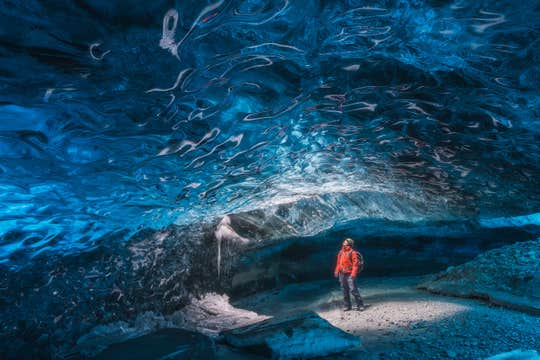
Gestalte deinen Winter-Roadtrip so, wie du ihn willst: Schnorcheln zwischen zwei Kontinenten, eine Schneemobiltour über eisige Ebenen, eine Tour in einen erloschenen Vulkan oder eine kristallblaue Eishöhle – all das kannst du hinzufügen. Oder du lässt es ruhiger angehen und entspannst in den schönsten Geothermalbädern und heißen Quellen Islands.
Abends kannst du mit etwas Glück die magischen Nordlichter jagen, die von September bis April den Himmel erleuchten. Wir geben dir die besten Tipps, damit du deine Chancen auf dieses unvorhersehbare Naturwunder maximierst.
Mit diesem 6-tägigen Winter-Mietwagenpaket reist du ganz entspannt – und falls sich deine Pläne ändern, kannst du bis zu 24 Stunden vor Abreise kostenlos stornieren und bekommst dein Geld zurück.
Nutze dieses fantastische Angebot und sichere dir jetzt deine 6-tägige Winter-Mietwagenreise zu Islands beliebtesten Zielen an der Südküste! Sieh gleich nach, ob dein Wunschtermin verfügbar ist.


