
Beschreibung
Zusammenfassung
Beschreibung
Peppe deine Besichtigung rund um den Goldenen Kreis auf, indem du dich dieser spannenden Schneemobil-Tour inkl. Eishöhlenerkundung anschließt. Dieses Abenteuer solltest du dir nicht entgehen lassen, wenn du deinen Adrenalinspiegel in die Höhe treiben und eine neue und einzigartige Erfahrung machen möchtest.
Du triffst deine Guides am Wasserfall Gullfoss, einer der drei Hauptattraktionen des Goldenen Kreises. Es empfiehlt sich, vor oder nach der Tourauch auch diese Sightseeing-Route zu befahren, denn der Gullfoss und die beiden anderen Attraktionen – der Nationalpark Thingvellir und das Geysir-Thermalgebiet – gehören zu den schönsten und beliebtesten des Landes.
Auf dem Parkplatz am Gullfoss triffst du dich mit deiner Gruppe und deinen Guides und steigst in einen umgebauten Superjeep. Dieses Fahrzeug ist perfekt geeignet, um durch das Hochland zu fahren und die eisigen Hänge des Langjökull-Gletschers, des zweitgrößten Gletschers des Landes, zu erklimmen. Halte deinen Fotoapparat bereit, denn die Fahrt führt dich durch eine spektakuläre Landschaft.
Du kommst in einer Hütte auf der Eiskappe an, wo du einen Schneeanzug bekommst und zu deinem Fahrzeug gebracht wirst. Wer einen Führerschein besitzt, kann das Schneemobil selbst steuern, andere können als Passagiere mitfahren.
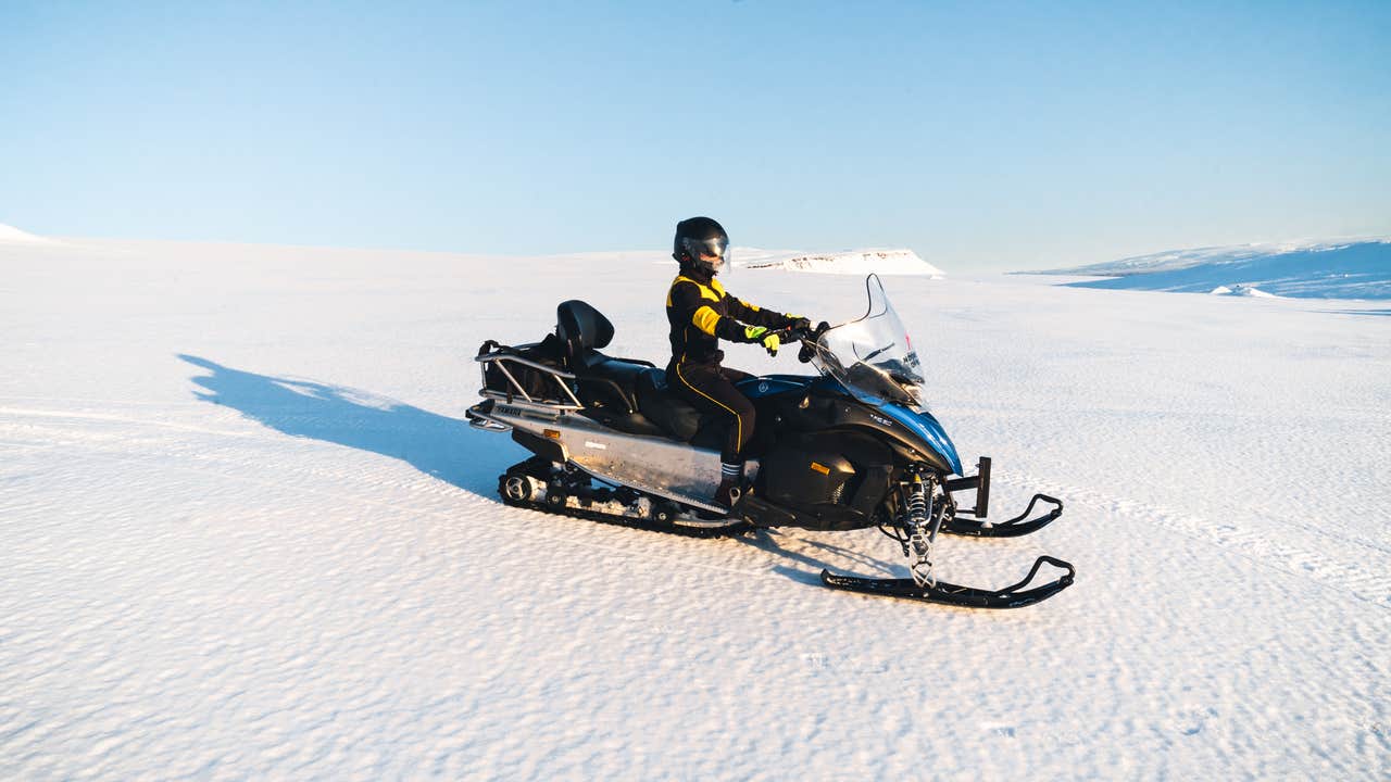
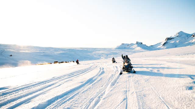
Schneemobilfahren auf den weißen Hängen des Langjökull ist ein aufregendes Erlebnis. Die Schneelandschaften sind traumhaft, die Gletscher unglaublich spektakulär und die Aussicht auf die umliegende Landschaft unvergleichlich. Das Ganze mit hoher Geschwindigkeit zu erleben, macht das Abenteuer noch großartiger.
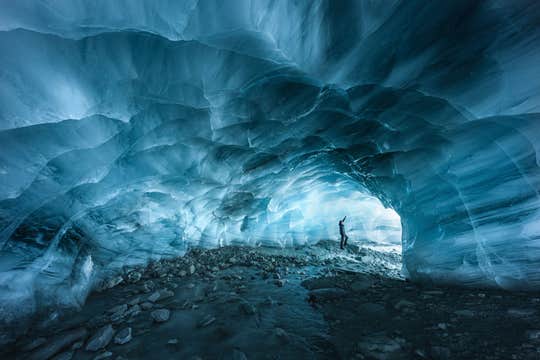
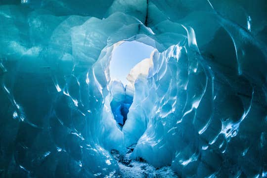
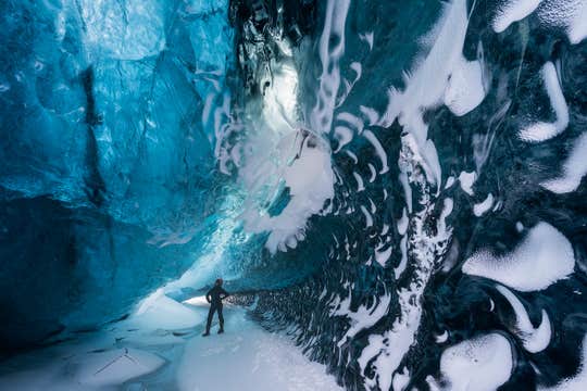
Dann erreichst du die Höhle, die von einem tiefen Gletscherfluss gebildet wird, der unter dem massiven Gletscher hervorkriecht, und wagst dich in die große, dunkle Eishöhle. Im Inneren der Höhle hängen Eiszapfen von der Decke, die im Licht glitzern, und die Wände sind dunkelgrau und schwarz. Ein beeindruckender Anblick, den man nie vergisst!
Während du die Texturen und Farben bewunderst, erzählt dir dein Guide alles über die Entstehung der Gletscher, ihre Bedrohungen und den Umgang mit ihnen.
Nach dieser einzigartigen Erkundung kehrst du zu deinem Schneemobil zurück und rast den Gletscher hinunter. Danach wirst du zum Gullfoss zurückgebracht – mit einer Kamera voller Fotos von deinem wunderbaren Erlebnis.
Lass dir diese großartige Kombitour nicht entgehen, bei der du das Beste aus Islands wunderschönen Gletschern herausholen kannst. Überprüfe die Verfügbarkeit, indem du ein Datum auswählst.


