
El Paso de Fimmvorduhals es una de las rutas de senderismo más populares de Islandia. Saltó a la fama mundial cuando la erupción del Eyjafjallajokull comenzó aquí en 2010, pero ahora es más conocido por su increíble y austera naturaleza.
Explora una amplia gama de excursiones por las Tierras Altas.
Por Qué Puedes Confiar en Nuestro Contenido
Guide to Iceland es la plataforma de viajes más fiable de Islandia, que ayuda a millones de visitantes cada año. Todo nuestro contenido está escrito y revisado por expertos locales que conocen profundamente Islandia. Puedes confiar en nosotros para obtener consejos de viaje precisos, actualizados y fiables.
Senderismo en Fimmvorduhals
Fimmvorduhals se encuentra en el sur de Islandia y forma parte de la popular ruta de senderismo de varios días Laugavegur. Se puede recorrer como parte de esta ruta, que va desde Landmannalaugar hasta el valle de Thorsmork, o de forma independiente en un solo día.
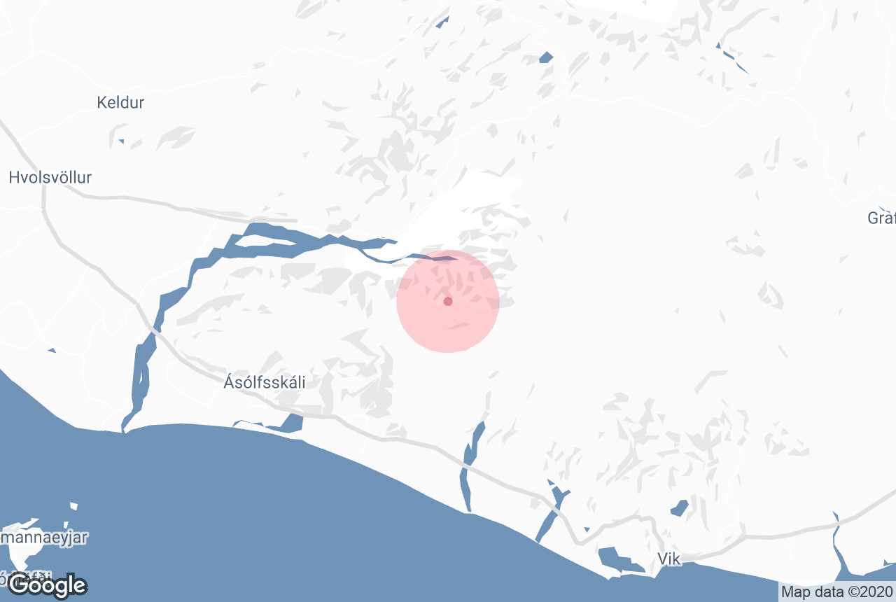
El sendero se encuentra entre los glaciares Eyjafjallajokull y Myrdalsjokull, y se extiende desde Skogar hasta el valle de Thorsmork. Tiene una longitud aproximada de 22 kilómetros y requiere un ascenso de 1000 metros.
Por lo tanto, solo se recomienda realizar esta ruta a aquellas personas que tengan un buen estado físico, cuenten con unas buenas botas de montaña y lleven el equipo adecuado. Tampoco se recomienda realizar la ruta sin guía, a menos que se sea un excursionista muy experimentado y se informe a alguien de dónde se va y cuándo se tiene previsto regresar.
El sendero ofrece paisajes impresionantes y variados. Las vistas hacia el verde y espectacular Thorsmork y las numerosas cascadas del río Fossá son especialmente dignas de mención. Parte del sendero suele estar nevado, ya que los glaciares lo rodean por ambos lados.
La meseta de Morinsheidi ofrece unas vistas impresionantes del casquete glaciar Myrdalsjokull, que esconde uno de los volcanes más peligrosos e impredecibles del país, el Katla.
El tiempo puede ser impredecible en esta zona, por lo que se recomienda precaución. Es importante consultar la previsión meteorológica antes de salir hacia cualquier destino en Islandia, pero debido a la dificultad del terreno, aquí es especialmente importante.
La erupción de 2010 en Fimmvorduhals

En 2010, el mundo fue testigo de la erupción del glaciar Eyjafjallajokull, que arrojó grandes cantidades de ceniza a la atmósfera. Las granjas del sur del condado quedaron contaminadas, las personas con problemas respiratorios tuvieron que permanecer confinadas en sus casas, se suspendieron los vuelos y los locutores de todo el mundo se torcían la lengua tratando de pronunciar su nombre.
Sin embargo, pocos saben que esta erupción siguió a otra más pequeña en Fimmvorduhals.
El 20 de marzo, a las 23:00 horas, se abrió una fisura de 0,5 kilómetros al norte del paso. Una semana más tarde, volvió a empezar y comenzó a formarse en dos cráteres cerca de Thorsmork.
El flujo de lava se detuvo, pero desafortunadamente solo fue un presagio de lo que vendría el 14 de abril. El tráfico aéreo se paralizó prácticamente en toda Europa durante seis días, y algunas rutas permanecieron cerradas incluso hasta mayo.
Los nuevos cráteres recibieron el nombre de Modi y Magni el 15 de junio, en honor a los hijos de Thor, un nombre muy apropiado teniendo en cuenta que se encuentran junto al "Valle de Thor". Son dos de los cráteres más jóvenes del país.
Se visitan en la mayoría de las excursiones por la zona y son especialmente interesantes porque aún emanan calor. La nieve no se acumula en las rocas y, en los días fríos, a menudo parecen estar echando vapor.
Esto se debe a que la lava tarda años en enfriarse por completo. Si pones las manos sobre la piedra, notarás que están calientes incluso cuando hace frío.


