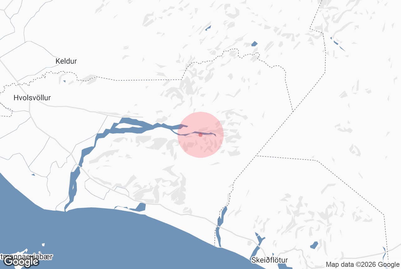

Nombrada en honor a Thor, el dios nórdico del trueno, Thorsmork (þórsmörk en islandés) es tan legendaria como su nombre. Thorsmork atrae especialmente a quienes buscan rutas de senderismo y trekking en Islandia, ya que se encuentra entre glaciares y los tres ríos Krossa, Thronga y Markarfljot, con una mezcla de valles verdes, vistas a glaciares y crestas volcánicas.
Además, su terreno remoto y accidentado la convierte en un destino ideal para emocionantes tours en Super Jeep, atrayendo a viajeros que desean explorar el interior de Islandia con estilo y comodidad.
Por qué puedes confiar en nuestro contenido
Guide to Iceland es la plataforma de viajes más confiable de Islandia, ayudando a millones de visitantes cada año. Todo nuestro contenido es escrito y revisado por expertos locales que conocen Islandia a fondo. Puedes contar con nosotros para obtener consejos de viaje precisos, actualizados y confiables.
El valle muestra las huellas de la erupción del Eyjafjallajokull en 2010, que transformó parte del paisaje y creó nuevas formaciones, como los cráteres Magni y Modi, que hoy son destinos populares para senderistas.
Þórsmörk solo es accesible durante los meses de verano, lo que la convierte en un destino ideal para tours y paquetes de verano en Islandia. Debido a los caminos difíciles y cruces de ríos, el viaje requiere vehículos 4x4, disponibles en la mayor selección de coches de alquiler en Islandia. Para una visita sin complicaciones, el tour guiado en Super Jeep por el Valle de Þórsmörk ofrece una forma segura y panorámica de explorar la zona.
Datos sobre Thorsmork
-
Thorsmork es conocida por sus paisajes impresionantes, que incluyen glaciares, ríos y formaciones volcánicas como los cráteres Magni y Modi.
-
Ofrece una variedad de rutas de senderismo, desde travesías de varios días como la ruta Laugavegur hasta caminatas más cortas como la de Valahnukur.
-
El valle brinda oportunidades para tours de vida silvestre donde puedes ver animales como zorros árticos, renos y diversas especies de aves.
En lo Salvaje: Por Qué No Debes PerderteThorsmork

La Reserva Natural de Thorsmork no es el lugar más fácil de alcanzar, pero eso es parte de lo que la hace tan especial. Rodeado de glaciares y esculpido por ríos, este valle remoto es uno de los destinos naturales más espectaculares de Islandia. Si tienes dudas sobre hacer el viaje, aquí tienes razones por las que Þórsmörk vale cada kilómetro:
Las Mejores rutas de Senderismo en Thorsmork
 Para los amantes del senderismo, Thorsmork es el paraíso definitivo. Aquí se encuentran dos de las rutas más famosas de Islandia:
-
Paso Fimmvorduhals (30 km) – Esta exigente caminata atraviesa paisajes volcánicos bajo el glaciar Eyjafjallajokull y pasa por los cráteres Magni y Modi, formados durante la erupción de 2010.
-
Ruta de senderismo Laugavegur (55 km) – Una de las travesías más icónicas de Islandia, conecta Thorsmork con Landmannalaugar, donde te esperan montañas de riolita de colores y aguas termales.
Si no buscas una travesía de varios días, Thorsmork también ofrece muchas rutas más cortas:
-
Ruta Valahnukur (2,5 km) – Un recorrido popular y accesible que puede hacerse en una hora o extenderse a una aventura de día completo. La cima ofrece vistas panorámicas espectaculares del valle, los glaciares y las montañas.
-
Cañón Stakkholtsgja (5 km) – Una garganta cubierta de musgo con altos acantilados y un arroyo serpenteante que lleva a una cascada escondida al final del sendero. Caminar por este cañón es como entrar en una novela de aventuras.
-
Círculo Tindfjoll (8 km) – Un circuito panorámico con vistas de montaña y paisajes dramáticos, ideal para quienes buscan un buen reto y recompensa.
-
Ruta Slyppugil y Rettarfell (10 km) – Un sendero moderado que atraviesa un hermoso barranco, vegetación exuberante y llega a miradores fantásticos sobre Þórsmörk.
Un Paraíso para los Amantes de la Naturaleza
 Thorsmork no es solo paisajes: es sumergirse por completo en la naturaleza islandesa. Su ubicación única, protegida por glaciares, crea un entorno verde que contrasta con las áridas tierras altas. En verano, los bosques de abedules, cañones cubiertos de musgo y flores silvestres llenan el valle de vida.
Durante los meses de verano, los amantes de la fauna pueden ver zorros árticos entre la vegetación o manadas de renos pastando a lo lejos. Los observadores de aves también disfrutarán, ya que Þórsmörk alberga perdices nivales, chorlitos dorados y el llamativo zorzal alirrojo. Si miras al cielo, incluso puedes ver halcones gerifalte o esmerejones volando.
Ya sea que recorras una travesía de varios días o explores los rincones menos transitados del valle, Thorsmork ofrece algunas de las experiencias naturales más inolvidables de Islandia. Actualmente se están realizando esfuerzos para establecer el Parque Nacional de Thorsmork, lo que ayudaría a preservar su ecosistema único y mejorar la accesibilidad para futuros visitantes.
Huellas de Fuego y Hielo: Lugares Destacados en el Camino
De camino a Thorsmork, pasarás por Gigjokull, una impresionante lengua glaciar que desciende del Eyjafjallajokull. Esta zona fue transformada por la erupción volcánica de 2010, que provocó enormes inundaciones glaciares y esculpió nuevos caminos en la tierra.
Hoy, los visitantes pueden ver los restos de estas poderosas fuerzas, con capas de ceniza y hielo que crean un contraste fascinante con el verde del entorno.
Para quienes buscan rincones secretos, el desfiladero de Nauthusagil es una visita obligada. Esta estrecha garganta cubierta de musgo es famosa por sus cascadas, que los visitantes pueden seguir caminando cuidadosamente por el arroyo que recorre el cañón. Con sus altas paredes de roca y vegetación exuberante, Nauthúsagil parece un pasaje secreto hacia la naturaleza indómita de Islandia.
Cómo Llegar al Valle de Thorsmork
 Llegar a Thorsmork es toda una aventura. Ubicada en el borde de las Tierras Altas islandesas, el viaje requiere planificación y el vehículo adecuado, o bien un tour guiado para una experiencia más relajada.
Alquila un Vehículo 4x4
 Desde la carretera de circunvalación sur (Ruta 1), toma la carretera 249 hacia Thorsmork. Es obligatorio un vehículo 4x4, ya que la ruta incluye varios cruces de ríos. El último y más desafiante es el cruce del río Krossa, que solo debe intentarse si tienes experiencia, ya que el nivel del agua es impredecible y puede cambiar rápidamente.
Las carreteras a Thorsmork suelen estar abiertas desde finales de primavera hasta principios de otoño (normalmente de mayo a septiembre).
Tours Guiados de un Día
 Estos emocionantes tours de un día con guía facilitan la experiencia en el Valle de Thorsmork.
-
Tour en Super Jeep y senderismo por el Valle de Thorsmork: Este tour familiar disponible todo el año ofrece varias caminatas cortas, la más larga de unos 30 minutos, por lo que es apto para todas las edades.
-
Tour de 8 horas en Super Jeep con senderismo y traslado desde Hvolsvollur: Diseñado para mayores de 13 años, este tour te lleva al corazón de Thorsmork, donde disfrutarás de cuatro horas de senderismo con un guía local, ideal para viajeros activos.
Tours Guiados de Varios Días
 Estos tours te llevan a una aventura de varios días que incluye el Valle de Thorsmork, siempre acompañado de un guía experto.
-
Tour de senderismo de 6 días desde Landmannalaugar a Thorsmork con día en Fimmvorduhals: En esta caminata guiada descubrirás desde montañas de riolita de colores hasta desiertos de arena negra, alojándote en refugios de montaña con comidas y transporte de equipaje incluidos.
-
Tour de senderismo de 5 días desde Landmannalaugar a Þórsmörk con traslado desde Reikiavik: Esta travesía guiada de 5 días es una aventura desafiante a través de valles geotermales y bosques de abedules. Con cruces de ríos, subidas empinadas y clima impredecible, es una experiencia exigente pero muy gratificante para senderistas experimentados.
-
Tour de 2 días en Super Jeep por Thorsmork con senderismo y barbacoa: Explora los paisajes salvajes de Thorsmork en un tour guiado en Super Jeep, con caminatas panorámicas y cena barbacoa.
Paquetes Vacacionales
 Disfruta de una aventura sin preocupaciones con los mejores paquetes vacacionales en Islandia que incluyen una visita guiada al impresionante Valle de Thorsmork.
-
Taller de fotografía de 13 días en las Tierras Altas de Islandia: Captura lo mejor de las Tierras Altas en este taller extremo de fotografía. Guiado por fotógrafos galardonados, explora lugares icónicos como Jokulsárlón y Svartifoss, además de paisajes remotos accesibles solo en verano.
-
Paquete de verano de 8 días fuera de lo común | Costa Sur, Westfjords y Tierras Altas: Recorre la Costa Sur, Fiordos Occidentales y las Tierras Altas por rutas menos transitadas este verano. Destacan el senderismo en glaciares, un tour en Super Jeep por Fiordos Occidentales y visitas a lugares naturales como la laguna glaciar Jokulsarlon y la cascada Dynjandi.
-
Paquete de aventura invernal de 10 días con Tierras Altas y cuevas de hielo: Descubre los lugares más icónicos de Islandia, incluidos glaciares, cuevas de hielo y auroras boreales, con tours guiados y alojamiento cómodo. Perfecto para quienes buscan aventura y paisajes invernales.
Dónde Alojarse en Thorsmork
 Si planeas quedarte más tiempo en Thorsmork, hay varias opciones de alojamiento para todos los gustos:
-
Volcano Huts en el valle de Húsadalur ofrece varias alternativas, como cabañas acogedoras, habitaciones privadas, dormitorios económicos y un gran camping. Para mayor comodidad, hay tiendas de “glamping” equipadas con calefacción eléctrica, edredones de plumas y mantas de lana. Se recomienda reservar con antelación.
-
Refugio Thorsmork/Langidalur: Operado por la Asociación de Senderismo de Islandia, este refugio ofrece amplios espacios comunes y un ambiente comunitario que muchos senderistas valoran.
-
Refugio y camping Básar: Al otro lado del río Krossa, al sur del refugio Thorsmork-Langidalur, el refugio Básar es una excelente opción. Está justo al inicio del sendero, ideal para quienes planean recorrer la ruta Fimmvorduhals.
Si prefieres alojarte fuera de Þórsmörk, considera The Garage, que ofrece estudios convenientemente ubicados entre las cascadas Seljalandsfoss y Skogafoss, con fácil acceso a otros atractivos de la Costa Sur.
Preguntas Frecuentes Sobre el Valle de Thorsmork
Estas son las preguntas más frecuentes sobre el Valle de Thorsmork.
¿Cuál es la mejor época para visitar Thorsmork, Islandia?
El verano (junio a septiembre) es la mejor época, ya que la zona es accesible en coche y las condiciones para el senderismo son ideales. El acceso fuera de estos meses varía según el clima y la nieve. Consulta el mapa de carreteras de la Autoridad de Carreteras de Islandia para ver cierres y condiciones.
¿Cómo llego a Thorsmork?
La zona es accesible en vehículos 4x4 o puedes unirte a un tour guiado. El camino incluye ríos sin puentes, por lo que no se recomienda ir en coche estándar.
¿Hay alojamiento en Thorsmork?
Sí, Volcano Huts ofrece cabañas, habitaciones y opciones de camping. Para una estancia más lujosa, también hay tiendas de glamping con calefacción y ropa de cama.
¿Qué actividades hay en Thorsmork?
El valle es famoso por sus rutas de senderismo, como Fimmvorduhals y Laugavegur, además de senderos más cortos como Valahnukur y el cañón Stakkholtsgja.
¿Cómo se pronuncia Thorsmork?
Si te preguntas cómo pronunciar Thorsmork sin equivocarte, no eres el único.
-
Se pronuncia: “THORSH-murk” (la Þ islandesa suena como la “th”)
-
Versión fácil: “THOR-smerk” también está bien.
Como el nombre es algo complicado, la gente suele escribirlo de muchas formas creativas:
-
Thorsmark
-
Thorsmok
-
Thorsmerk
-
Thorsmörk
-
Porsmork
La forma correcta es Thorsmork (en islandés) o Thórsmörk (si omites el carácter especial), pero lo importante es llegar hasta allí.
Aventúrate a Thorsmork y Más Allá
 Si quieres descubrir más sobre Thorsmork y los increíbles paisajes de Islandia, tenemos mucho más para inspirar tu próxima aventura. ¿Listo para explorar la naturaleza islandesa? Consulta nuestra página de información de viajes para guías detalladas, consejos útiles y todo lo que necesitas para planear un viaje inolvidable.


