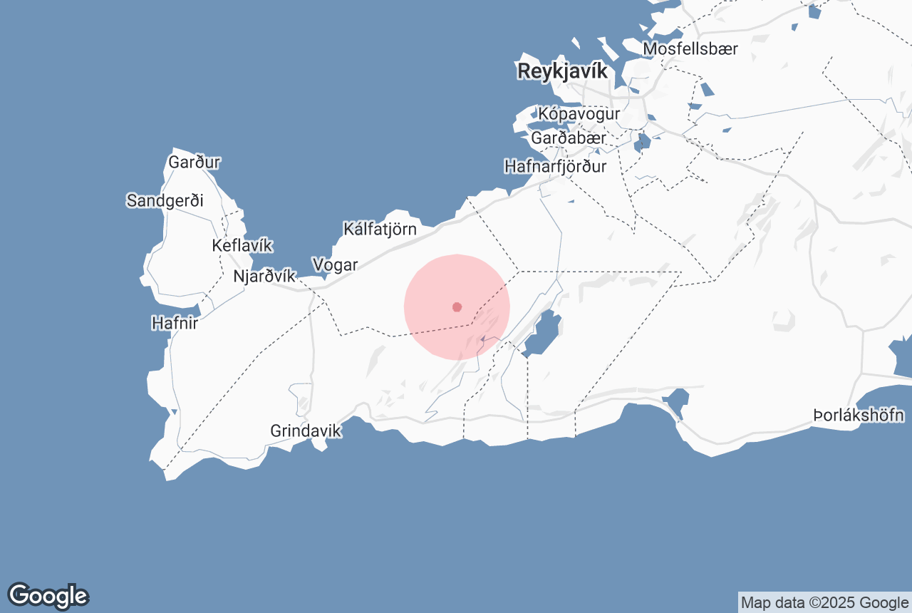
Mt. Keilir is a volcanic mountain, southwest of Hafnarfjörður, and is the most recognisable landmark on the Reykjanes Peninsula.
For visitors travelling from Keflavik Airport, it is arguably their first introduction to the beautiful landscapes around Iceland.
Por Qué Puedes Confiar en Nuestro Contenido
Guide to Iceland es la plataforma de viajes más fiable de Islandia, que ayuda a millones de visitantes cada año. Todo nuestro contenido está escrito y revisado por expertos locales que conocen profundamente Islandia. Puedes confiar en nosotros para obtener consejos de viaje precisos, actualizados y fiables.
Explore this area while on a self drive tour in Iceland.
Formation

Mt. Keilir is a hyaloclastite mountain, meaning it is made from angular, glassy rock formed by volcanic eruptions underneath an ice sheet. These rock formations can create dazzling shapes and colours. Mt. Keilir was formed during the last Ice Age, leading to the mountain’s distinctive, cone-shaped appearance. This relatively early eruption also means the mountain is far older than the lava fields that surround it. Scientists now strongly believe that Mt. Keilir acts as a ‘plug’ for an incredibly large crater below.
Origins
Long before the introduction of lighthouses, seaman used Mt. Keilir’s prominence on the landscape as a way of navigating the Icelandic coastal waters. As to the origins of the mountains’ name, however, very little is known. Keilir is a masculine word used nowhere else in the Icelandic language. The feminine alternative, keila - meaning cone - was, for reasons now lost, deemed unsuitable, despite the mountain's cone shape. The mountains north to Mt. Keilir are named Keilisbræður, meaning Keilir’s brothers.
Hiking
Mt. Keilir can be visited easily whilst travelling between Reykjavik and Keflavik airport and makes for an excellent 2-3 hour hike. The terrain is loose, but not too steep; still rugged enough to pose a challenge for leisurely mountaineering. The summit peaks at 379m, but for those who make it to the top, there are unbelievable 360-degree views of the surrounding area. Views include steam rising from the nearby Blue Lagoon, the Atlantic Ocean, Snæfellsjökull glacier, Reykjavik city, and other neighbouring towns. Just make sure to climb Mt. Keilir on a clear and sunny day. There is also a bench, for some much-needed respite, and an information board describing the sights and directions from the mountain.
Mt. Keilir is a 3km walk from Höskuldarvellir. The road leading up to the mountain car park is a gravel road, Road 41, roughly halfway between Reykjavik and Keflavik. A 4x4 jeep is recommended to make the journey.


