
Katla is a large volcano located on the South Coast of Iceland, near the town of Vik. It is one of the country's most active and potent volcanoes, with a history of impressive eruptions that have shaped the landscape of the southern region.
There is a connection between Katla and Eyjafjallajokull, the infamous volcano that erupted in 2010 and caused widespread disruption to air traffic worldwide. Usually, Katla is often triggered by an eruption in Eyjafjallajokull, going off within a decade afterward, but this eruption hasn't happened yet and is long overdue.
Why You Can Trust Our Content
Guide to Iceland is the most trusted travel platform in Iceland, helping millions of visitors each year. All our content is written and reviewed by local experts who are deeply familiar with Iceland. You can count on us for accurate, up-to-date, and trustworthy travel advice.
Visit the southern coast of Iceland and learn about this incredible volcano by joining a tour of the South Coast or via self-drive by renting a car and exploring the region at your own pace.
Geography and Geology of Katla
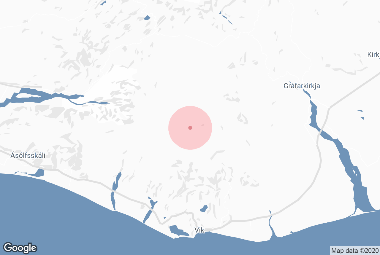
 Katla volcano is located north of the small town of Vik, in the southern region of Iceland. Its peak is 4,961 feet (1,512 meters) above sea level, and its crater is 6.2 miles (10 km) wide. The ice cap of Myrdalsjokull glacier covers Katla and has a layer of up to 2,300 feet (700 m) thick at certain points.
Due to this enormous amount of ice that sits on top of the volcano, some smaller eruptions do not manage to break to the surface. However, even these can be dangerous, as they can cause unexpected floods as the melted water seeps from under the glacier.
One of the best locations to see the effects of such floods caused by Katla is visiting the impressive black sand desert of Solheimasandur. Here, you can see the effects of the glacial melting ending in the Atlantic Ocean as well as Iceland's most famous plane wreck.

Due to the floods caused by Katla, Iceland’s South Coast currently has relatively few settlements. In the past, glacial floods have wiped out entire villages in the region and changed the landscape forever.
The glacial floods following the 1918 Katla eruption were particularly powerful, clearing away huge land areas. Also, the eruption's lava flow was so voluminous that it extended the southern coastline to the ocean, reaching over 8 miles (5 km).
Even though Eyjafjallajokull and Katla volcanos have a historical connection, they are part of different volcanic systems. Katla’s system has an area of 230 square miles (595 square km) and is intrinsically connected to the Eldgja canyon.
-
Read more about The South Coast of Iceland
Tours to Katla
 The impressive Katla volcano is located beneath the peak of Myrdalsjokull glacier, surrounded by outlet glaciers. So, the best way to explore Katla is by visiting its immense ice cap and beautiful ice caves, which are accessible year-round.
Plenty of impressive ice cave tours take you to the beautiful scenery of the Katla and allow you to hike on the glacier and see the beautiful colors of the ice cave.
As you hike in the area, you will see the incredible mixture of ash sand and glacier ice that creates the stunning contrast that Katla is known for. The glacier is only accessible by a 4x4 vehicle, and it is only recommended to reach with an expert local driver guide as the ice can be dangerous to explore, so the best way to explore this beautiful landscape is from the safety of a tour.
-
Discover more about Glacier Tours in Iceland
Where to See Katla
 Katla can be seen from the Ring Road, which encircles the island, while you travel along the South Coast. However, you need clear weather to see it from the road, and it will be visible for much of the drive around the south coast. This road also takes you past iconic locations such as the Seljalandsfoss waterfall and the Reynisfjara black sand beach.
Katla is also visible when exploring one of the glacier tongues of Myrdalsjokull glacier, such as Solheimajokull glacier, the most popular glacier outlet for glacier hiking tours.
This enchanting volcano hidden under a massive glacier is well-known in Icelandic folklore and a captivating sight to witness while traveling along the island's southern coast.


