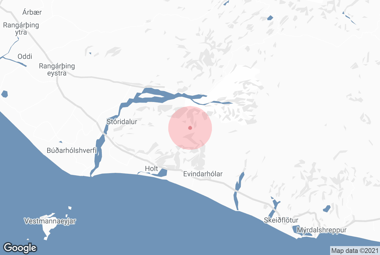
에이야퍄틀라요쿨(Eyjafjallajökull)의 빙하 화산은 2010년 유럽 전역의 항공편에 대혼란을 일으키고, 그 이름을 제대로 발음하려는 모든 뉴스 진행자들을 당황시킨 것으로 전 세계적으로 악명이 높습니다. 높이가 약 1651미터에 달하는 이 화산은 남부 해안의 가장 두드러진 지형 중 하나입니다.
에이야퍄틀라요쿨은 다양한 남부 해안 투어를 통해 방문할 수 있습니다. 이 6일 휴가 패키지와 10일 여름 렌트카 여행 패키지는 에이야퍄틀라요쿨을 지나는 많은 투어 중 두 가지 예에 불과하지요. 렌트카를 이용하시는 분들은 남쪽으로 이동하여 자유롭게 이곳을 탐험하실 수 있습니다.
저희의 콘텐츠를 신뢰할 수 있는 이유
가이드투아이슬란드는 아이슬란드에서 가장 믿을 수 있는 여행 플랫폼으로, 매년 수백만 명의 여행객이 저희와 함께 아이슬란드를 방문합니다. 저희의 모든 콘텐츠는 아이슬란드를 누구보다 잘 아는 현지 전문가들이 작성하고 검토하므로, 정확하고 신뢰할 수 있는 최신 여행 정보만 제공합니다.
지리적 특성

에이야퍄틀라요쿨의 빙하 면적은 약 100제곱킬로미터로, 아이슬란드에서 여섯 번째로 큰 빙하입니다. 네 번째로 큰 미르달스요쿨 빙하와 가까운 곳에 자리하고 있으며, 이 빙하는 또 다른 악명 높은 화산인 카틀라를 품고 있습니다.
에이야퍄틀라요쿨의 분화는 거대하고 파괴적이었지만, 카틀라의 잠재력에 비하면 미미한 수준입니다. 훨씬 더 폭발성이 강하고 두꺼운 얼음 아래에서 분화가 일어나면, 특히 기상 상황과 맞물려 전 세계에 영향을 미칠 것으로 예상됩니다.
이 두 거대한 화산 사이의 마그마 챔버는 서로 연결되어 있으며, 안타깝게도 에이야퍄틀라요쿨에서 화산이 폭발하면 보통 10년 이내에 카틀라에서도 화산이 폭발합니다.
에이야퍄틀라요쿨에는 많은 빙하혀가 있는데, 가장 유명한 곳은 기교쿨(Gígjökull)입니다. 빙하가 녹아 많은 강을 만들어 내었는데, 그중 하나가 쏟아져 내리는 곳이 바로 아름다운 남부 해안의 폭포인 셀야란드스포스입니다. 이 폭포는 폭포수 주위를 한 바퀴 걸어볼 수 있는 독특한 곳이에요.
분화
에이야퍄틀라요쿨의 가장 최근 분화는 의심할 여지없이 아이슬란드 역사상 가장 유명한 분화였습니다. 사실, 1783~1784년에 거대한 화산재 구름을 일으키며 발생해 유럽을 기근에 빠뜨리고 많은 역사가들이 프랑스 혁명에 기여했다고 보는 라키 분화 만큼이나 유명하다고 하는 것이 더 정확할 것 같은데요. 2010년 3월 27일, 마그마가 지표면 아래에서 거품을 일으키기 시작했고 4월 14일에는 정상에서 화산재가 솟아오르기 시작했습니다.
마그마가 아닌 과거 아이슬란드 마을을 초토화시켰던 빙하 홍수에 대한 두려움으로 800명의 주민이 대피했습니다. 동물은 집 안에 가두라는 명령이 내려졌고, 호흡기 질환이 있는 사람들도 실내에 머물러야 했습니다.
4월 15일 저녁에 이미 영국, 스칸디나비아, 독일 일부 지역에 화산재가 상공에 도달하면서 유럽 전역의 항공편이 중단되었습니다. 여행객들은 8일 동안 발이 묶였고, 스코틀랜드와 아일랜드에서는 여파로 인해 5월 항공편까지 지연되기도 했습니다.
다행히 부상자는 없었지만, 화산재로 인해 남부의 일부 지역에서는 호흡기 질환이 발생한 것으로 추정됩니다. 또한 화산재와 홍수로 인해 많은 농장이 파괴되었으며, 일부 농장들은 현재까지도 복구에 어려움을 겪고 있습니다.
874년 정착이 시작된 이후 에이야퍄틀라요쿨은 900년, 1612년, 1821년부터 1823년에 이르기까지 여러번 분화했는데요. 특히, 1800년대에 일어난 분화는 당시 인간과 동물의 뼈 건강에 영향을 미친 것으로 추정되는 엄청난 양의 불소를 방출했습니다.
오늘날의 에이야퍄틀라요쿨
에이야퍄틀라요쿨은 이제 완전히 안심하고 방문할 수 있는 여행지가 되었으며, 맑은 날씨에는 대부분의 남부 해안 투어를 통해 그 모습을 볼 수도 있습니다. 흐볼스볼루르 마을에는 화산 방문객 센터가 있는데, 홍수, 용암, 화산재에 의해 파괴된 농장 중 하나인 소르발드세이리(Þorvaldseyri)를 소유한 한 가족의 경험에 초점을 맞춘 곳이에요.
에이야퍄틀라요쿨은 수백 년 간격으로 분화해 왔기때문에 조만간 다시 분화할 가능성은 매우 낮지만, 앞서 언급했듯이 이웃한 카틀라가 울렁이기 시작할 수도 있습니다...


