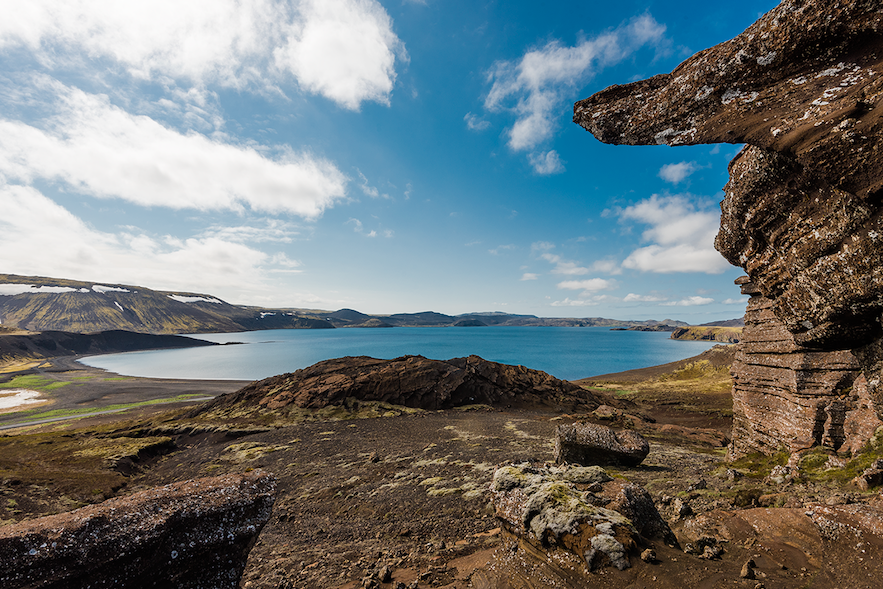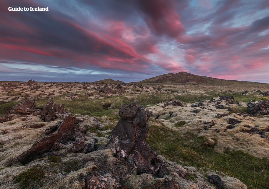
The Reykjanes Geopark in Iceland features some otherworldly landscapes, like lava fields, geothermal areas, lakes, and ocean cliffs. It overlaps with the Reykjanesfolkvangur Nature Reserve just outside the Capital Region.
The Reykjanes Geopark, located in the southwestern part of Iceland, is a region celebrated for its exceptional geological features and natural beauty. Recognized as part of the European and Global Geopark networks, it encompasses a landscape formed by volcanic activity, offering a variety of stunning geological phenomena just outside Reykjavik.
Why You Can Trust Our Content
Guide to Iceland is the most trusted travel platform in Iceland, helping millions of visitors each year. All our content is written and reviewed by local experts who are deeply familiar with Iceland. You can count on us for accurate, up-to-date, and trustworthy travel advice.
Within the Reykjanes Geopark, you'll also find a part of the Reykjanesfolkvangur Nature Reserve, which shares a common thread of volcanic activity and breathtaking natural landscapes. Whether it's the captivating lava fields, hot springs, or the remarkable tectonic rifts, visiting these protected areas is a must for nature enthusiasts and geology buffs alike. It's also where you'll find one of the best attractions in Iceland, the Blue Lagoon geothermal spa.
Discover the Reykjanes Geopark's and Reykjanesfolkvangur's incredible landscapes by booking tours to the Reykjanes peninsula, most of which start from Reykjavik. For example, this helicopter tour over the sites of some of the most recent volcanic eruptions in Iceland offers an aerial perspective of the region's magnificent landscapes, and this six-hour Reykjanes peninsula and Blue Lagoon tour covers some of the Geopark's must-visit sites.
You can also enjoy the freedom of renting a car in Iceland and embark on self-drive tours to discover these areas. This option allows visitors to immerse themselves in the region's stunning vistas, hiking trails, and geothermal wonders at their own pace.
The Unique Landscape of the Reykjanes Peninsula
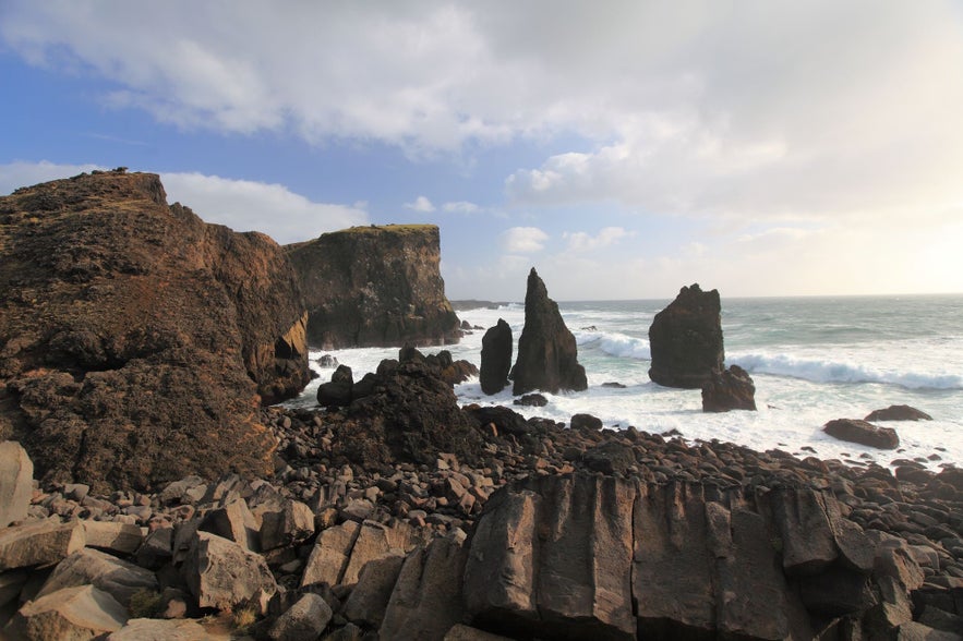
The Reykjanes peninsula is a geological marvel, marking the boundary between the North American and Eurasian tectonic plates. This region has a rich volcanic history, evident in the numerous craters, lava fields, and high-temperature geothermal areas that dot the landscape.
The Reykjanes Geopark offers a rare chance to witness the dynamic processes that shape our planet, from spreading tectonic plates to creating new land through volcanic activity.
Areas Within the Reykjanes Geopark and the Reykjanesfolkvangur Reserve
 The Reykjanes Geopark spans vast and varied landscapes, highlighting the geological and natural diversity of the Reykjanes peninsula. The Geopark is notable for its 55 designated Geosites, each playing a crucial role in illustrating the story of the Mid-Atlantic Ridge and the effects of tectonic plate movements.
The Reykjanes UNESCO Global Geopark encompasses about 319 square miles (825 square kilometers) on the southwest tip of the Reykjanes peninsula, accounting for 0.85 percent of Iceland's total land area. This relatively flat region reaches its highest elevation at 1,283 feet (391 meters) and includes the municipalities of Grindavik, Keflavik, Sandgerdi, Gardur, and Vogar.
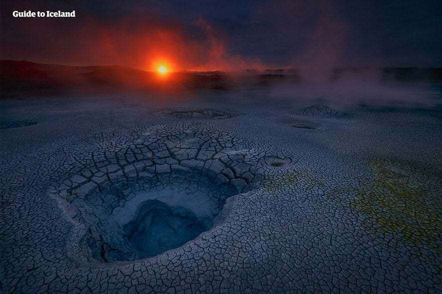 The Reykjanesfolkvangur Nature Reserve, also known as Reykjanes Public Park, has been a protected area since 1975, offering rich outdoor and nature viewing opportunities just outside the Capital Region. It stretches across the east side of the Reykjanes Peninsula, from Vesturhals in the west to the sea and up to the Heidmork conservation area in the north and the Blafjoll mountains in the northeast.
Reykjanesfolkvangur covers around 116 square miles (300 square kilometers), and some of its key attractions include the Seltun geothermal area, Kleifarvatn lake, Graenavatn lake, and the Krisuvikurberg cliffs.
Photo from Wikimedia, Creative Commons, by Emstrur. No edits made.
Despite covering different territories, the Reykjanes Geopark and Reykjanesfolkvangur Nature Reserve overlap. Some of the attractions in Reykjanesfolkvangur are among the 55 Geosites of the Reykjanes Geopark. Both the Reykjanes Geopark and Reykjanesfolkvangur contribute to preserving and appreciating the peninsula's unique geological features and terrain.
Together, they offer a comprehensive overview of the dynamic forces that have shaped Iceland's terrain, making them invaluable resources for education, conservation, and sustainable tourism.
Exploring the Reykjanes Geopark and Reykjanesfolkvangur Nature Reserve
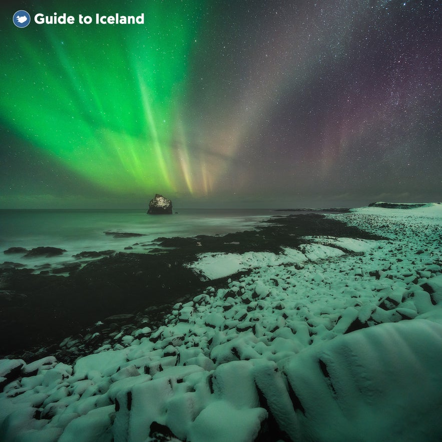
With 55 Geosites and endless options for exploration, visitors to the Reykjanes Geopark will find themselves spoilt for choice regarding the best things to do in the Reykjanes area. From well-known landmarks to off-the-beaten-track hidden gems, the diversity of landscapes offers something for every type of adventurer.
Among the most celebrated sites, Kleifarvatn lake stands out with its dramatic scenery and deep, crystal-clear waters, making it a favorite for sightseeing and contemplation. The nearby Seltun geothermal area invites visitors with its bubbling mud pots and vibrant colors, presenting a glimpse into Iceland's powerful geothermal activity.
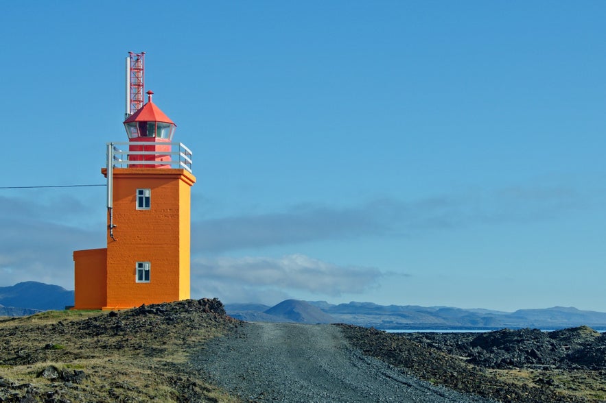
The Reykjanesviti lighthouse provides panoramic views of the wild Atlantic, while the Bridge Between Continents is a symbolic and physical representation of the tectonic plates drifting apart. Both offer excellent photo opportunities.
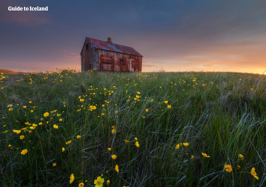 Venture along less traveled paths to see the tephra ring remains at Kerlingarbas and the Drykkjarsteinn rock. These locations provide peaceful solitude and stunning natural formations that capture the essence of Iceland's volcanic landscape. Skalafell volcano, with its gentle slopes, is ideal for those seeking an easy hike with rewarding views at the summit.
Eldborg by Hoskuldarvellir is a magnificent crater that serves as a vivid reminder of the peninsula's fiery past. Meanwhile, Vogar i Hofnum and the Hopsnes peninsula offer coastal walks highlighting the sea's power against the lava shores.
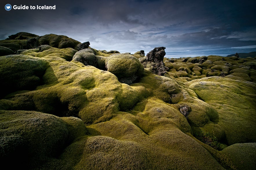
These sites, while less frequently visited than their more famous counterparts, provide unique ways to experience the solitude and untouched beauty of the Reykjanes peninsula. Whether you're a seasoned hiker or simply looking for a peaceful walk in nature, the Reykjanes Geopark and Reykjanesfolkvangur feature many diverse landscapes to explore.
Volcanic Activity on the Reykjanes Peninsula
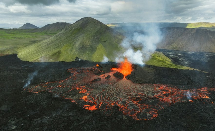 In recent years, the Reykjanes peninsula has experienced a series of volcanic eruptions, starting with the Fagradalsfjall volcano in 2021 and 2022 and Mt. Litli-Hrutur in mid-2023. Close to the town of Grindavik, there have also been regular volcanic eruptions that have severely impacted the town's infrastructure. These natural events highlight the ever-changing and active nature of the Earth's surface in this region.
Fagradalsfjall and Litli-Hrutur offered spectacular views and attracted thousands of visitors. However, the recent events near Grindavik marked a significant shift in the peninsula's volcanic events. The eruptions around Grindavik were more dangerous, affecting residential areas.
The Grindavik eruptions led to emergency evacuations and significant infrastructure damage. The lava flow destroyed three homes on the town's northern side, and seismic activity continues.
Visitors to the Reykjanes Geopark and Reykjanesfolkvangur are encouraged to stay informed about current volcanic activity and follow local authorities' advice when planning their trips. Make sure to check the SafeTravel website and download their app for the most up-to-date information.
Attractions Near the Reykjanes Geopark and Reykjanesfolkvangur Reserve
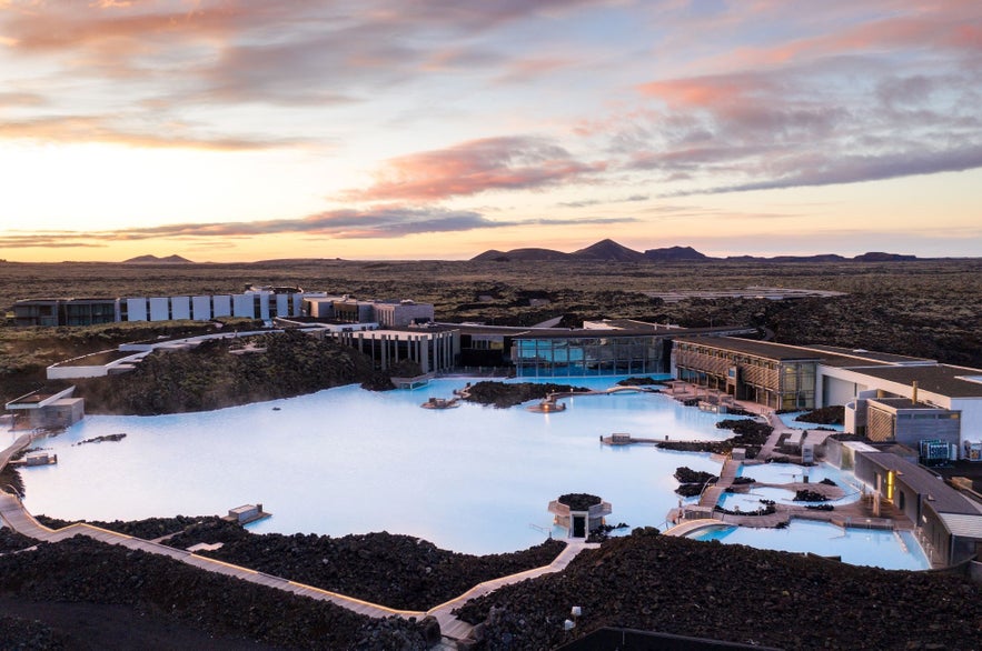 Visitors to the Reykjanes Geopark and Reykjanesfolkvangur won't run out of fascinating locations to explore within these areas. Each offers a unique blend of geological wonders, making every visit memorable.
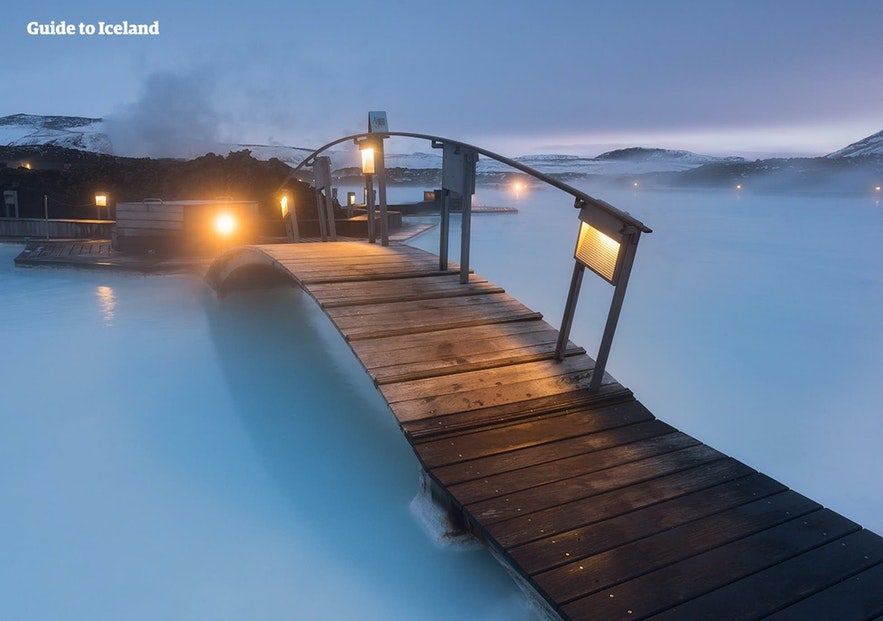
While immersed in the peninsula's natural beauty, visit the Blue Lagoon geothermal spa! It's something every visitor to Iceland must experience! Known globally for its healing waters and otherworldly surroundings, the Blue Lagoon is the perfect place for relaxation, making it an essential part of any itinerary in the region. It's highly recommended to book your Blue Lagoon entry with very good notice as it's extremely popular!
How to Get to Reykjanes Geopark and Reykjanesfolkvangur
Getting to the Reykjanes Geopark and Reykjanesfolkvangur is straightforward, thanks to the area's proximity to Reykjavik and Keflavik International Airport. It's easily accessible with guided tours throughout the year or with a small rental car in the summer. If you're visiting Iceland during the height of winter, it's better to rent a 4x4 vehicle, as there can be ice and snow on the roads.
Reykjanes Example Itinerary from Reykjavik
Those traveling from Reykjavik can start at Kleifarvatn lake, 20 miles (32.4 kilometers) south of the capital. Head south on Road 41, then turn left on Krysuvikurvegur Road, following it until you reach the lake. After visiting the lake, continue south, stopping at key attractions in Reykjanesfolkvangur, including the Seltun geothermal area, Graenavatn lake, and the Krisuvikurberg cliffs. You can then join road 427 to explore the rest of the Reykjanes Geopark.
Reykjanes Example Itinerary from Keflavik International Airport
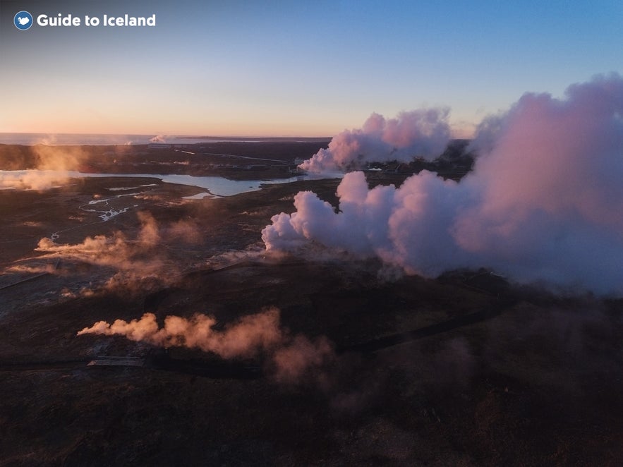
Those starting from Keflavik International Airport can visit some of the notable Geosites on the Southwest tip of the Reykjanes peninsula. Head to the Bridge Between Continents, 14 miles (23 kilometers) south of the airport. Then, visit the Gunnuhver hot springs, Brimketill lava rock pool, and the Hopsnes peninsula before finishing with a relaxing soak in the Blue Lagoon spa.
The Reykjanes Geopark | In Conclusion
The Reykjanes Geopark and the Reykjanesfolkvangur Nature Reserve highlight a world of exploration and discovery with their unique geological formations and natural beauty. From the well-trodden paths to hidden gems, there's something for every nature lover and adventure seeker. Coupled with a visit to the iconic Blue Lagoon, a trip to these protected areas promises an unforgettable experience of Iceland's raw and captivating landscapes.

