 화산.")
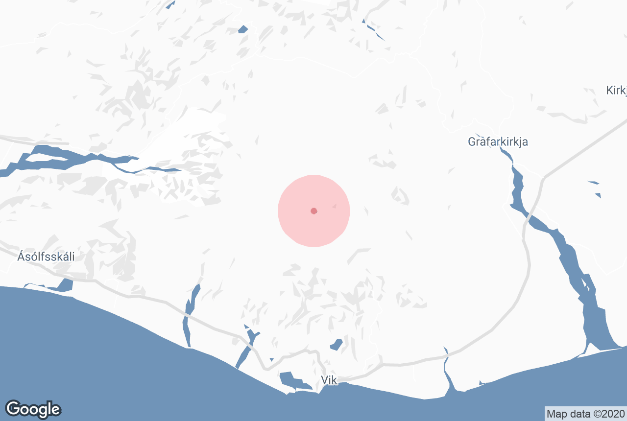
카틀라는 아이슬란드의 남부 해안에 있으며, 비크 마을 인근에 위치해 있습니다. 남부 지역의 지형을 형성한 인상적인 분화의 역사를 지닌 이 화산은 아이슬란드에서 가장 활발하고 강력한 화산 중 하나입니다.
카틀라는 2010년에 분화하여 전 세계 항공편에 광범위한 혼란을 일으킨 에이야퍄틀라요쿨 화산과 연결되어 있습니다. 보통 카틀라는 에이야피야틀라요쿨 화산 폭발로 촉발되어 10년 이내에 폭발하는 경우가 많지만, 이번 폭발은 아직 일어나지 않았고 그 시기도 한참 지났어요.
저희의 콘텐츠를 신뢰할 수 있는 이유
가이드투아이슬란드는 아이슬란드에서 가장 믿을 수 있는 여행 플랫폼으로, 매년 수백만 명의 여행객이 저희와 함께 아이슬란드를 방문합니다. 저희의 모든 콘텐츠는 아이슬란드를 누구보다 잘 아는 현지 전문가들이 작성하고 검토하므로, 정확하고 신뢰할 수 있는 최신 여행 정보만 제공합니다.
아이슬란드 남부 해안 투어에 참여하거나 렌트카 여행 패키지를 통해 직접 운전해 이 놀라운 화산을 찾아가 자신의 속도에 맞춰 지역을 탐험해 보세요.
카틀라의 지리 및 지질
 화산.") 카틀라는 아이슬란드의 남부 지역에 자리한 작은 마을인 비크의 북쪽에 위치해 있습니다. 정상은 해발 1,512미터이고 분화구의 폭은 10km에 달합니다. 미르달스요쿨의 만년설은 카틀라를 덮고 있으며 특정 지점에서는 최대 700m 두께의 층을 이루고 있습니다.
카틀라는 아이슬란드의 남부 지역에 자리한 작은 마을인 비크의 북쪽에 위치해 있습니다. 정상은 해발 1,512미터이고 분화구의 폭은 10km에 달합니다. 미르달스요쿨의 만년설은 카틀라를 덮고 있으며 특정 지점에서는 최대 700m 두께의 층을 이루고 있습니다.
화산 위에 쌓여 있는 엄청난 양의 얼음으로 인해 일부 작은 분화는 표면으로 분출하지 못합니다. 하지만 이마저도 빙하 아래에서 녹은 물이 스며들어 예상치 못한 홍수를 일으킬 수 있어 위험할 수 있어요.
카틀라로 인한 홍수의 영향을 볼 수 있는 가장 좋은 장소 중 하나는 인상적인 검은 모래 사막인 솔헤이마산두르입니다. 이곳에서는 아이슬란드에서 가장 유명한 비행기 잔해뿐만 아니라 대서양에서 빙하가 녹아내리는 모습을 볼 수 있습니다.

카틀라로 인한 홍수로 인해 현재 아이슬란드 남부 해안에는 비교적 적은 수의 정착촌이 있습니다. 과거에는 빙하 홍수로 인해 이 지역의 마을 전체가 사라지고 풍경이 완전히 바뀌었어요.
1918년 카틀라 화산 폭발 이후 발생한 빙하 홍수는 특히 강력하여 거대한 땅을 쓸어버렸습니다. 또한 분출된 용암의 흐름이 워낙 방대하여 남부 해안선이 5킬로미터 이상 바다로 확장되는 결과를 낳았어요.
에이야피야틀라요쿨과 카틀라 화산은 역사적으로 연결되어 있지만 서로 다른 화산계의 일부입니다. 카틀라 화산계의 면적은 595제곱킬로미터이며 엘드그야 협곡과 본질적으로 연결되어 있습니다.
-
아이슬란드 남부 해안에 대해 자세히 알아보세요.
카틀라 투어
 화산 위에 서 있는 여자.") 인상적인 카틀라 화산은 미르달스요쿨 빙하 정상 아래에 있으며, 빙하설로 둘러싸여 있습니다. 따라서 카틀라를 탐험하는 가장 좋은 방법은 연중 내내 접근 가능한 거대한 만년설과 아름다운 얼음 동굴을 방문하는 것입니다.
인상적인 카틀라 화산은 미르달스요쿨 빙하 정상 아래에 있으며, 빙하설로 둘러싸여 있습니다. 따라서 카틀라를 탐험하는 가장 좋은 방법은 연중 내내 접근 가능한 거대한 만년설과 아름다운 얼음 동굴을 방문하는 것입니다.
인상적인 얼음 동굴 투어를 통해 카틀라의 아름다운 경치를 감상하고 빙하 위를 하이킹하며 얼음 동굴의 아름다운 색채를 감상할 수 있습니다.
이 지역에서 하이킹을 하다 보면 카틀라를 더욱 유명하게 만든 화산재 모래와 빙하 얼음의 놀랍도록 극명한 대조를 볼 수 있습니다. 빙하는 4륜구동 차량으로만 접근할 수 있으며, 얼음이 미끄럽고 위험할 수 있으므로 현지 전문 운전가 및 가이드와 함께 가는 것이 이 아름다운 풍경을 안전하게 탐험하는 가장 좋은 방법이에요.
-
아이슬란드 빙하 투어에 대해 자세히 알아보세요.
카틀라를 볼 수 있는 장소

카틀라는 남부 해안을 따라 여행하는 동안 아이슬란드를 둘러싸고 있는 링로드에서 볼 수 있습니다. 하지만 도로에서 카틀라를 보려면 날씨가 맑아야 하며, 남부 해안의 대부분의 장소에서 카틀라를 볼 수 있습니다. 또한 이 도로를 따라 여행할 때 셀야란드스포스 폭포와 레이니스피야라 검은 모래 해변 같은 유명 명소들도 들를 수 있습니다.
빙하 하이킹 투어에서 가장 인기 있는 미르달스요쿨의 빙하설 중 하나인 솔헤이마요쿨 빙하를 탐험할 때에도 카틀라를 볼 수 있습니다.
거대한 빙하 아래에 숨겨진 이 매혹적인 화산은 아이슬란드 민속에서 잘 알려져 있으며 아이슬란드의 남부 해안을 따라 여행하는 동안 볼 수 있는 매혹적인 광경입니다.


