
Tindfjöll is a mountain ridge that runs south from the glacier and volcano Tindfjallajökull. It was formed in an eruption 54,000 years ago.
Photo above from Wikimedia, Creative Commons, by Borvan53. No edits made.
저희의 콘텐츠를 신뢰할 수 있는 이유
가이드투아이슬란드는 아이슬란드에서 가장 믿을 수 있는 여행 플랫폼으로, 매년 수백만 명의 여행객이 저희와 함께 아이슬란드를 방문합니다. 저희의 모든 콘텐츠는 아이슬란드를 누구보다 잘 아는 현지 전문가들이 작성하고 검토하므로, 정확하고 신뢰할 수 있는 최신 여행 정보만 제공합니다.
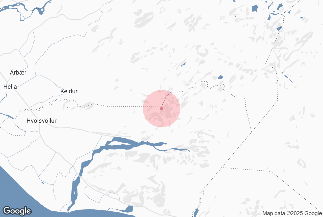
Tindfjöll is located in the south-west of the Icelandic highlands, close to settlements such as Reykholt and Fluðir, and attractions such as Gullfoss waterfall. The tallest mountain in the range is simply called 'the Peak' and stands at 1251 metres (4104 feet). Tindfjöll translates directly to 'Peak Mountains'.
'The Peak' is still not as tall as Tindafjallajökull itself, the highest point of which is 1462 metres. This summit is named Ýmir, after the giant from Old Norse Mythology whose death created the earth and heavens.
Explore this area on a self drive tour in Iceland.


