


Description
Summary
Description
Get ready for five days of epic adventures on this South Iceland self-drive tour. Soak in the Blue Lagoon, explore the Golden Circle, and discover hidden gems you won’t find on your own. This package is perfect for those who want a one-of-a-kind South Coast adventure without the hassle of organizing every detail.
This summer self-drive tour in Iceland combines the country’s most famous attractions with hidden gems off the beaten path. Every detail is planned with expert local knowledge, ensuring you make the most of your time while still enjoying the freedom of a self-drive adventure.
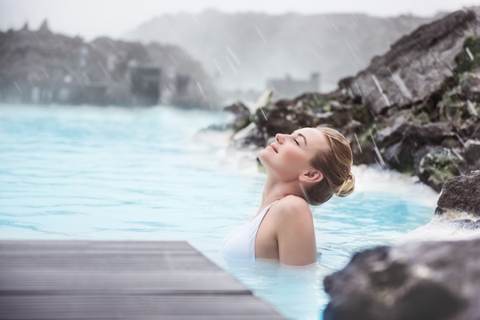
Your journey starts the moment you land at Keflavik International Airport. Pick up your rental car and head to Reykjavik, where you can unwind from your flight or start exploring immediately. A visit to the famous Blue Lagoon geothermal spa is the perfect way to ease into your adventure.
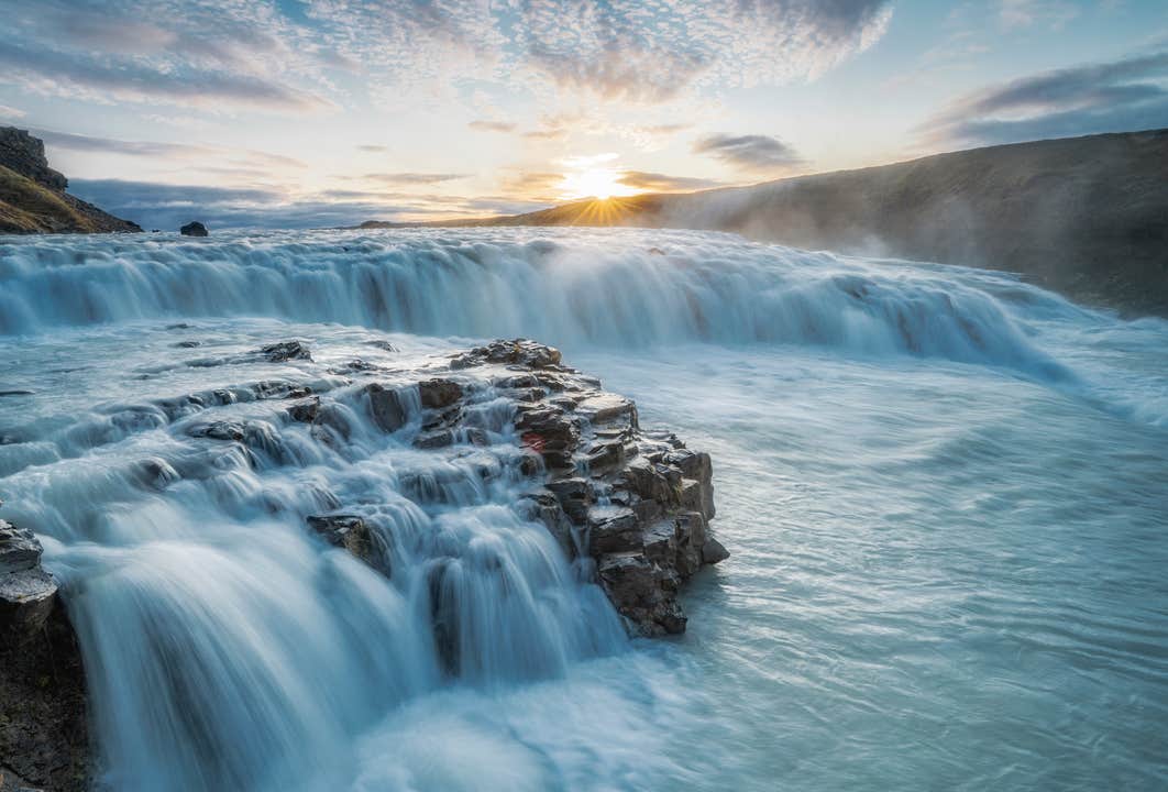
The real adventure starts the next day as you drive along the iconic Golden Circle route. Witness the geological wonder of Thingvellir National Park and see the dramatic rift between two tectonic plates. Marvel at the bubbling hot springs of the Geysir Geothermal Area and stand in awe of the powerful Gullfoss Waterfall.
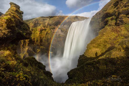
Iceland’s South Coast offers a drive like no other, with the towering Eyjafjallajokull Volcano dominating the landscape. Along the way, the mighty cascades of Seljalandsfoss and Skogafoss Waterfalls create an incredible sight.
Reynisfjara Black Sand Beach and its towering basalt columns create an otherworldly scene, with powerful Atlantic waves adding to the drama. Since you’re in control, you can take your time at each stop and even explore some lesser-known spots along the way.
The highlight of your adventure awaits at Jokulsarlon Glacier Lagoon, where massive icebergs float serenely in deep blue waters. Walk along the stunning Diamond Beach and admire the chunks of glistening ice that create a surreal landscape.
Add more magic to your trip by customizing it! Choose from the incredible activities available at unbeatable prices. Sail among towering icebergs, try snowmobiling across a glacier, or explore an ice cave.
Each experience offers a unique way to connect with Iceland’s breathtaking natural wonders. Even after booking, your personal travel agent is available 24/7 to help you adjust your itinerary or add exciting experiences.
Moreover, you'll travel in comfort, staying in handpicked hotels. You have options to customize based on your budget and desired comfort level.
From arrival to departure, this summer self-drive tour in Iceland guarantees a stress-free, unforgettable journey at unbeatable value. Plus, you’ll have full flexibility, with free cancellation and a full refund up to 24 hours before departure.
Witness the wonders of the Golden Circle and beyond! Experience more than just the usual tourist hotspots on this 5-day South Iceland self-drive tour. Check availability now by choosing a date.


