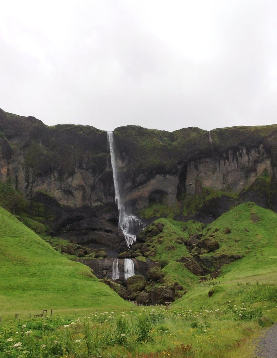
So, on leaving Þakgil we drove due east, but not before heading briefly into Vík again to take care of some business. And of course to snap some more photos with gorgeous scenery in the background.
South Iceland is so exquisitely beautiful. I was reminded of this as we came upon one amazing sight after another ...
... Before finally arriving at our next night stop, this time at the farm Brunnhóll.
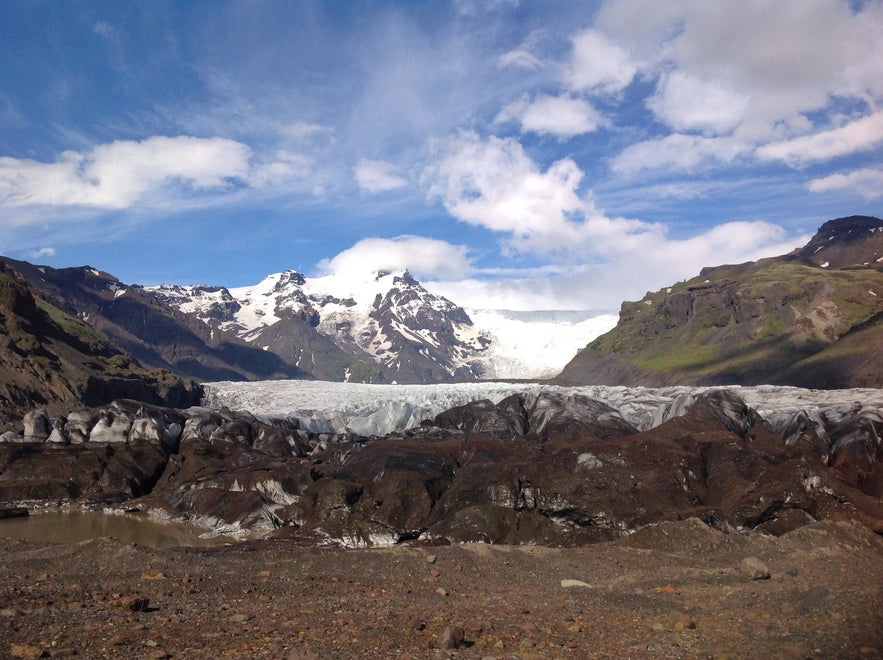
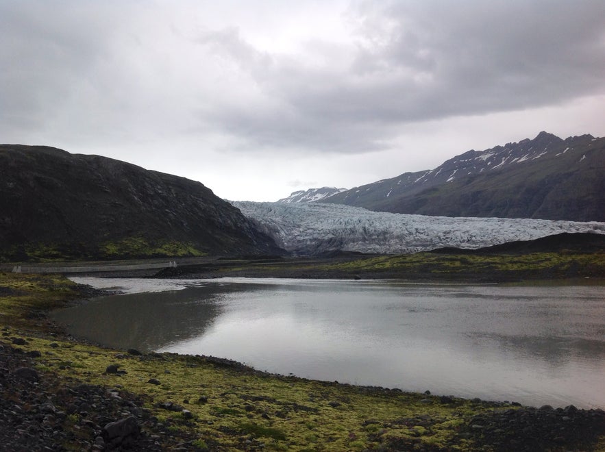
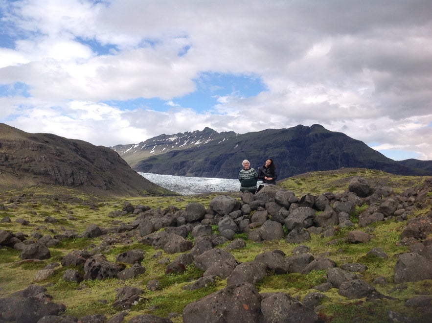
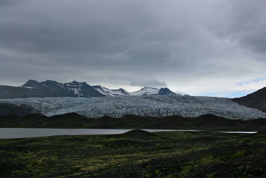
We had been told that there were some really good hiking routes in the area that were slightly off the beaten track. Indeed, we had not been misinformed. Practically across the road from Brunnhóll there was a gravel road that led towards the glacier. We drove on for about 15 minutes and parked the car near a suspension bridge that is new and apparently was constructed so you could walk to the glacier’s edge but the river suddenly changed its direction and now blocks the way. I guess glacier rivers have a propensity for that sort of thing.
The farmers in the area have done an amazing job of setting up information signs and creating hiking paths, and the whole story behind this place is fascinating on so many levels. On the one level there is the story about how, over the past century or so, people have - yes - tried to control the flow of the river, mainly to protect the farms in the area from flooding. (There are stories of whole farms being swept away in glacial floods in that region.) The first dike was built in 1936, and what a feat! It was all done with picks and shovels, and massive physical exertion (and joint effort) was required to move huge boulders and other obstacles. There are still some ruins left of dwellings that the workers built to live in during the summer in which they were building the dikes.
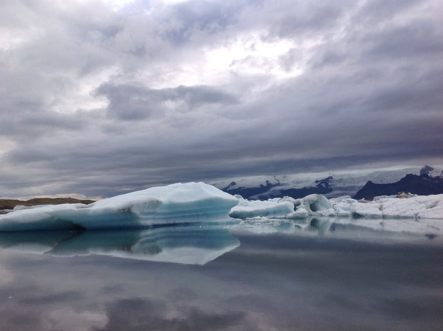
That was one story. The other was the story of the glacier itself that is carved into the landscape. You can actually see how much the glacier has receded in recent years ... the signs are visible. Of course, as we know, this is happening at an alarming rate, and has accelerated much over the last decade or so. This is very evident in that the vegetation (moss, etc.) has not had time to grow in the place where the glacier has receded over this period. Another sign are the “waves” of sand in the landscape close to the glacier, that are roughly 5 metres high (give or take), next to which there is a flat space of land between them and the glacier’s edge. The “waves” are the debris that the glacier used to push out from beneath itself when it was operating under “normal” conditions ... but now it is not adding to its weight in the middle, which means it’s not forcing out any sand or rocks from beneath it ... it’s simply melting.
This is all very tragic and alarming ... but also incredibly fascinating to see the signs so laid so bare in front of you.
Highly, highly recommended. For anyone who wants to check it out, just ask the people at Brunnhóll and they’ll direct you to the right place.
WHERE WE STAYED
Brunnhóll. Really fine accommodation, not your run-of-the-mill farm holiday hostel-like rooms, but clean, tidy and modern, with ensuite bath, a flat-screen TV, and free wi-fi, (though it should be said that it doesn’t work fantastically in all the rooms - and didn’t work very well in ours). That said, there are cosy corners to sit in various places, where the wi-fi works well. And the location is very idyllic ... hardly a sound during the night, and then we woke up to birdsong.
DON’T MISS
The homemade ice cream at Brunnhóll, made with milk from their own cows. (The liquorice flavour was AMAZING.) Do yourself a favour and try it - even if you’re just passing through. It’s worth it.
I'm posting regular updates from the road on my Facebook, Twitter and Instagram accounts. Join me!


