
Rugged landscapes and the mossy Nyjahraun lava field surround this impressive volcano, which is part of the more extensive Hekla volcanic system. Hekla is one of Iceland's most active volcanoes, but the Krakatindur peak hasn't erupted since 1878.
You can visit the Krakatindur volcano on a seven-day summer self-drive tour of Iceland — but you'll need to hire a 4x4 to get there. Alternatively, book a private super jeep tour of the Highlands and ask your guide to take you to see the volcano.
Why You Can Trust Our Content
Guide to Iceland is the most trusted travel platform in Iceland, helping millions of visitors each year. All our content is written and reviewed by local experts who are deeply familiar with Iceland. You can count on us for accurate, up-to-date, and trustworthy travel advice.
Photo from Flickr, Creative Commons, by Craig Stanfill. No edits made.
What Is Krakatindur in Iceland?
Krakatindur is a non-active volcano, meaning it hasn't erupted for a long time and doesn't show any signs of erupting again soon. It's about 2,815 feet (roughly 858 meters) high and has a stunning, jagged appearance.
Why Visit the Krakatindur Volcano?
Krakatindur is a good place for hiking to get off the beaten path and explore a more peaceful area of Iceland. It's in the heart of the Icelandic Highlands and is a perfect destination for nature enthusiasts who want to go hiking without the crowds associated with better-known attractions.
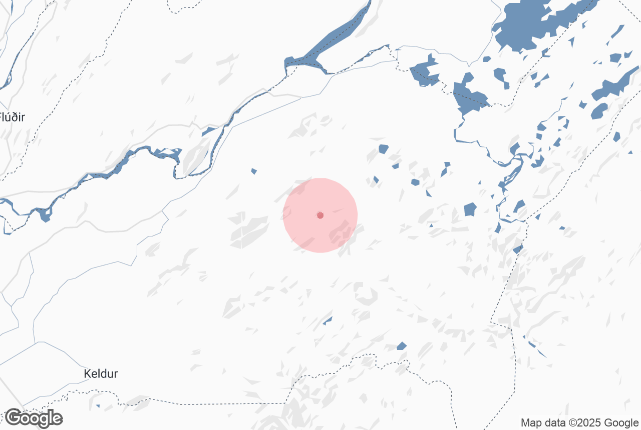
Where Is the Krakatindur Volcano?

The Krakatindur volcano is in South Iceland, north of the Thorsmork Valley and west of the Fjallabak Nature Reserve (popular hiking areas). It's in a remote area of the Highlands, meaning it can be tricky to reach without a 4x4.
How To Reach the Krakatindur Volcano
Reaching the Krakatindur volcano requires a vehicle with four-wheel drive, as it's not on a main road. It's a challenging journey over steep, bumpy tracks, so don't go alone if you aren't used to driving mountainous roads. Book a private tour with an experienced local guide instead.
If you're an experienced driver, you can reach the volcano with a 4x4. From Reykjavik, follow the Ring Road for about 47 miles (roughly 77 kilometers), then turn left onto the Landvegur road (route 26). Follow this for around 30 miles (approximately 48 kilometers) until you reach the Fossabrekkur waterfalls.
Shortly after the falls, turn right onto the F225. You'll need to be very careful from here, as Icelandic F-Roads are unpaved and tricky to manage. Near the Hekla F-Road, you'll find a mountain track that leads to the Krakatindur volcano.
Other Attractions Near the Krakatindur Volcano
There are numerous natural attractions near the Krakatindur volcano that you can visit while in the area.
Fjallabak Nature Reserve
The Krakatindur volcano is close to the Fjallabak Nature Reserve, one of Iceland's most picturesque hiking destinations. Fjallabak is renowned for its stunning and diverse landscapes, including colorful rhyolite mountains, expansive lava fields, glacial rivers, and geothermal areas.
 It offers numerous hiking trails and outdoor recreation opportunities, immersing visitors in Iceland's pristine wilderness while experiencing its unique geological features and natural beauty.
Landmannalaugar
The Landmannalaugar hiking area is located within the Fjallabak Nature Reserve, which encompasses a vast and diverse wilderness in Iceland's southern highlands.
Landmannalaugar is a popular starting point for various hiking trails, including the gorgeous Laugavegur Trail. This trail takes trekkers through some of Iceland's most breathtaking scenery, including glaciers, lava fields, and pristine valleys.
Thorsmork Valley
At the other end of the Laugavegur Trail is the Thorsmork Valley, also known as the Valley of Thor. This stunning area boasts spectacular mountain scenery and is a haven for outdoor enthusiasts.
 Another popular hiking trail in the Thorsmork Valley is the Fimmvorduhals Pass. It's a 19-mile (30-kilometer) trek between the Eyjafjallajokull and Myrdalsjokull glaciers. You can tackle the hike alone or join a group hiking tour departing from the Skogafoss waterfall.
Adventurous travelers who want to spend more time hiking in the Highlands will love this six-day trekking tour that covers the Laugavegur and Fimmvorduhals trails.


