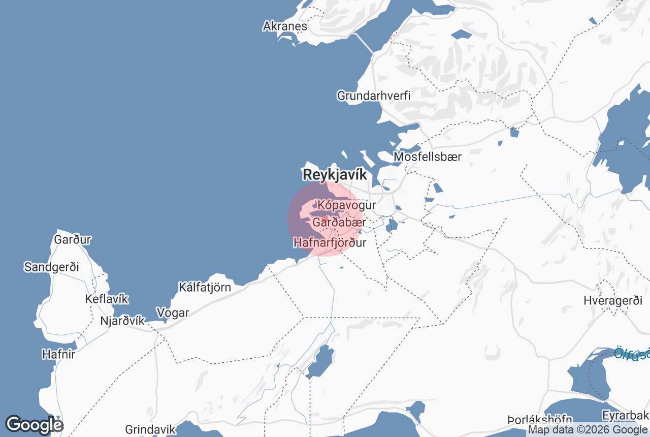
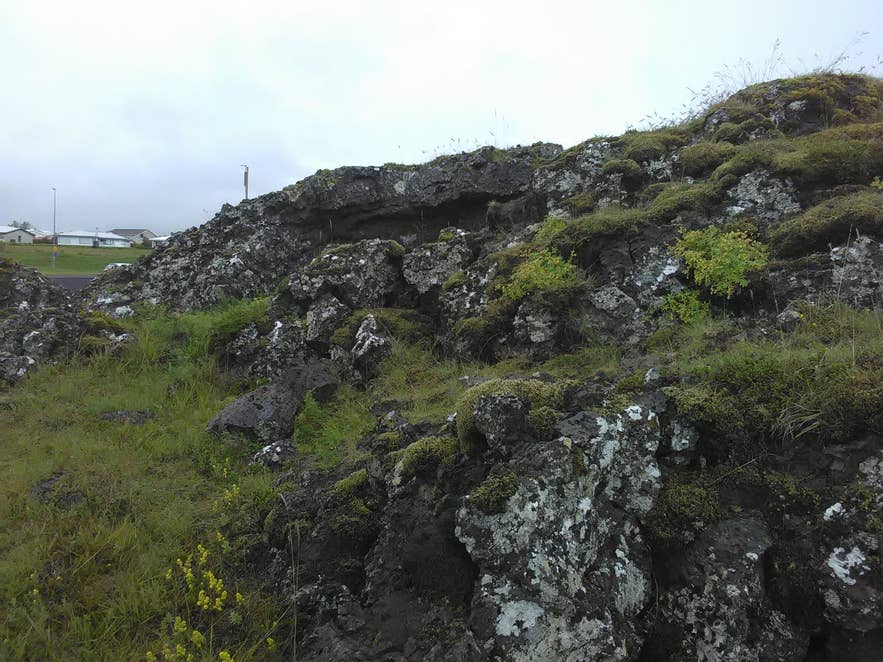
Mossy lava in Gálgahraun. Photo: Hornstrandir1, CC BY-SA 4.0
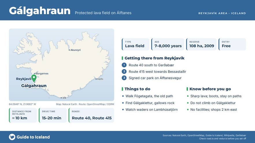
Galgahraun lava field (Icelandic: Gálgahraun, "Gallows Lava") is a protected lava field on the Álftanes peninsula in Garðabær, about 10 km by road south of central Reykjavík.
It is the northernmost tongue of Búrfellshraun, a lava flow that ran from the Búrfell crater above Hafnarfjörður to the sea roughly 7,000–8,000 years ago, and it is one of very few places in the capital area where a lava flow still reaches the shore exactly as it set.
The name comes from Gálgaklettur, a tall split rock in the lava where criminals condemned at the Kópavogur assembly were hanged and buried. Since 2009 the 108-hectare field has been a nature reserve (friðland).
Key Takeaways About Gálgahraun
- Northernmost tongue of the 7,000–8,000-year-old Búrfellshraun flow, protected as a 108 ha nature reserve since 2009
- Named after Gálgaklettur, the execution rock of the Kópavogur assembly; home of the critically endangered lichen gálgaskegg
- Fógetagata, the old route across the lava, leads towards Bessastaðir, the president's residence
- Painted dozens of times by Jóhannes Kjarval; site of the 2013 Hraunavinir road protests
- Free, open all year; 15–20 minutes' drive from central Reykjavík via Routes 40 and 415, rough lava paths
Why visit Galgahraun lava field
Gálgahraun looks different from most lava near Reykjavík. The flow ran out over marshland south of the Lambhúsatjörn lagoon, and steam from the waterlogged ground blew the cooling lava apart, leaving a chaos of pits, fissures, ridges and free-standing pillars, with at least one cave.
Because the lava edge sits in the sheltered inlets of Arnarnesvogur and Lambhúsatjörn, the sea has barely eroded it, so the shoreline is essentially the one the eruption made. The reserve protects the geology, the plant cover (moss, heath and birch scrub colonising the rock), the birdlife of the surrounding tidal flats, and the archaeology.
Two historical threads run through the field. One is Fógetagata, also called Álftanesgata, the old route across the lava that linked Bessastaðir, the seat of the Danish king's representative and now the president's residence, and the Álftanes farms with Reykjavík and Seltjarnarnes. The other is Gálgaklettur.
The assembly at Kópavogur used this rock as its place of execution, almost within sight of the bailiff's fields at Bessastaðir, and the condemned were buried in the lava below. On the rock grows a rare lichen, gálgaskegg ("gallows beard"), known from this one site in Iceland and listed as critically endangered.
The painter Jóhannes Kjarval worked here repeatedly, producing dozens of canvases of Gálgahraun's rock and moss, some of which are counted among his most important works. Walkers have followed him since; the Iceland Touring Association began guided walks in the lava in the early 1970s.
The field also has a modern history: in October 2013 the conservation group Hraunavinir lay down in front of machinery to stop a new Álftanesvegur road being cut through the southern part of the lava, and on 21 October police arrested dozens of protesters, among them the broadcaster Ómar Ragnarsson.
The road was built through Garðahraun; the protected reserve itself lies north of it.
How to get to Galgahraun lava field
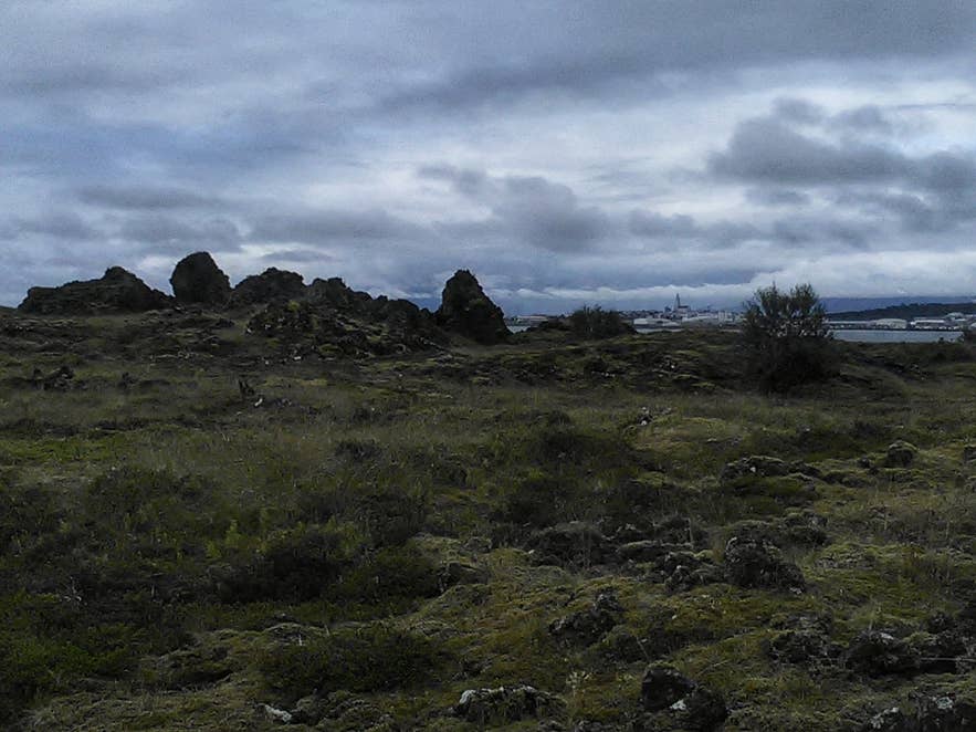
Lava pillars in Gálgahraun. Photo: Hornstrandir1, CC BY-SA 4.0
Gálgahraun is 15 to 20 minutes' drive from central Reykjavík. Take Hafnarfjarðarvegur (Route 40) south to Garðabær, then Álftanesvegur (Route 415) west towards Bessastaðir; the lava lies on the north (right-hand) side of the road.
A signed car park for the reserve is on Álftanesvegur at the edge of the lava; footpaths also enter the lava from the Álftanes side further west. Strætó buses to Álftanes run along Álftanesvegur past the lava; check straeto.is for the nearest stop.
From the car park, marked paths lead into the lava; Fógetagata and Gálgaklettur are within a short walk (the reserve covers only about 1 km²), and a loop of the reserve takes one to two hours. The paths are rough lava and are not suitable for wheelchairs or pushchairs.
Best time to visit
The reserve is open all year and is at its best from May to September, when the moss and heath are green, the tidal flats of Lambhúsatjörn are busy with waders, and the evenings are long. Autumn brings colour to the birch scrub.
In winter the lava is passable on a calm day but can be icy, and daylight is short; the low sun does suit Kjarval-style photographs of the rock. Spring and autumn migration (April–May, September–October) are the best times for birdwatching on the adjoining shore.
Safety and practical tips
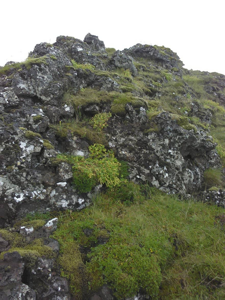
Moss and birch on Gálgahraun lava. Photo: Hornstrandir1, CC BY-SA 4.0
- The ground is sharp, uneven and full of hidden holes. Wear boots with ankle support and stay on the paths; a fall here can mean a bad cut.
- Do not climb on Gálgaklettur. It is a protected archaeological site and home to a critically endangered lichen.
- The reserve is unfenced and there are no facilities, fees or opening hours. The nearest toilets, cafés and shops are in Garðabær town centre, 2 km east.
- Dogs are welcome on a lead; the shore is an important bird habitat, especially during nesting (May–July).
- Take all litter with you and do not move or stack stones; cairns on the old paths are protected.
- Wind off the sea can be strong even on fine days; bring a windproof layer.
Nearby attractions
- Gálgahraun bílastæði/parking – 0.7 km. The reserve car park on Álftanesvegur.
- Bessastaðir – 1.8 km. The president's residence and church at the end of Fógetagata.
- Hellisgerði – 2.6 km. Hafnarfjörður's lava park, said to be home to elves.
- Hofsstadir Viking Longhouse Historic Park – 2.7 km. Excavated 10th-century longhouse in Garðabær.
- Sky Lagoon – 2.7 km. Geothermal lagoon on the Kársnes shore across Arnarnesvogur.
- Hafnarfjordur – 3 km. The harbour town built in the same lava flow.
Tours that visit Galgahraun lava field
- Affordable Evening Sightseeing Tour of the Greater Reykjavik Area – a 2.5–3 hour evening sightseeing drive by SUV from Hallgrímskirkja that stops at Gálgahraun for photos and the story of the executions and Kjarval's paintings, after the Hofsstaðir longhouse in Garðabær and before Bessastaðir.
