

Description
Summary
Description
Step onto the ice as a working citizen scientist on this Katla Glacier expedition from the town of Vik in South Iceland. This 6.5-hour glacier mapping trip suits curious travelers, families with children aged 7 and up, and anyone who would rather contribute to climate research than just photograph it.
This unique experience in Iceland includes a licensed driver-guide, a 4x4 ride to the glacier outlet from Vik, and every piece of scientific and glacier safety equipment you need. You also leave with a Citizen Scientist Certificate from Katla UNESCO Global Geopark and your name printed in a published Geopark report.
Your day starts in the morning at Kotlusetur, the Katla Visitor Center in Vik. After an educational briefing on the geology of the area, you climb into a 4x4 vehicle and head inland toward the ice.
The drive builds anticipation as the Myrdalsjokull Ice Cap fills the horizon. Hidden beneath that ice sits Katla Volcano, one of the most closely monitored volcanic systems in Iceland. Your guide explains how the volcano and the glacier are linked, and why the outlet tongues spilling from the ice cap are retreating.
At the glacier outlet, you receive a safety briefing and an introduction to mapping techniques before fitting your gear. Microspikes or crampons are supplied based on the shoe size you provide when booking, so the walk onto the lower ice feels steady rather than technical.
You then cross the lower surface of Katla Glacier with your guide, reading the ridges, meltwater channels, and debris bands that record how the ice has moved. This is where the real work begins.
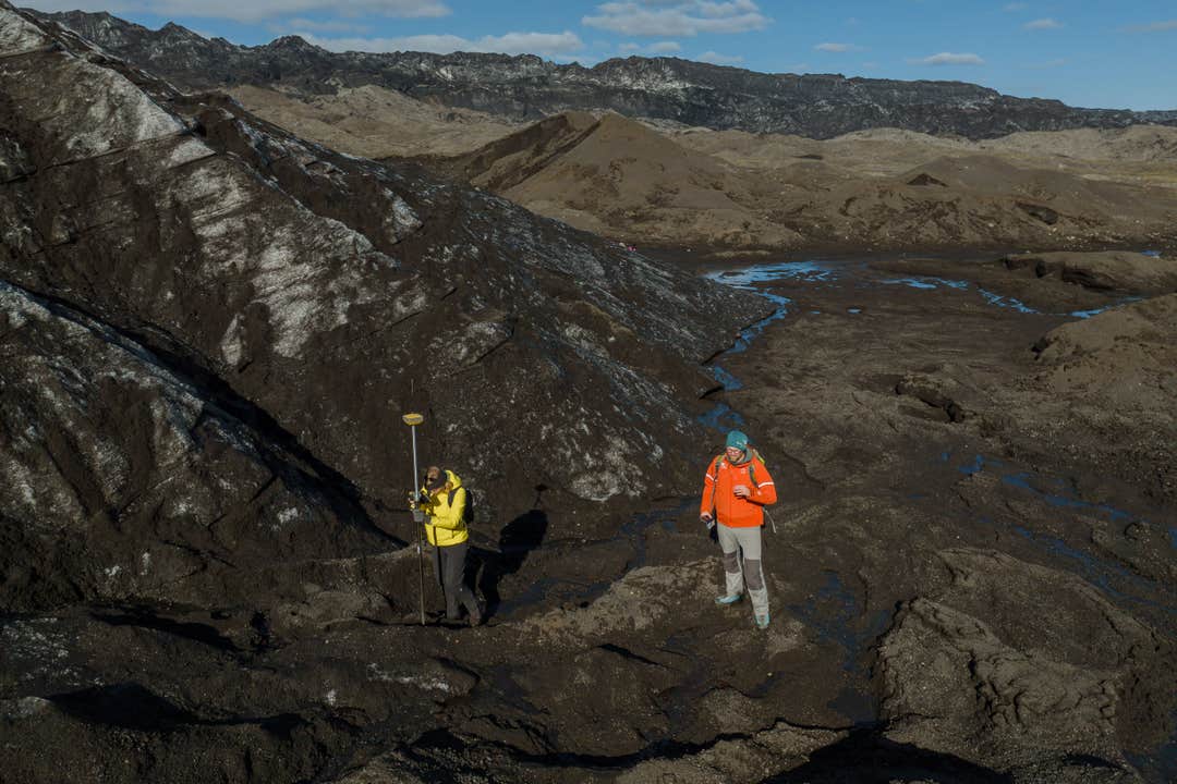
Using GPS equipment, your group will record the position of the glacier margin and other measurements that feed directly into Katla Geopark's long-term monitoring. Guides on these expeditions are trained to walk you through each reading, so no science background is needed to take part.
A break on the ice gives you time for the packed lunch you bring, with mountains on every side and the glacier stretching out at your feet. Your guide uses the pause to connect the wider landscape together, from the ash layers underfoot to the black sand coastline below.
After the descent, the 4x4 returns you to Vik, and your processed results arrive by email later, along with updates as the data set grows.
Sign up for this Katla Glacier citizen science expedition from Vik and spend a day mapping real ice for real research. Check availability now by choosing a date.


