

Description
Summary
Description
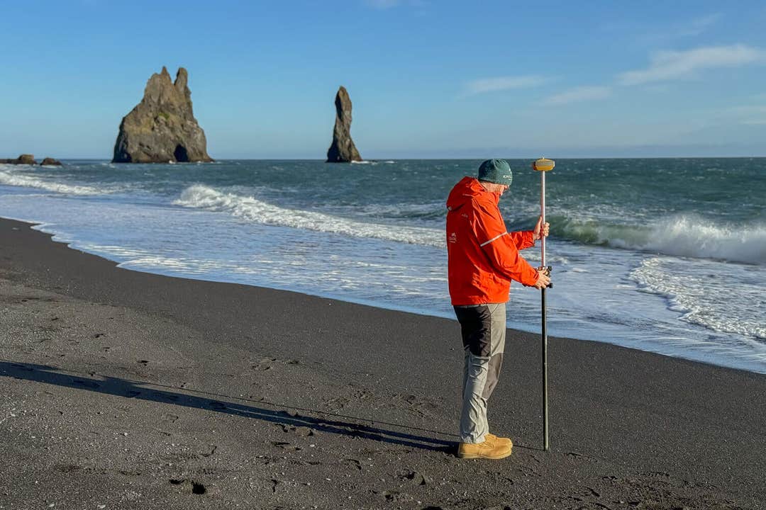
Become a citizen scientist and help track the changing coastline of Reynisfjara Black Sand Beach on this small-group coastal mapping tour in Iceland. This 1.5-hour science day trip on the South Coast suits curious travelers, geology enthusiasts, and anyone who wants their visit to Iceland to have a genuine research legacy behind it.
Joining this experience gives you direct access to a professional geoscientist, dedicated GPS mapping equipment, and drone imagery normally reserved for research teams. Each expedition welcomes only a handful of participants, so you get personalized instruction, a certificate, and a data processing lesson. Your name is also credited in a Katla Geopark research report once the results are compiled.
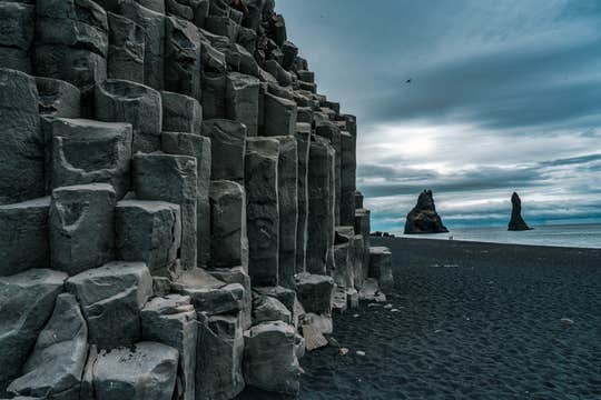
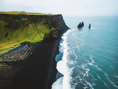
Reynisfjara is Iceland's most photographed beach, known for its black volcanic sand, hexagonal basalt columns, and the Halsanefshellir Cave. Just offshore, the Reynisdrangar Sea Stacks rise up to 217 feet (66 meters) from the surf, said in local folklore to be trolls turned to stone by the rising sun.
The day begins at the Reynisfjara viewpoint near Vik, where your professional guide runs a short training session covering the science behind coastal monitoring and the equipment you will be using that day. Exact timing depends on the tide and weather, since accurate measurements can only be taken under the right conditions.
Guided by your geoscientist, you will walk sections of this famous black sand beach, recording GPS coordinates, capturing land photographs, and comparing your findings against previous survey data.
Along the way, your guide explains how storms, ocean currents, and volcanic activity continue to reshape this stretch of Katla UNESCO Global Geopark. This includes erosion that has visibly altered parts of Reynisfjara itself in recent seasons.
Once the fieldwork wraps up, the group regroups to process the data collected that day. You'll discuss what it reveals about erosion, accretion, and the beach's long-term stability. You will also see how your measurements fit into the Geopark's wider coastal monitoring network across South Iceland.
Group numbers are kept small for a more personal experience. Transportation is not included, so you will need your own vehicle to travel to and from Reynisfjara. The black sand beach is around a 2.5-hour drive from Reykjavik, making this experience particularly convenient for self-drive travelers exploring Iceland’s South Coast.
Trade a typical South Coast sightseeing stop for a real contribution to Icelandic research on this citizen science coastal mapping tour at Reynisfjara. Check availability now by choosing a date.


