

Description
Summary
Description
Trade your camera for a GPS unit on this citizen science coastal mapping experience at Landeyjasandur Beach on the South Coast of Iceland. This 1.5-hour experience led by a Katla Geopark scientist is perfect for curious travelers, families with older kids, and anyone who wants a genuine science project to go along with an Iceland road trip.
Booking this experience connects you directly with Katla UNESCO Global Geopark's own research team, so every measurement you take supports an active monitoring project rather than a staged demonstration. The price includes a mapping specialist, GPS and drone equipment, a short training lesson, a certificate, and set of results emailed to you afterward.
The experience begins at Landeyjahofn, the small ferry harbor in South Iceland roughly two hours' drive from Reykjavik. It's a short detour from the Ring Road near Hvolsvollur.
You'll meet the specialist guide on site, since no pickup is included. Here, you'll receive a brief introduction to the coastal mapping project before heading onto the sand.
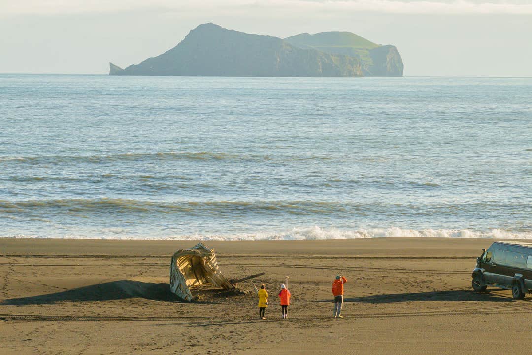
On Landeyjasandur Black Sand Beach, your guide shows you how to operate the handheld GPS unit used to record the width and shape of the shoreline. Walking a set profile line across the black sand, with the Westman Islands visible offshore on clear days, you log a data point every few steps while your guide explains how wind, waves, and glacial runoff reshape this coast.
The walk passes close to the weathered wreck of a Danish supply ship that ran aground on this shore roughly a century ago. It's now half buried in sand that shifts with every storm. Your guide points out how much of the hull shows on the day of your visit, a simple but telling measure of how the beach is changing.
Your specialist then compares the fresh readings to the Geopark's earlier surveys on the spot, showing whether the beach is gaining or losing sand since the last visit. Because the research group shares this dataset with Iceland's Meteorological Office and international climate researchers, your short walk doubles as a contribution to long-term coastal science.
Expect to be outdoors the entire time, so dress for South Iceland's coastal weather. The exact start time is set closer to the date based on the tide, since accurate measurements depend on the state of the shoreline, and the experience wraps up back at Landeyjahofn.
Reserve your spot on this citizen science coastal mapping experience at Landeyjasandur and see Iceland's coastline the way a working geoscientist does. Check availability now by choosing a date.


