


Description
Summary
Description
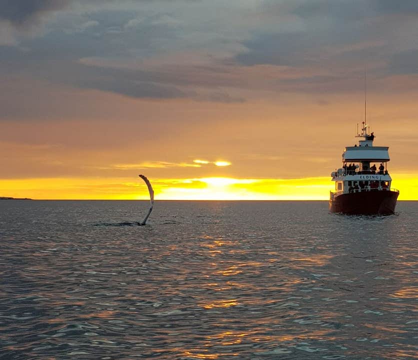
Witness the whales, dolphins, porpoises and seabirds of Faxaflói Bay in the most exciting way possible: beneath the Midnight Sun. This tour from Reykjavík should not be missed by those who love wildlife and nature.
You will start this nighttime adventure at Reykjavík’s Old Harbour, where your whale watch boat will be awaiting you. You will board, but if you are early, can explore a floating museum first, which is home to several interactive exhibitions on the great creatures of Iceland’s seas.
As soon as you set out, you will get fantastic views of the city and the surrounding nature; you will see Mount Esja, the Reykjanes Peninsula and the Whale Fjord, Hvalfjörður. In very clear weather, you’ll also be able to see all the way to the Snæfellsnes Peninsula. While all of these sites are beautiful throughout the year, they are even more special when beneath the midnight sun, which paints the sky vivid oranges and pinks.
Faxaflói Bay has a wealth of life, which peaks in the summer. Both Humpback and Minke Whales use the waters as feeding grounds, and White-Beaked Dolphins and Harbour Porpoises are year-round residents. Puffins bob on the surface of the water, amongst many other species of seabird, while Basking Sharks are, on occasion, seen cruising beneath.
You’ll spend three hours marvelling over this spectacular wealth of wildlife. Even in summer, it can get a little chilly on the seas, but worry not. You can borrow overalls, there is an indoor saloon, and a cafe at which you can warm up with a hot drink or an alcoholic one.
If, by any chance, you don’t see a whale or dolphin, you will be able to join another whale-watch for free until you do.
Marvel over the animals of Faxaflói Bay, under the midnight sun. Check availability by choosing a date.


