


Description
Summary
Description
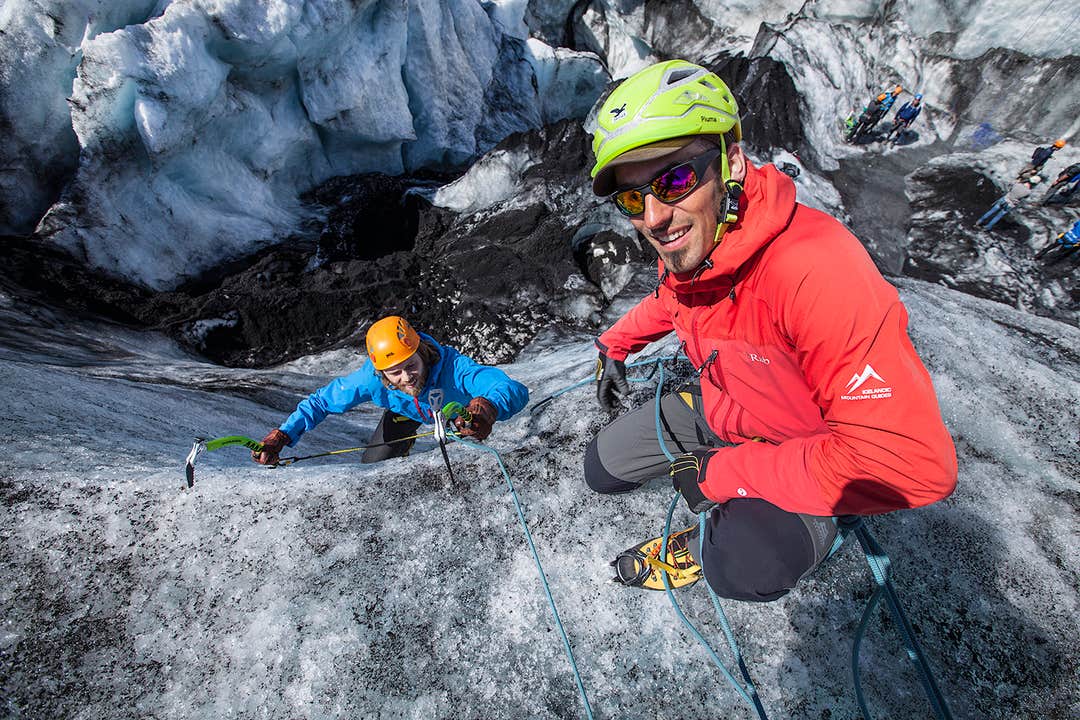
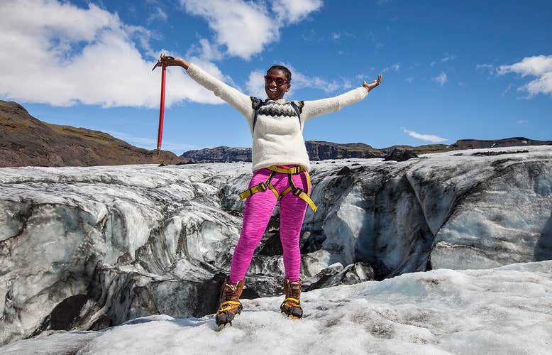
Join this exciting glacier walk with an introduction to ice climbing on the breathtaking Sólheimajökull ice cap, an outlet glacier of Mýrdalsjökull. If you're a travelling daredevil looking for adventure in pristine natural surroundings, this is the tour for you.
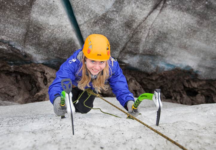
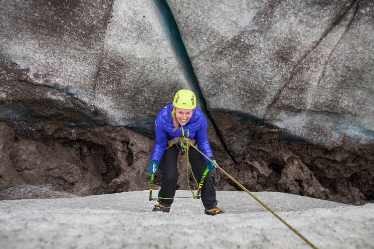
You will meet your guide at the parking lot of the glacier, where they will prepare you for the day. You will be fitted with ice crampons, harnesses, ice axes and helmets and receive all the necessary safety briefings, before lacing up your boots and beginning your ascent.
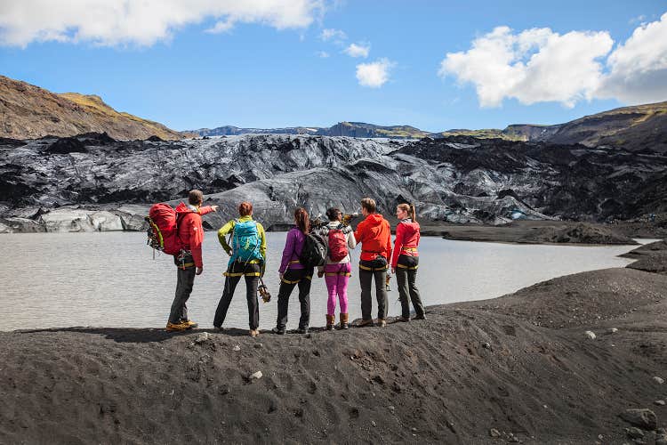
When everyone is ready, the group will take a short hike to the roots of the glacier. There you will put the crampons on and the guide will teach you the proper use of your glacier gear. You will then step on the ice and into a wonderland of deep crevasses, narrow ridges and glistening ice sculptures.
Your knowledgeable guide will lead you through this wonderland while telling you all about the history and geology of these disappearing giants.
The guide will then take you to a wall of ice or a sinkhole suitable for ice climbing. As this is an introduction to ice climbing and no technical skills are needed, the guide will make sure everyone gets to try a climb that is suitable for their skill level.
Since this is a small group experience with a ratio of six hikers per guide, everyone has their chance to shine. Don't forget to bring your camera, as you will want to bring proof of your daringness back home with you.
After spending about three hours on the ice; hiking, climbing and enjoying the magnificent scenery, you will head back down from the glacier, take off the crampons and make your way back to the parking lot where the tour ends.
Don't miss out on this incredible experience in the land of ice and fire, walking up a glacier and trying your skills at ice climbing. Check availability by choosing a date.