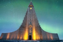


Description
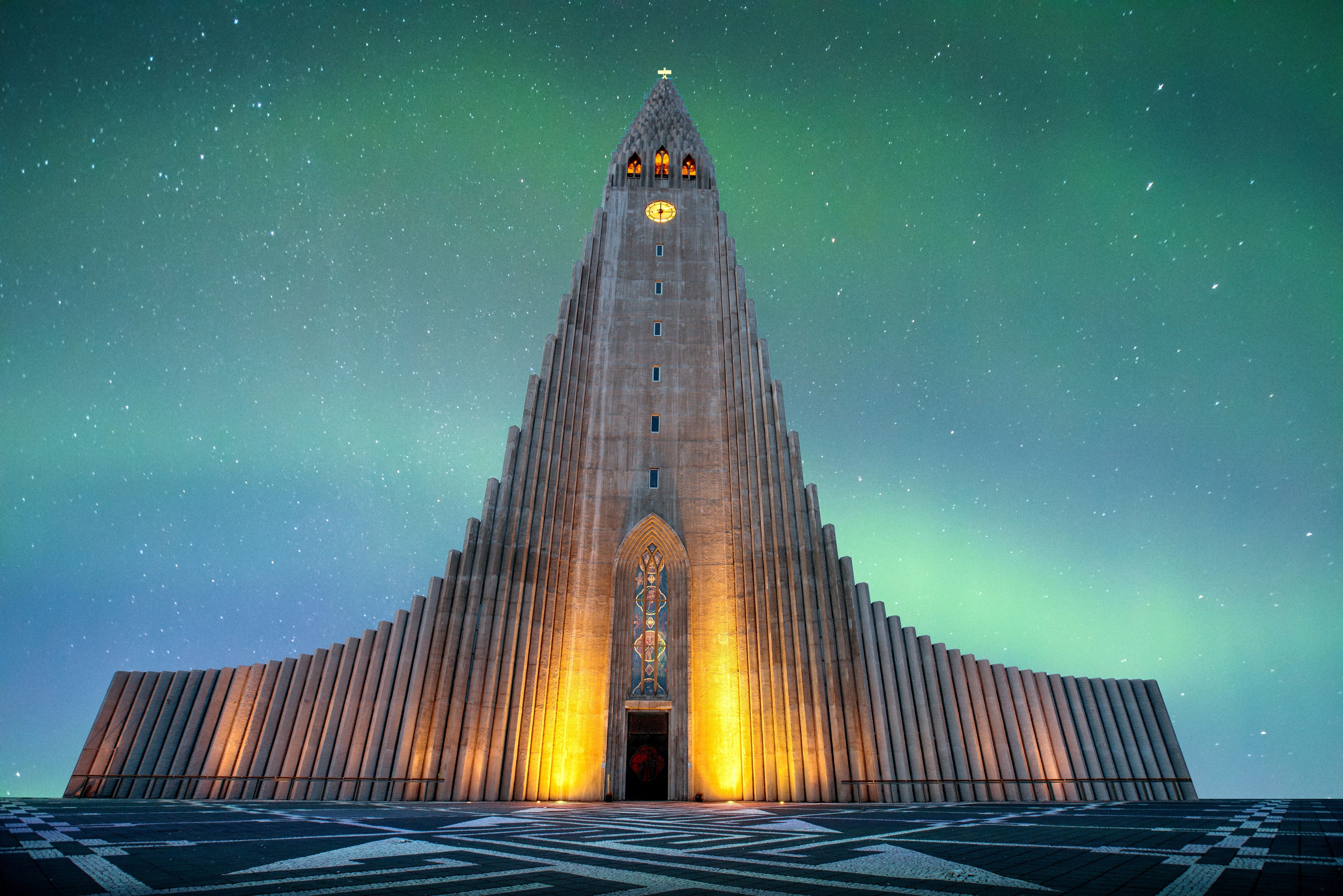
Summary
Description
Discover the story of a disappearing glacier on this immersive glacier mapping adventure in Tindfjallajokull, one of Iceland’s most remote and awe-inspiring ice caps. Perfect for curious travelers, this unique 8-hour tour lets you help collect real scientific data and witness climate change in action, combining adventure with purpose.
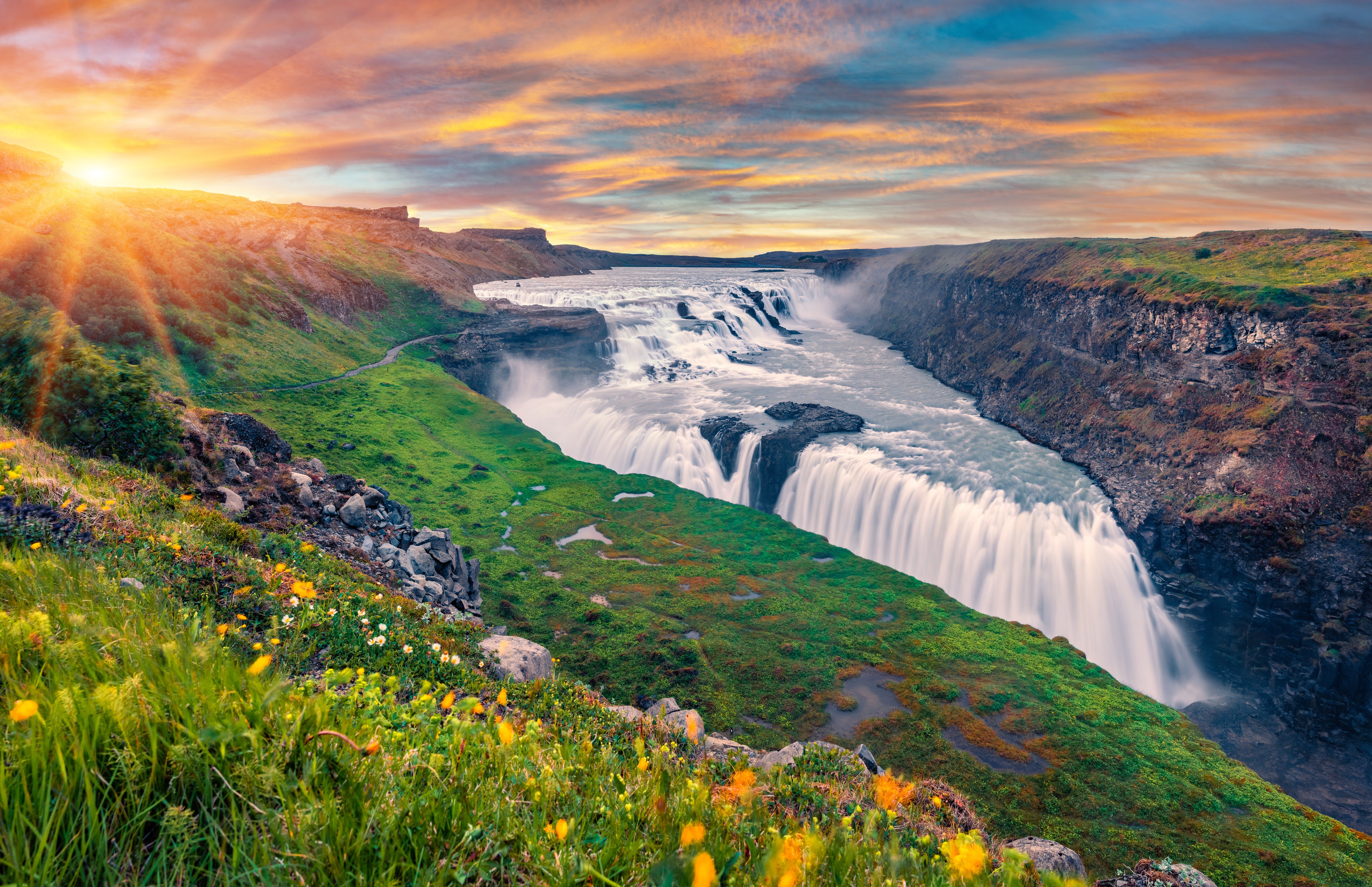
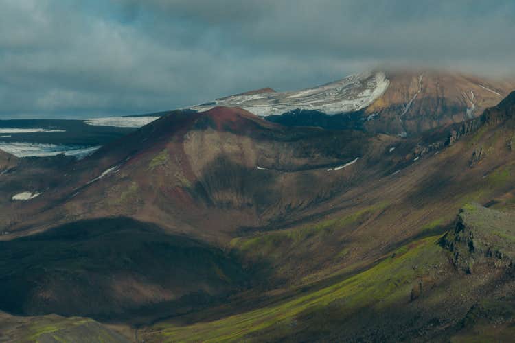
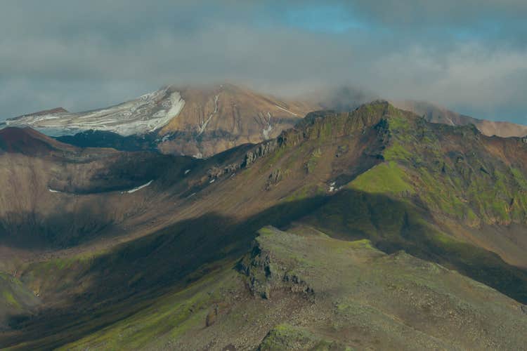
Glaciers across Iceland are melting, and Tindfjallajokull is no exception. As the smallest glacier in the country, this ancient ice cap is disappearing fast. Covering just 7.3 square miles (19 square kilometers), it lies atop an old volcano and is surrounded by the jagged peaks of the Tindfjoll Mountains.
Its name means “the peak mountain glacier,” and soon, the peaks may be all that remain. Visiting now means you’ll see this incredible landscape before it changes forever.
Your glacier mapping journey begins in the town of Hvolsvollur, where you'll meet your guide for a short briefing on the day ahead. They'll walk you through what to expect and make sure you’re fully equipped for the adventure.
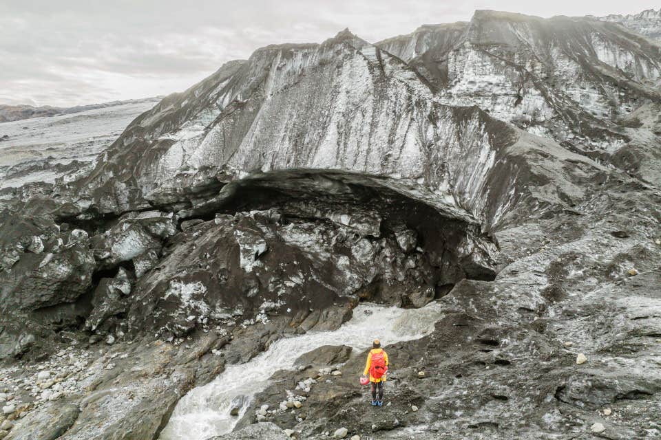
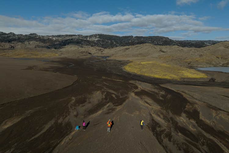
Then, you will hop aboard a 4×4 vehicle specially designed for the Icelandic Highlands. A bumpy but beautiful ride brings you into the wilderness, far from the tourist trail. From there, you’ll take on a moderately challenging 1.5-hour hike to the glacier’s edge within Katla Geopark, passing through lava fields and sweeping views of the Icelandic Highlands along the way.
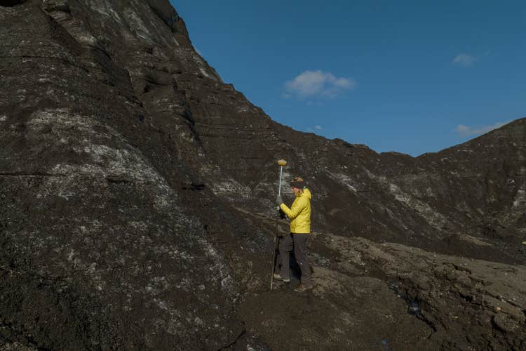
Once you reach the edge of the glacier, the mission begins. Working alongside a trained guide, you’ll help measure the glacier’s retreat and document its condition.
You'll learn to use GPS tools and mapping methods to track changes in the ice surface and help photograph notable formations, crevasses (deep cracks in glacial ice), and meltwater streams. By collecting accurate, on-site data, you're actively supporting climate research and playing a part in protecting Iceland’s glacial heritage.
Midway through the day, pause for a packed lunch at the base of the glacier, surrounded by silence, peaks, and shimmering ice. This is one of the most amazing places you could ever stop for lunch.
After a hearty meal and completing your fieldwork on this glacier mapping adventure, you will hike back down to the jump-off area, where your driver will take you back to Hvolsvollur in the 4x4.
Your role as a citizen scientist doesn’t end here. Since this expedition is part of the Katla Geopark initiative, your collected data will be processed, analyzed, and used to support ongoing glaciology studies. Your name will be officially included in the Katla Geopark’s published report, and you’ll receive a Citizen Scientist certificate as recognition for your efforts.
You’ll also be emailed the results of your work, as well as future updates on the glacier’s condition. It’s like staying in touch with a place you helped document, a reminder that you became part of something bigger. If you feel inspired, you can check out more citizen science programs supported by the geopark for another time.
Be part of a once-in-a-lifetime adventure that leaves a lasting mark on Iceland’s scientific research with this glacier mapping adventure in Tindfjallajokull. Check availability now by choosing a date.