After staying in Raufarhöfn village for 2 nights, we said our goodbyes and visited two more places in North-East Iceland before continuing our journey around Iceland.
We drove south on the Melrakkaslétta peninsula and headed towards Rauðanes cape.
Rauðanes cape is located in Þistilfjörður fjord, midway between Raufarhöfn village and Þórshöfn village. It is dotted with beautiful and strange rock formations and sea stacks, hidden beaches, and big caves.
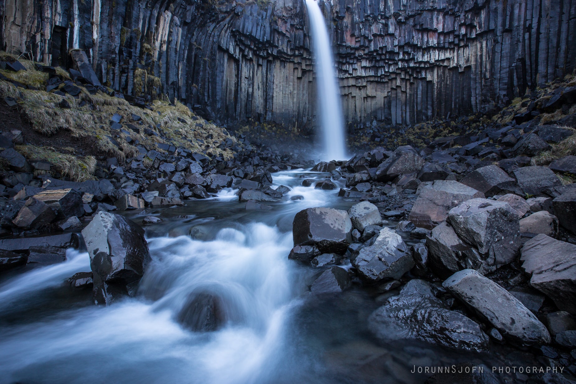
Top photo: admiring the sea stacks on the Rauðanes peninsula

Rauðanes cape
The hike on Rauðanes Cape is a 7 km anticlockwise circle, an easy hike, which takes approximately 2.5 hours to complete, so it's better to put on your hiking boots.
And bring some water with you, as there is no fresh water on the cape.
The trail is marked by numbers 1-16. A map by the parking lot shows the names of the places marked on the trail.
If you don't have a map of Rauðanes Cape, it's best to take a photo of the map and refer to it on the hike.

Rauðanes cape
Rauðanes means Point Red, and it is one of the pearls of Icelandic nature.
The rock formations, caves, beautiful basalt, and volcanic arches are endless; it is like hiking in a fairyland.
The sea stacks are different from what I have seen, as they are not edged, but oval in shape. It's like Rudolf Steiner created them, if you are familiar with his theory of no hard corners.
The best-known sea stacks on Rauðanes Cape are located on the north side of the cape. They are called Stakkar and are a pair of iconic sea stacks.

Rauðanes cape - Gatastakkur
The sea stack in my photo is called Gatastakkur, a beautiful lava formation that, when seen from another angle, seems to lean backward.
Myriads of puffins nest in the sea stacks, and if you look closely, you can see that the rock in my photo below is filled with puffin holes.
The bird life on Rauðanes is rich, and one can hear the noisy squeak of the nesting birds all over the cape.

Rauðanes cape
In one part of Rauðanes, there is a unique rock formation called Gluggur, or Peekhole. It is a huge hole, as you can see in my photo below.
The surf has created a cave here, but the roof of the cave must have collapsed, leaving only a stone bridge connecting the rims. It is possible to walk on the stone bridge, but it is not for those with a fear of heights.
It is surreal looking at this phenomenon; it really plays a trick on one's eyes and is a very good photo opportunity.

Hiking on Gluggur
After a 2.5-hour hike on this beautiful fairyland cape, we returned to the parking lot.
The last part of the hike leaves you walking on the road for a while.
Don't forget to write your name in the guestbook by the parking lot when you return from your hike :)

The guestbook on Rauðanes Cape
We now left the cape and made our last stop in North-East Iceland, which was at the Study Centre on Leader-wethers, a very interesting study centre on a unique breed of Icelandic sheep, which serve as the leaders of the horde.
To reach Rauðanes Cape, turn from road 85 onto a gravel road leading to the farm Vellir. There is a parking lot 1.5 km along this road.
Here you can see the location of Rauðanes on the map. GPS: 66°14'42.0"N 15°42'38.5"W.

I have added distances from Reykjavík and from the closest village, Raufarhöfn, and the Arctic Henge, about which I have added another travel blog.
To reach this area of Iceland, you can rent a car in Reykjavík and drive to this area in a couple of days.
You can either drive the ring road clockwise or anticlockwise. When you have reached the Eastfjords, there are myriad activities and tours to join.
Have a lovely time in East Iceland :)