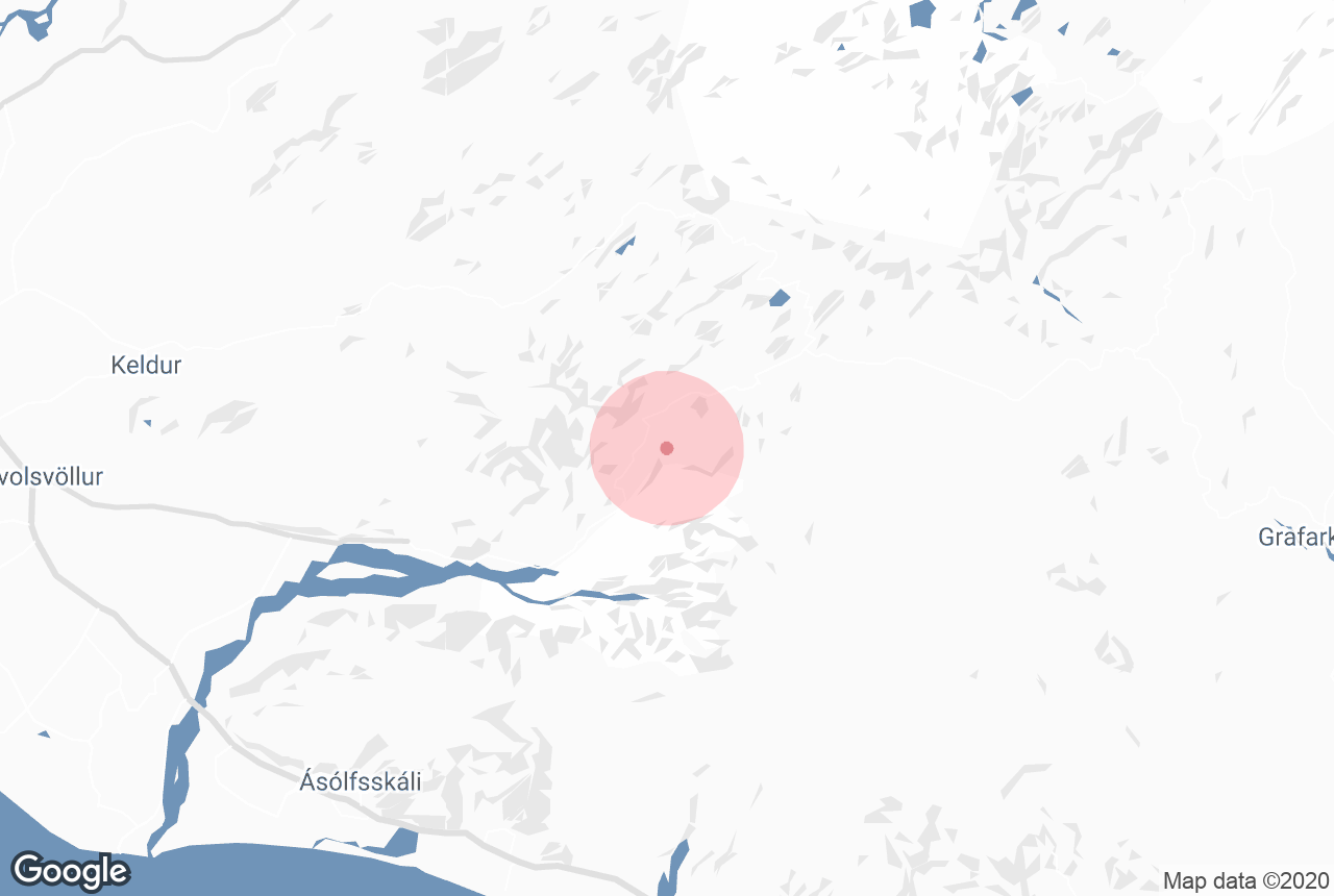

Markarfljótsgljúfur is a canyon in Iceland's Southern Highlands, west of Hvolsvöllur.
Photo of Wikimedia, Creative Commons, Mickaël Delcey. No edits made.
저희의 콘텐츠를 신뢰할 수 있는 이유
가이드투아이슬란드는 아이슬란드에서 가장 믿을 수 있는 여행 플랫폼으로, 매년 수백만 명의 여행객이 저희와 함께 아이슬란드를 방문합니다. 저희의 모든 콘텐츠는 아이슬란드를 누구보다 잘 아는 현지 전문가들이 작성하고 검토하므로, 정확하고 신뢰할 수 있는 최신 여행 정보만 제공합니다.
Explore this area while on a self drive tour in Iceland.
Markarfljótsgljúfur Canyon is less known than many of its counterparts across the country, but the visitor numbers do little to diminish just how stunning this natural gorge truly is. One of the major reasons for its lack of visitors is its location in the Icelandic Highlands.
Markarfljótsgljúfur is not amongst the larger canyons in Iceland, though it is deep, delving down 200 m (656 ft). The canyon's most accessible area stretches for roughly 4 km (1,5 mi) Those who are interested in hiking the popular route Laugavegur—from Landmannalaugar to Þórsmörk, or vice versa—will visit Markarfljótsgljúfur on the way.
Another method of visiting the canyon would be driving Syðri Fjallabak, entering the highland road at Emstruleið F261 and following it to Fljótshlíð in South Iceland. Be warned that Emstruleið F261 is a challenging, mountainous road and will require a 4WD.
In regards to the canyon's origin, it begins with a historic eruption of the infamous volcano, Katla, approximately 2000 years ago. The volcano itself is buried under the enormous Mýrdalsjökull glacier, and thus, the eruption sparked great floodwaters that spilt into the surrounding areas. Even today, it is still possible to see the glacial river, Markarfljót, flowing through the canyon.


