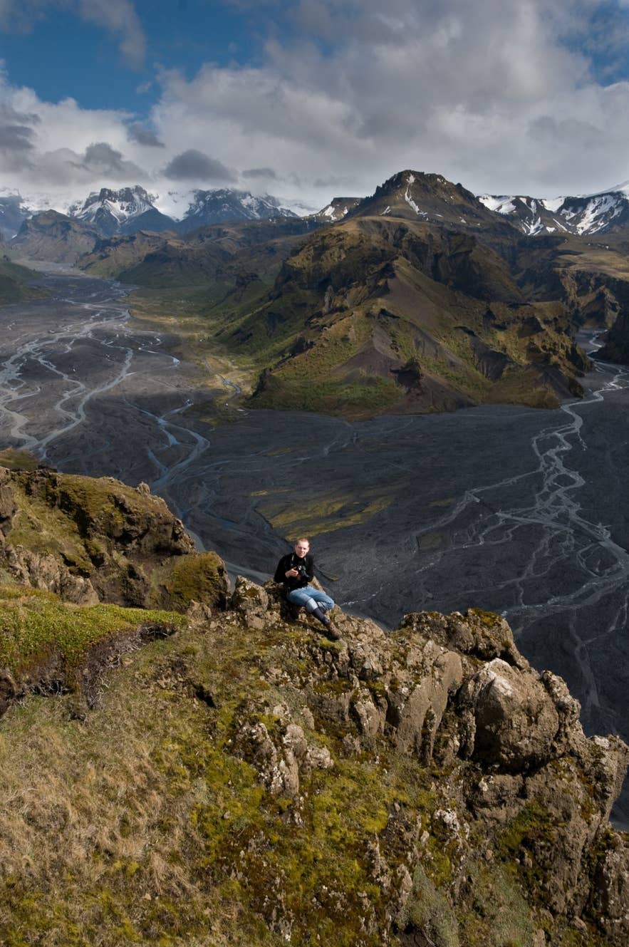
Útigönguhöfði from Valahnúksból. Photo: David Karnå, CC BY 3.0
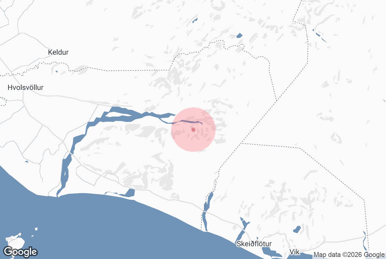
Útigönguhöfði is an 805-metre mountain in Goðaland, the wooded area on the south bank of the Krossá river directly opposite Þórsmörk in South Iceland.
It rises straight above the Básar hut, with the Hvannárgil canyon on one side and the Krossá gravel plain on the other, and it is the most demanding of the marked day hikes that start at Básar.
The summit is a surprisingly flat, moss-covered plateau that looks across the whole Þórsmörk valley to the glaciers Eyjafjallajökull and Mýrdalsjökull. The Icelandic name is Útigönguhöfði; höfði means a headland or steep-sided promontory.
Key Takeaways About Útigönguhöfði
- 805 m volcanic peak in Goðaland, directly above the Básar hut across the Krossá from Þórsmörk
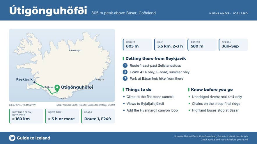
- Steepest marked day hike from Básar: about 5.5 km return, 580 m ascent, 2–3 hours, chains on the final ridge
- Reach Básar by highland bus in summer or by real 4x4 on F249 (unbridged rivers; no small rental cars)
- Summit season June to September; Básar hut open May to end of October
- No fee; facilities (camping, toilets, showers, warden) at Básar, run by Útivist
Why visit Útigönguhöfði
Útigönguhöfði mountain is part of the Katla UNESCO Global Geopark and is a steep, eroded volcanic mountain on the northern flank of Eyjafjallajökull; its upper slopes are a mix of jagged rock spires and loose gravel rather than smooth grass.
From the top, at 805 m, you look down on the braided Krossá, across to Valahnúkur and the Þórsmörk huts, up to Mýrdalsjökull and the Katla caldera, and along the Hrunagil and Hvannárgil canyons.
The hike from Básar is short but steep: roughly 5.5 km return with about 580 m of ascent, taking most people 2 to 3 hours up and down. The path starts in birch woodland with red trail markers, climbs onto an open ridge and finishes on a very steep, crumbly section where fixed chains and ropes help with balance.
Hikers with time can continue from the summit towards Heljarkambur and come back down through Hvannárgil canyon, a full day of 7 to 8 hours and roughly 11 km. The canyon walk passes glacial streams, large boulders and a rock face that locals call the troll.
Útigönguhöfði stands beside the final descent of the Fimmvörðuháls trail from Morinsheiði to Básar, and hikers coming over the pass from Skógar sometimes add it as a side summit at the end of the trek.
How to get to Útigönguhöfði
The trailhead for Útigönguhöfði is the Básar hut in Goðaland, which sits at about 260 m above sea level and 1.7 km north-west of the summit. Básar is reached by Road 249, which leaves Route 1 east of the Markarfljót bridge near Seljalandsfoss and becomes the F249 mountain road.
The last 30 km are an F-road with several unbridged glacial rivers, so it is open only to proper 4x4 vehicles; small rental cars are not permitted, and even 4x4 drivers are told not to attempt the Krossá river itself.
From Reykjavík it is about 130 km to the start of Road 249 near Seljalandsfoss, so roughly 160 km in all, and the drive to Básar normally takes around 3 hours or more including the river crossings; Hvolsvöllur, about 20 km west of Seljalandsfoss, is the nearest town with services.
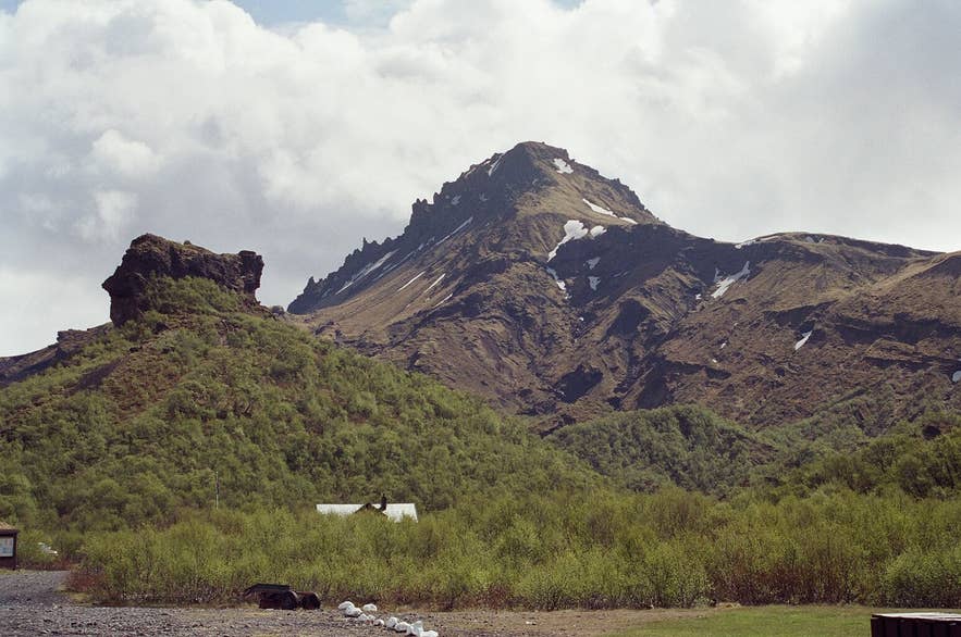
Útigönguhöfði above Básar. Photo: Reykholt, CC BY-SA 4.0
Most visitors use the highland buses.
In summer, scheduled Þórsmörk buses run daily from Reykjavík and from stops at the Lava Centre in Hvolsvöllur and Brú Base on Road 249 about 5 km past Seljalandsfoss, where you can leave a normal car and ride the last stretch on a modified bus.
Básar is one of the regular stops. The hut has parking for F-road vehicles, and the hike begins directly from the hut; no further walking from a car park is needed.
Best time to visit
The Básar hut is open from 1 May to 31 October, but from October to June the F249 is passable only for modified super jeeps, and the practical hiking season for the summit is June to September.
In June snow can still sit on the upper ridge and in Hvannárgil; July and August give the longest days and the best footing; September has fewer people and autumn colours in the birch woods.
Outside the summer season the F249 is only passable by modified super jeeps, and the mountain should not be attempted in snow or ice.
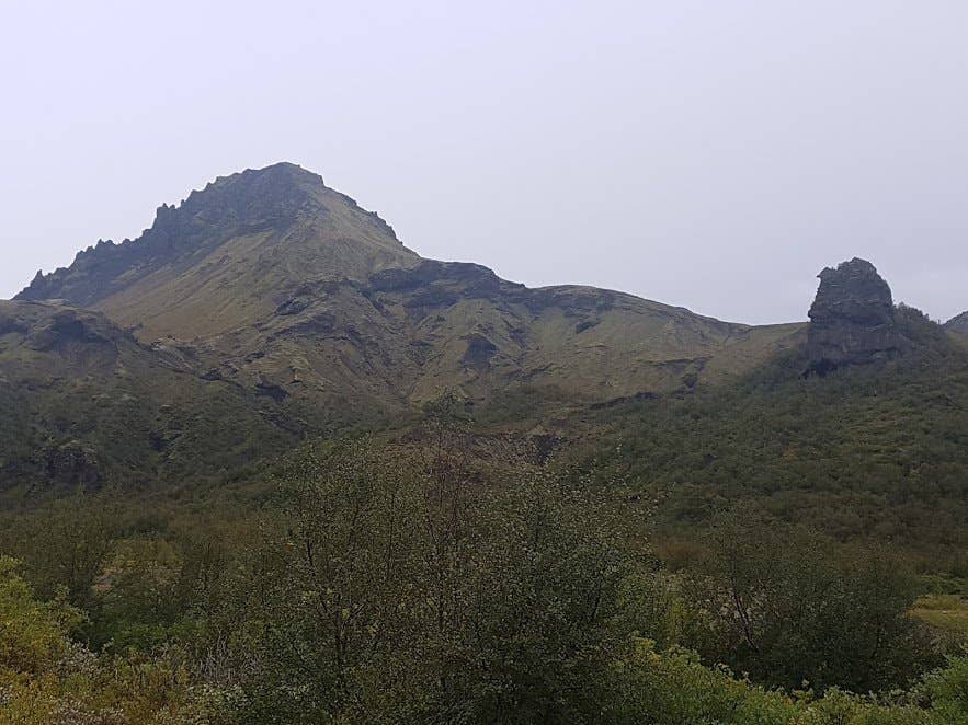
Útigönguhöfði from the Goðaland woods. Photo: Berserkur, CC BY-SA 4.0
Safety and practical tips
- The final section is very steep with sliding gravel. Good boots, poles and a head for heights are needed; descend the same way you came up unless you know the Hvannárgil route.
- Chains and ropes are fixed on the upper part; use them, and keep distance from other hikers so loose stones are not kicked down.
- Do not approach the summit from the Fimmvörðuháls side beyond Morinsheiði unless you are confident with route finding; markers are sparse there.
- Weather changes fast in Þórsmörk and the summit is exposed. Check vedur.is and safetravel.is before leaving Básar, and carry a windproof layer even in July.
- Facilities are at Básar hut, run by the hiking association Útivist: sleeping-bag accommodation, campsite, toilets, showers for a fee and a warden in summer. There is no shop; bring food from Hvolsvöllur or Reykjavík.
- There is no fee to climb the mountain. Keep to marked paths; the birch woodland of Þórsmörk and Goðaland has been protected from grazing and restored since the 1920s.
Nearby attractions
- Básar, Þórsmörk – the hut and trailhead, about 1.7 km
- Þórsmörk – the valley across the Krossá, about 2 km
- Réttarfell – about 2.1 km
- Valahnúkur – about 4.1 km
- Stakkholtsgjá – about 5.0 km
- Fimmvörðuháls – about 2.6 km
- Gígjökull – about 8.1 km
Tours that visit Útigönguhöfði
- Ultimate 6-Day Laugavegur & Fimmvorduhals Hiking Tour from Reykjavik with Meals and Mountain Huts – a hut-to-hut trek that ends in Þórsmörk and Goðaland; the climb up Útigönguhöfði is offered as the final challenge of the trip.
