Informationen über: Hengladalsá
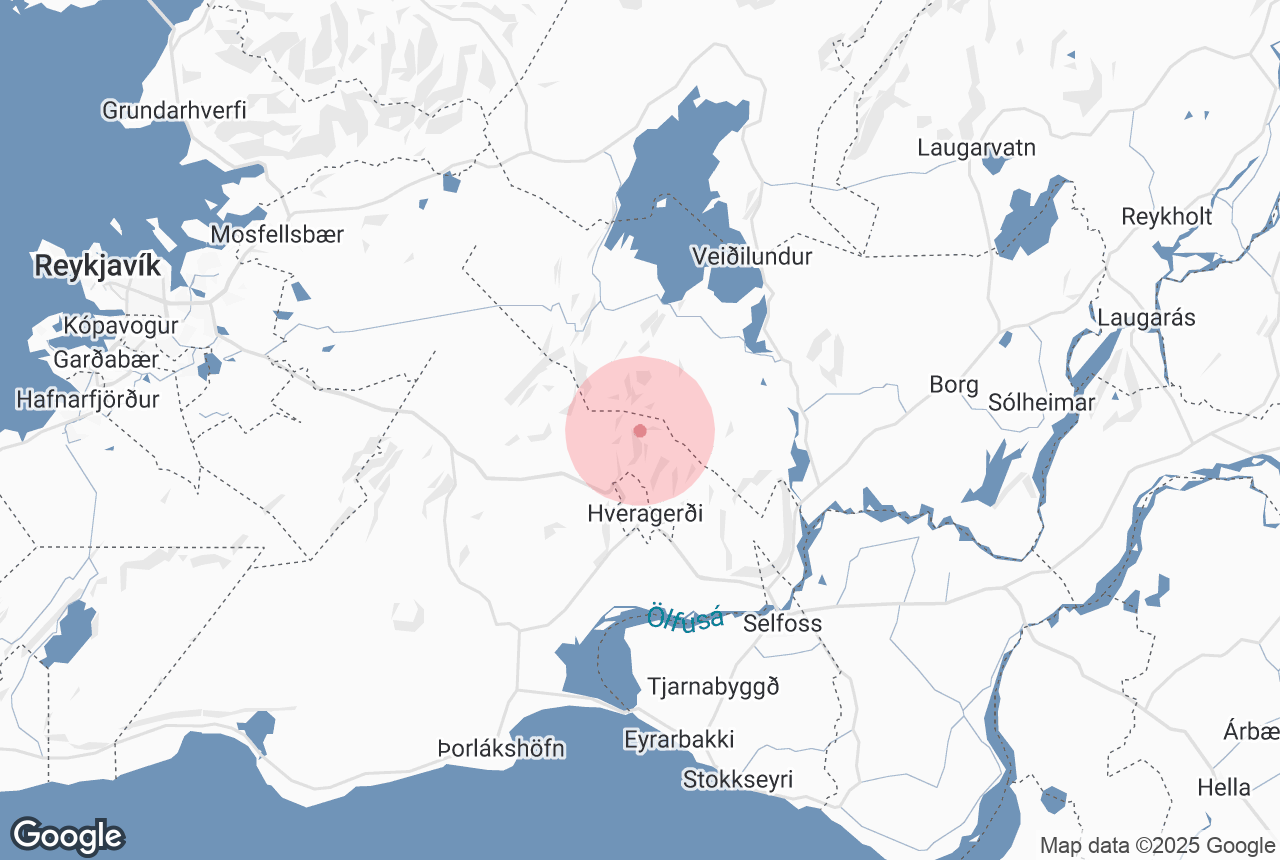
Hengladalsa is a river in Southwest Iceland.
The river has its source by the Hengill area, from valleys Innstidalur, Middalur and Fremstidalur, collectively called the Hengladalir, and it falls into Olfus in Reykjadalsa river.
Dienstleistungen in der Nähe: Hengladalsá
Attraktionen in der Umgebung: Hengladalsá
Reykjadalur
Reykjadalur, the Valley of Steam, is a beautiful geothermal region close to the southern town Hveragerði. It is a popular place for hiking and h...
Heiðmörk
Wikimedia. Creative Commons. Credit: TommyZ Heiðmörk is a conservation area on the outskirts of Reykjavík, popular amongst locals and...
Þórsmörk
Nestled between the glaciers Eyjafjallajökull, Mýrdalsjökull, and Tindfjallajökull is Þórsmörk, the Valley o...
Hveragerði
Hveragerði is a town and municipality in the southwest of Iceland. It is often nicknamed ‘the Earthquake Town’ or ‘the Hot Spr...
Nesjavallavirkjun
Credit: Wikimedia, Creative Commons. Photo by Gretar Ivarsson. Nesjavallavirkjun is a geothermal power station in southwestern Iceland, operated by O...
Nesjavellir
Nesjavellir is a geothermal area in southwest Iceland. It is most famous for being home to the Nesjavellir geothermal power station, the s...
Hellisheiði
Wikimedia, Creative Commons, Photo Credit: ThinkGeoEnergy Hellisheiði is a lava plateau east of Reykavík, approximately 380 metres (1,247 ...
Ingólfsfjall
Ingólfsfjall is a 551 metre (1807 feet) tall tuff mountain, named after the country’s first official settler, Ingólfur Arnarson,...
Ringstraße
Iceland has one main road: Route 1, or the Icelandic Ring Road. This ring road goes all around the island and is 1,332 kilometres long (828 miles), ...
The Geothermal Energy Exhibition
Photo from the Geothermal Exhibition The Geothermal Energy Exhibition is an interactive museum on Iceland’s volcanic processes at Hellisheið...
Hellisheiðarvirkjun
The Hellisheidi Power Station is the largest geothermal powerstation in Iceland and the second-largest in the world. The power station is located by...
Kristnitökuhraun
Kristnitökuhraun is a lava field to the west of Hellisheiði plateau in southwest Iceland. The lava field formed during an eruption in the ye...
Golden Circle
The Golden Circle is a 300 kilometre (186 mile) route to the three most popular natural attractions in Iceland: the Geysir Geothermal Area, ...
Kerið
Kerið is a volcanic crater lake in the Grímsnes area of South Iceland. It is close to the three major sites that comprise Iceland’s...
Þrengsli und Þrengslavegur
Þrengslavegur is a road in Iceland that connects Route 1 to the towns along the southern coastline, whereas Þrengsli is a picturesque...
Raufarhólshellir
Photo from The Lava Tunnel | Raufarholshellir Caving Tour Raufarhólshellir is the fourth longest lava tube in Iceland at 1,360 metres (4,...
Selfoss (Stadt)
Wikimedia, Creative Commons, Photo Credit: Christian Bickel Selfoss is a town of about 6,512 people in South Iceland, by the banks of the river Olfus...
Hengill
Hengill is an enormous mountain in south-west Iceland, covering an area of about 100 square kilometres. It is a vital source of energy for south Ice...
Þingvallavatn
Þingvallavatn (anglicised to Thingvallavatn, ‘the Lake of the Fields of Parliament’) is a rift valley lake located roughly forty-m...
Lyngdalsheiði
Credit: Wikimedia, Creative Commons. Photo by Christian Bickel. Lyngdalsheiði is a heathland in South Iceland, known for its numerous caves. ...