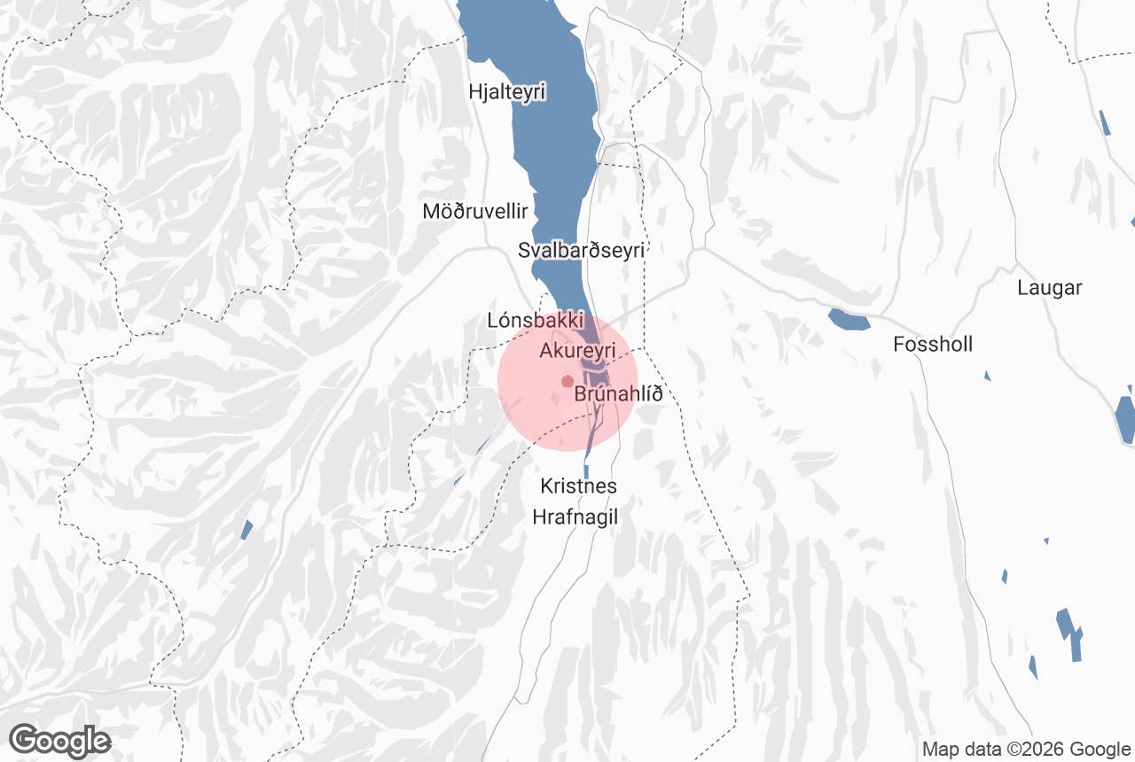
Naustaborgir is a free public outdoor recreation area on the southern edge of Akureyri in North Iceland, built around low rock outcrops, a restored wetland, and a small network of short, well-marked walking paths. It is the easiest place in town to get into nature on foot, with even the longest loop taking well under an hour. Read on for the trailhead, the trail lengths, and what to look for while you are there.
The area sits directly above the Naustahverfi neighborhood in Akureyri, about 2 miles (3.2 kilometers) from the town center and roughly 242 miles (389 kilometers) from Reykjavik, a drive of close to five hours along the Ring Road. The name is spelled Naustaborgir in Icelandic and pairs naust, the word for a boathouse, with borgir, used here for the crag-like rocks that break through the slope above the shore of Eyjafjordur.
Almost everyone arrives by car and parks at the Ljomatun trailhead at the top of the neighborhood, though walking or cycling up from central Akureyri is straightforward. If you are exploring the north under your own steam, a rental car in Akureyri is the simplest way to fit Naustaborgir into a day. Keep reading for the trails, the birdlife, the seasons, and what else is nearby.
Why You Can Trust Our Content
Guide to Iceland is the most trusted travel platform in Iceland, helping millions of visitors each year. All our content is written and reviewed by local experts who are deeply familiar with Iceland. You can count on us for accurate, up-to-date, and trustworthy travel advice.
Key Takeaways About Naustaborgir
- Naustaborgir is a municipal outdoor area on the southern edge of Akureyri, North Iceland.
- Entry is free, and the area is open around the clock, all year.
- Marked paths run from roughly 0.25 to 1.5 miles (0.4 to 2.4 kilometers), and the longest takes about 40 minutes at an easy pace.
- The terrain is flat to gently rolling, on gravel paths and short boardwalk sections, so it suits most fitness levels.
- Park at the Ljomatun trailhead at the top of the Naustahverfi neighborhood.
- A birdwatching hide overlooks the restored pond, which draws ducks and waders from spring into late summer.
- The main paths are lit and cleared of snow through the winter.
- There are no toilets, cafes, or visitor facilities on site.
What Makes Naustaborgir Worth a Walk
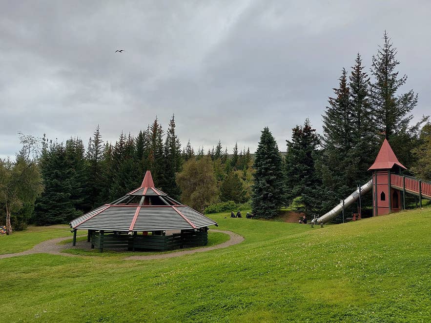
The rocky knolls that give the area its name push up out of otherwise soft, grassy ground, and the paths thread between them. The two largest are Ytri-borg and Sydri-borg, the latter reaching about 427 feet (130 meters) above sea level. The wetland at the center was restored by the town, the pond enlarged, and a timber hide built at the water's edge for birdwatchers. Benches are dotted along the route, and the whole area connects on foot to Kjarnaskogur Forest just to the south, which is why locals often treat the two as one long walk.
How to Get to Naustaborgir
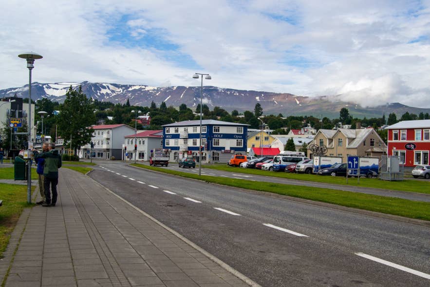 Drive south out of central Akureyri on Drottningarbraut and follow Naustabraut up into the Naustahverfi neighborhood to the marked parking area at Ljomatun. It is a drive of about 2 miles (3.2 kilometers) from Akureyrarkirkja, and parking is free. No part of the approach requires a four-wheel drive, and the road is maintained in winter.
Walking or cycling from the town center takes roughly 40 minutes to an hour along the shoreline path and then uphill through the neighborhood. Akureyri's city buses, run by Straetisvagnar Akureyrar, are free to ride and serve Naustahverfi, leaving a short walk to the trailhead; check current timetables locally, as the national Straeto network does not cover these routes.
Travelers coming from the capital can either drive the Ring Road in about five hours or take one of the short flights from Reykjavik to Akureyri and pick up a car on arrival. Self-drive tours through North Iceland leave you free to add a stop like this one, which organized day tours rarely include.
Naustaborgir Hiking Trails, Lengths, and Difficulty
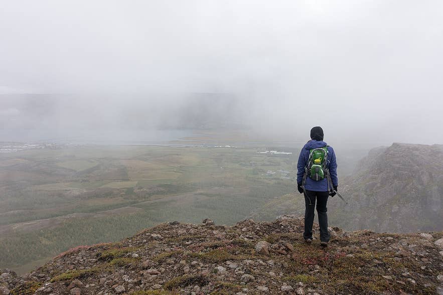 The path network is modest and signposted at the trailhead. Individual marked routes run from about 0.25 to 1.5 miles (0.4 to 2.4 kilometers), and the longest circuit takes most walkers around 40 minutes. You can link several together for a walk of an hour or more, but no single trail here is a half-day outing.
Surfaces are compacted gravel with boardwalk over the wettest ground, and the elevation change is slight. Sturdy shoes are enough in summer, while spikes help on icy stretches in winter, and strollers manage the main loop comfortably in dry conditions. For something longer, carry on into Kjarnaskogur or see our roundup of the most popular hiking trails in Iceland.
Top 5 Things to Do at Naustaborgir
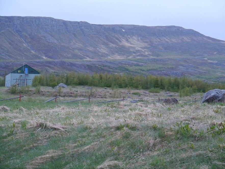 The area rewards a slow walk rather than a checklist, but these five are what most people come for.
5. Run or Cycle the Gravel Paths
The flat, well-drained surface and the loop layout make Naustaborgir a favorite with Akureyri runners and families on bikes. Lighting on the main paths means the circuit stays usable through the dark months.
4. Climb Sydri-borg for the Fjord View
Sydri-borg, the higher of the two main crags at roughly 427 feet (130 meters) above sea level, is a short walk up from the path and gives a clear line of sight down over the rooftops of Naustahverfi to Eyjafjordur and the mountains on the far shore.
3. Walk On into Kjarnaskogur Forest
Kjarnaskogur adjoins the area to the south and is one of Iceland's largest planted woodlands, with picnic areas, a playground, and far more trail distance. Combining the two makes a satisfying half-day on foot.
2. Watch Birds from the Hide
The timber hide above the restored pond is the reason many locals come. Expect ducks, geese, and waders through the nesting season, and read up on what you might see in our guide to birds in Iceland.
1. Walk the Main Loop Under the Midnight Sun
From late May to July the light barely leaves, and the pond and rocks hold a low golden glow long past midnight. Walking the loop at 11 PM in June, with the paths empty, is the single best thing Naustaborgir offers. Our guide to the midnight sun in Iceland explains how the season works.
Visiting Naustaborgir Through the Seasons
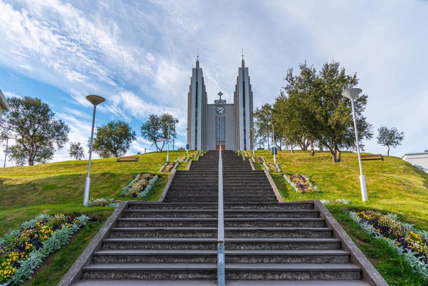 Summer is the fullest season here, with the wetland busy with birds, the scrub in leaf, and near-endless daylight. Fall brings low light, yellow birch, and far fewer people, and the ground is usually still dry and firm into October.
Winter keeps the area open and usable. The main paths are lit and cleared of snow, which makes this one of the few places near Akureyri you can walk safely after dark in December. Locals also ski the tracks once there is enough snow, and the slope above the town is dark enough on clear nights to watch for the northern lights. Check conditions on the Icelandic Met Office site before heading out, and see our Iceland in winter guide for wider seasonal planning. Spring is the muddiest stretch, particularly around the pond, and nesting birds mean dogs should be kept on a lead from May onward.
Attractions Near Naustaborgir
 Naustaborgir sits inside Akureyri, so nearly everything in town is within a 10-minute drive. Distances below are measured from the Ljomatun trailhead.
- Akureyri Botanical Gardens – 1.6 miles (2.5 kilometers)
- The Akureyri Museum – 1.6 miles (2.6 kilometers)
- Akureyrarkirkja – 2 miles (3.2 kilometers)
- Icelandic Aviation Museum – 2.4 miles (3.8 kilometers)
- Forest Lagoon – 3.1 miles (5 kilometers)
- Hlidarfjall Ski Area – 4.8 miles (7.7 kilometers)
- The Christmas House – 6.8 miles (11 kilometers)
For more ideas in and around town, see our list of the top things to do in Akureyri, the best cafes in Akureyri for a stop after your walk, and our roundup of must-see places in North Iceland.
Where to Stay Near Naustaborgir
There is no accommodation at Naustaborgir itself, and nothing needs to be: the trailhead is a few minutes from anywhere in town. Staying in the Naustahverfi or Hagahverfi neighborhoods puts you within walking distance, while hotels and guesthouses in the center are a short drive away and closer to restaurants and the harbor. Browse accommodation in Akureyri to compare options, and read our background piece on Akureyri, Iceland's capital of the north before you arrive.
Plan Your Visit to Naustaborgir
Naustaborgir is a small, honest, local place rather than a headline attraction, and it is better for it. Half an hour on the paths gives you birdlife, a fjord view, and a real sense of how close Akureyri sits to open country, at no cost and with no booking required.
Fit it in alongside the rest of North Iceland by picking up a rental car in Akureyri or booking one of our self-drive tours, which leave you free to stop wherever you like.