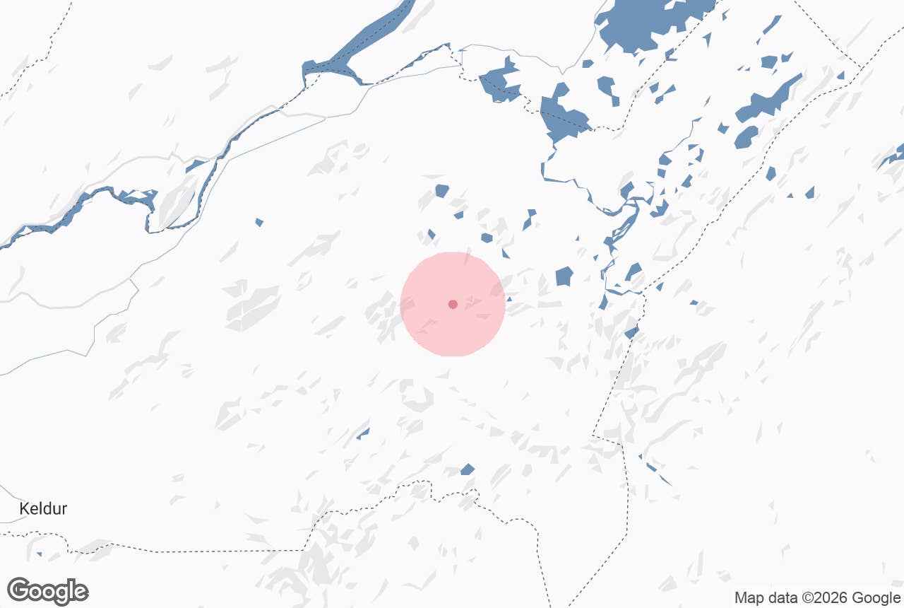
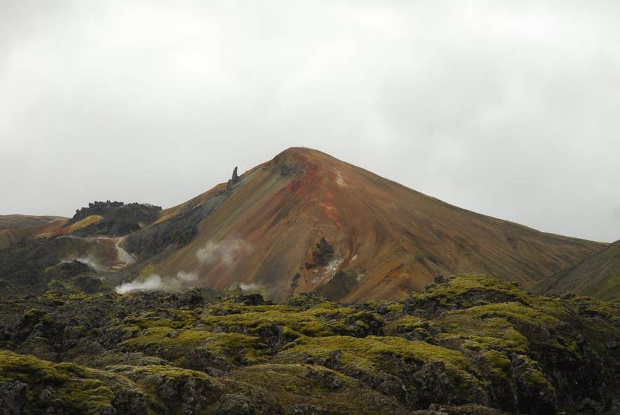
Brennisteinsalda above Laugahraun. Photo: Uwe Hömer, CC BY-SA 4.0
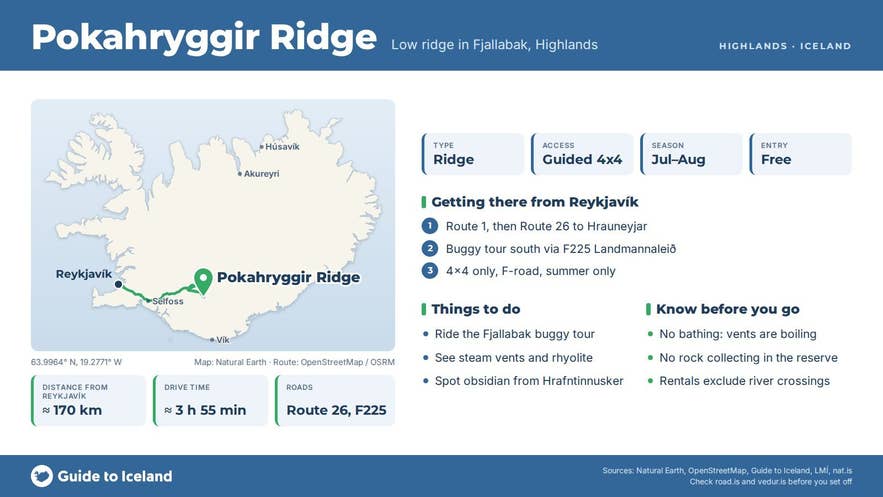
Pokahryggir ridge (Icelandic: Pokahryggur, "sack ridge", from poki, a sack) is a low ridge just north of the Reykjadalir geothermal area in the Fjallabak highlands of South Iceland. It lies between the Rauðufossafjöll mountains and the Hrafntinnusker obsidian field, roughly 10 kilometres west of Landmannalaugar, inside the Torfajökull volcanic system.
There is no road sign and no car park; Pokahryggir is a waypoint on a known jeep and buggy track that cuts south from Landmannaleið (F225) near Landmannahellir towards Reykjadalir and the Hrafntinnusker country, and it is best known to the guides and jeep drivers who use it.
Key Takeaways About Pokahryggur
- Low ridge just north of the Reykjadalir geothermal area in the Torfajökull volcanic system, about 10 km west of Landmannalaugar.
- Reached only by unmarked 4x4 track south of F225 near Landmannahellir; in practice visited on the guided buggy tour from Hrauneyjar.
- Steam vents, sulphur-stained rhyolite and black obsidian from the Hrafntinnusker area; no bathing and no collecting.
- Highland roads usually open in June and close with autumn snow; July–August temperatures 5–14°C.
- No facilities; nearest huts and toilets at Landmannalaugar and Landmannahellir.
Why visit Pokahryggir
The attraction is the landscape the ridge sits in rather than the ridge itself.
Reykjadalir ("steam valleys"), about 3 km south of Pokahryggir, is one of the many fumarole fields of the Torfajökull central volcano, which holds one of the two largest high-temperature geothermal areas in Iceland (about 150 square kilometres) and the largest area of rhyolite in the country.
Steam vents, warm streams and sulphur-stained ground sit among hills of pale rhyolite and dark hyaloclastite, and the ground is littered in places with black obsidian from the Hrafntinnuhraun lava, erupted around 870 a few kilometres to the south.
- Steam and colour in one view. The yellows, reds and greys of altered rhyolite are the same chemistry that paints Brennisteinsalda at Landmannalaugar, but here there are no boardwalks and few people.
- Obsidian underfoot. Hrafntinna (obsidian) is volcanic glass that formed when rhyolite lava cooled very fast. The Hrafntinnusker area is Iceland's best-known source; obsidian from here was used on the facade of the National Theatre in Reykjavík. Look, but leave it where it lies: everything inside the Fjallabak Nature Reserve is protected.
- Views to Hekla and Rauðufossafjöll. On a clear day the tracks around the ridge give views west toward Hekla and south-west to the red slopes of Rauðufossafjöll, with the Rauðufossar waterfalls below them.
The geology is young by Icelandic standards.
The bedrock of the Fjallabak region is 8 to 10 million years old, but the Torfajökull volcano has been most active in the last two million years, and its most recent eruptions, around 870 and in 1477, were mixed rhyolite and basalt events that left tephra layers across Iceland.
Fjallabak was protected as a nature reserve in 1979; it covers about 450 square kilometres, all above 500 metres.
How to get to Pokahryggir
Pokahryggir ridge is reached only by mountain track, and in practice only with a guide.
- From Reykjavík: drive Route 1 east, then Route 26 (Landvegur) north past Hekla and on to the Hrauneyjar Highland Center, about 150 kilometres and roughly 2.5 hours. From Hrauneyjar the buggy route heads south on the old Sigöldu track and F225 (Landmannaleið) across the Sölvahraun and Skjólkvíahraun lava fields before turning off the marked road toward Pokahryggir and the Reykjadalir country, then on to Landmannalaugar.
- Nearest marked F-road: F225 passes about 6 kilometres north of the ridge, near Landmannahellir. Everything south of F225 here is unmarked or lightly marked 4x4 track with soft pumice, river crossings and steep gravel. Off-track driving is illegal in Iceland and causes lasting damage to this ground.
- Vehicle: the GTI buggy tour supplies the vehicles. If you are driving yourself, F225 and F208 need a proper 4x4; a small crossover is not enough, and rental agreements usually exclude river crossings.
- On foot: the Reykjadalir geothermal area can be reached by experienced hikers from the Hrafntinnusker hut on the Laugavegur trail (roughly 7 kilometres in a straight line, more on the ground), but there is no marked path to Pokahryggir and the ground around hot springs is dangerous.
- Parking: none. Buggy tours start and end at Hrauneyjar, where there is parking, fuel, food and rooms.
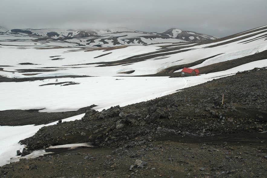
Hrafntinnusker hut on the Laugavegur. Photo: PanWoyteczek, CC BY 4.0
Best time to visit
Landmannaleið (F225) has opened between 9 and 24 June in recent years, and the Sigalda–Landmannalaugar section of F208 from late May to late June; the roads close with the first autumn snow, often in September or October. Check road.is before you set out.
July and August give the most reliable access and the longest days. Typical July and August temperatures in Fjallabak are only 5 to 14°C, and the reserve's own guidance warns that south and south-east winds bring rain while north and north-east winds bring colder but clearer weather.
Safety and practical tips
- Geothermal ground: stay on firm, dry ground and follow your guide. A thin crust can cover boiling mud, and the water in these vents is far above bathing temperature.
- Weather: fog, sudden rain and wind are normal. Bring a waterproof shell, warm layers, gloves and a hat even in July. Buggy tours supply helmets and overalls; wear sturdy closed shoes.
- Facilities: none at Pokahryggir. The nearest toilets, huts and wardens are at Landmannalaugar and Landmannahellir.
- Fees: no entry fee to the reserve; Landmannalaugar charges for parking (booked in advance through Parka for self-drivers arriving between 9:00 and 16:00) and camping.
- Phone signal: patchy to none. Tell someone your plan and use safetravel.is.
- Leave no trace: no stone-moving, no collecting obsidian, no driving off track.
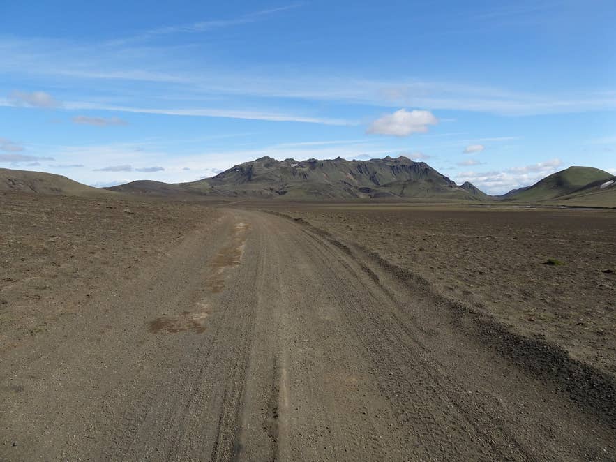
F225 road near Pokahryggir. Photo: Klaus Nahr, CC BY-SA 2.0
Nearby attractions
- Rauðufossar - red-rock waterfalls on the Rauðufossakvísl, about 4 km north-west.
- Landmannahellir - highland hut, cave and campsite on F225, about 6 km north.
- Brennisteinsalda - the coloured sulphur mountain above Landmannalaugar, about 6 km east.
- Hrafntinnusker Mountain Peak - the 1,128 m obsidian mountain and Laugavegur hut, about 8 km south-east.
- Dómadalur - the valley F225 follows toward Landmannalaugar, about 8 km north-east.
- Landmannalaugar - hot-spring bathing, huts and the start of the Laugavegur, about 10 km east.
Tours that visit Pokahryggir
- Half-Day Landmannalaugar Buggy Adventure from Hrauneyjar Highland Center - a roughly five-hour guided buggy loop from Hrauneyjar through the Sölvahraun and Skjólkvíahraun lava fields and the Pokahryggir geothermal landscape to Landmannalaugar, returning past Hrafntinnusker, Laufafell, Rangárbotnar and Hestalda.
