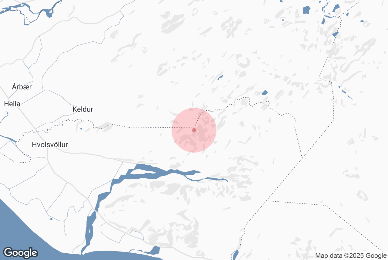

Tindfjöll is a mountain ridge that runs south from the glacier and volcano Tindfjallajökull. It was formed in an eruption 54,000 years ago.
Photo above from Wikimedia, Creative Commons, by Borvan53. No edits made.
当サイトの情報が信頼できる理由
Guide to Iceland (ガイド・トゥ・アイスランド)は、アイスランドで最も信頼されている旅行プラットフォームです。毎年、何百万人もの旅行者にご利用いただいています。 すべてのコンテンツは、アイスランドに精通した現地の専門家が執筆・監修しており、 常に正確で最新の情報を提供しています。 信頼できる旅のアドバイスをお探しなら、ぜひ当サイトをご活用ください。
Tindfjöll is located in the south-west of the Icelandic highlands, close to settlements such as Reykholt and Fluðir, and attractions such as Gullfoss waterfall. The tallest mountain in the range is simply called 'the Peak' and stands at 1251 metres (4104 feet). Tindfjöll translates directly to 'Peak Mountains'.
'The Peak' is still not as tall as Tindafjallajökull itself, the highest point of which is 1462 metres. This summit is named Ýmir, after the giant from Old Norse Mythology whose death created the earth and heavens.
Explore this area on a self drive tour in Iceland.


