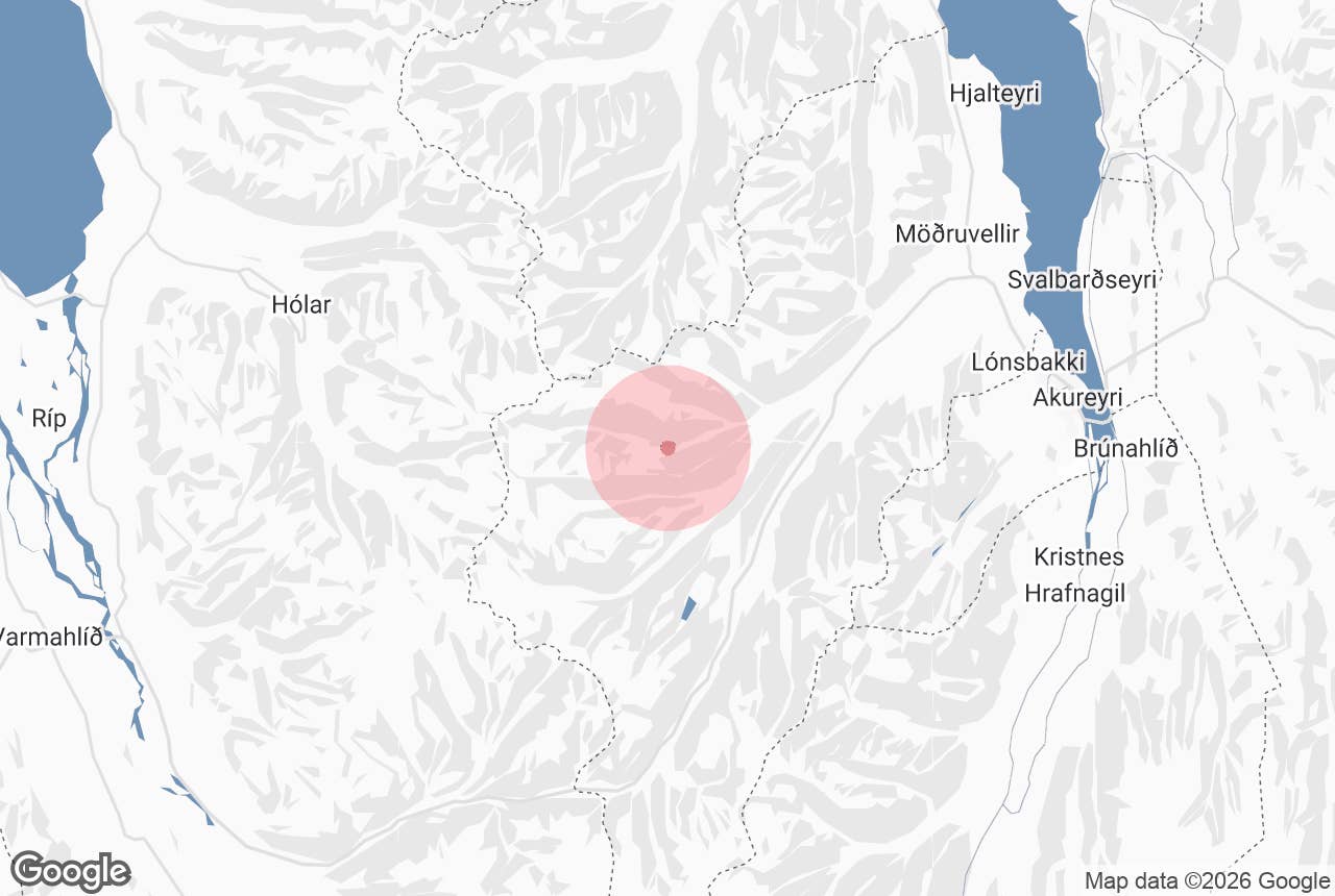
Barkárdalur is a deserted side valley on the Troll Peninsula (Tröllaskagi) in North Iceland. It branches west off Hörgárdalur, the long farming valley that the Ring Road follows out of Akureyri, and runs into the mountains towards the middle of the peninsula.
The name means "the valley of the river Barká", and the Barká river is what you follow all the way in. Nobody has lived in Barkárdalur since 1965, and that is the attraction: a quiet glacial valley, a few farm ruins, a waterfall, and at the end the restored turf farmhouse of Baugasel.
Key Takeaways About Barkárdalur
- Deserted tributary valley of Hörgárdalur on Tröllaskagi, about 25 km west of Akureyri; uninhabited since 1965
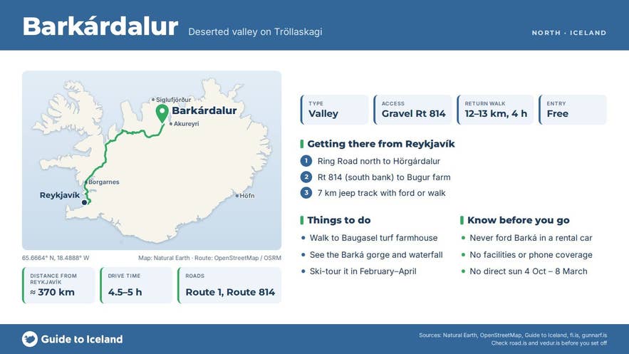
- Reached from the farm Bugur on Staðarbakkavegur (Route 814); beyond it a 7 km jeep track (vehicles ford the Barká; walkers use a footbridge), or a 12–13 km return walk
- Highlights: the Barká gorge, a waterfall near the ruined farm Féeggsstaðir, and the restored Baugasel turf farmhouse (always-open hut)
- No facilities, signs or phone coverage; no entrance fee
- Walk it June–September; the Akureyri Touring Club runs ski or walking days in late winter; no direct sun at the valley head from 4 October to 8 March
Why visit Barkárdalur
Hörgárdalur is wide and fertile where it meets Eyjafjörður, but its inner reaches are narrow, with mountains on its western side rising well over 1,000 metres (Baugaselsfjall, above the head of Barkárdalur, reaches about 1,160 metres). Barkárdalur is one of those inner tributary valleys.
Once you leave the last farm, Bugur, the valley is empty of people and buildings apart from the ruins of former farms such as Féeggsstaðir and the turf house at Baugasel at its head.
Three things make the valley worth the effort:
- A glacial valley with almost no infrastructure. The track is rough, vehicles must ford the river, and there are no signs or facilities. In winter the snow fills the valley floor and the Akureyri Touring Club uses it as an easy ski route.
- The Barká gorge and waterfall. The river has cut a gorge along parts of the valley, and there is a waterfall near the abandoned farm Féeggsstaðir (Féeggsstaðafoss, spelt Feeggstadafoss in the GTI tour text) that the super jeep tour stops at.
- Baugasel turf farm. The last farm in Barkárdalur, abandoned in 1965 and restored as a hikers' hut by the local touring club Ferðafélagið Hörgur from 1981. It is the only standing turf farmhouse in Hörgársveit, and one you can walk into without a ticket. It has its own page: Baugasel Turf Farm.
Barkárdalur also shows why Iceland's inner valleys emptied out. The mountains are so high and the valley so narrow that, at Baugasel, the sun does not rise above the ridges from 4 October to 8 March, 157 days a year.
How to get to Barkárdalur
Barkárdalur lies roughly 25 km west of Akureyri in a straight line. From Reykjavík it is about 370 km by the Ring Road (Route 1) and the Hörgárdalur side road, four and a half to five hours of driving.
From Akureyri, take Route 1 north along Eyjafjörður and then west into Hörgárdalur.
Where the Ring Road climbs away into Öxnadalur, two minor gravel roads continue up Hörgárdalur: Hörgárdalsvegur (Route 815) on the north side of the river Hörgá and Staðarbakkavegur (Route 814) on the south side.
Bugur, the farm where the Barkárdalur walk begins, stands on Staðarbakkavegur (Route 814), about 27 km and half an hour's drive from Akureyri.
From Bugur a jeep track runs about 7 km up Barkárdalur to Baugasel. This is a 4x4 track: vehicles cross the Barká at a ford, and it is not for ordinary cars or small SUVs. Most visitors either walk it or go with a local operator in a modified super jeep.
On foot the route follows the river and crosses it on a footbridge; the return trip from Bugur to Baugasel is 12 to 13 km with only about 80 metres of ascent, so it is a long but easy walk of around four hours.
There is no formal car park; leave your car where it does not block the farm road or gates.
Best time to visit
- June to September is the walking season. The track is free of snow, the river is usually fordable for jeeps, and the valley floor is green.
- February to April is when the Akureyri Touring Club (Ferðafélag Akureyrar) runs ski or walking days to Baugasel. In settled weather the valley is a gentle ski route.
- October to early March the valley bottom gets no direct sun at all. It is still possible to visit, but expect cold, shade and short days.
Safety and practical tips
- The Barká is a cold mountain river fed by snowmelt and the small Barkárdalsjökull glacier at the valley head. Use the footbridge rather than wading, and never drive across the ford in a standard rental car. In winter the crossing may be on a snow bridge or ice; this is for experienced local drivers only.
- There are no facilities in the valley: no toilets, water taps, shops or phone coverage you can rely on. Bring food, water and warm layers.
- Weather on Tröllaskagi changes fast. Check vedur.is and safetravel.is before you set out, and tell someone your plan.
- Baugasel hut is always open and unstaffed. It sleeps four (up to six at a squeeze), has an outdoor toilet but no running water (there is a stream nearby), and payment instructions are inside the sleeping room. Treat it with care: it is a heritage building, re-roofed and repaired in 2024 with grants from the national heritage and tourist-site funds.
- There is no entrance fee for the valley.
Can I drive into Barkárdalur in a rental car?
How long is the walk to Baugasel?
Is anything open in the valley?
Why was the valley abandoned?
Is Barkárdalur the same as Bárðardalur?
Nearby attractions
- Myrká – the neighbouring farm and church site in Hörgárdalur, about 4 km away.
- Hörgárdalur – the main valley Barkárdalur branches off, about 6 km.
- Hraundrangi – the rock spire on the ridge between Hörgárdalur and Öxnadalur, about 7 km.
- Hraunsvatn – mountain lake above Öxnadalur, about 10 km.
- Öxnadalur – the Ring Road valley next door, about 10 km.
- Möðruvellir – historic church and manor at the mouth of Hörgárdalur, about 22 km.
Tours that visit Barkárdalur
- Private Super Jeep Shore Excursion to Eyjafjordur Hidden Valley from Akureyri – a three-hour private tour from Akureyri cruise port that drives up Barkárdalur, fords the Barká, visits the waterfall and Baugasel, and returns past Möðruvellir church and the Fálkafell viewpoint.
Popular Tours to Barkardalur Valley

 9.2129 reviews
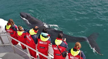
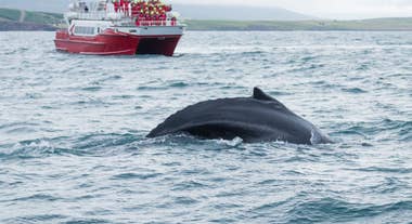
Whale Watching Tour from Akureyri
Tour startsAkureyriDuration3 hoursFrom 118USD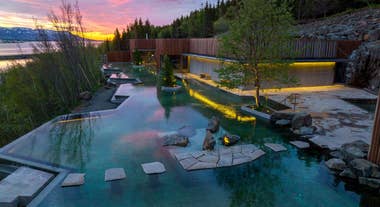
 8.892 reviews
Forest Lagoon Admission Ticket in North Iceland
Tour startsForest Lagoon, Vaðlaskógur, Akureyri, IcelandDuration2 hoursFrom 83USD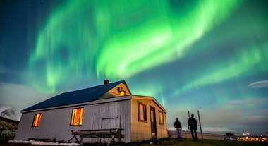 9.026 reviews
Northern Lights Hunt from Akureyri
Tour startsAkureyriDuration3 hoursFrom 122USD