Information about Elliðavatn
Credit: Wikimedia, Creative Commons. Photo by Axel Kristinsson.
Elliðavatn is a lake within the greater capital area of Reykjavík in South Iceland.
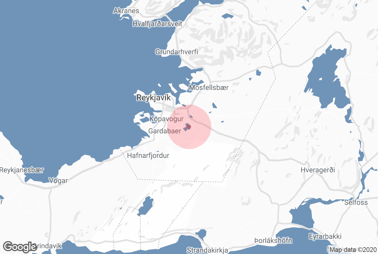
Geography and History
The lake was originally two different lakes called Vatnsendavatn and Vatnsvatn. The former belonged to the town of Kópavogur, and the latter to Reykjavík, meaning Elliðavatn rests on the borders of the two. Elliðavatn has a length of about 2 kilometres (1.2 miles) and a depth of approximately 1-2 metres (3-7 feet).
The lake is fed by the rivers Bugðá and Suðurá, but the lake’s primary outflow is the river Elliðaá. The rivers and lake are popular angling spots for catching Arctic char, salmon and brown trout.
Reaching into the lake is a spit by the name of Þingnes. According to the Icelandic Book of Settlement, Þorsteinn Ingólfsson, who was the son of Iceland’s first permanent settler Ingólfur Arnarson, called a congress there before the 930 AD formation of Alþingi in Þingvellir.
Services near Elliðavatn
Attractions nearby Elliðavatn
Rauðhólar
Wikimedia. Creative Commons. Credit: TommyZ The Rauðhólar ("The Red Hills") is what is left of a group of pseudocraters on the s...
Hólmsheiði
Hólmsheiði is a prison just outside of Reykjavík, known for its long-term rehabilitation facilities for women, as well as its reputa...
Reykjavík
Reykjavík is the capital of Iceland and the northernmost capital of any sovereign state in the world. Despite a small population (approximat...
Árbæjarsafn
Wikimedia. Creative Commons. Credit: Ymblanter. Árbæjarsafn is an open-air museum in Reykjavík dedicated to providing guests...
Elliðaá
Ellidaa is a river inside the Reykjavik area. Its source are two smaller rivers in the Blafjoll mountain range and the Hengill area that flow ...
Garðabær
Garðabær is a municipality in the Capital Region of Iceland, located between the districts of Kópavogur and Hafnarfjörður.&n...
Kópavogur
Kópavogur is a municipality in the Capital Region of Iceland. It is the largest town of those surrounding Reykjavík City, as well a...
Laugardalur
Photo from Regína Hrönn Ragnarsdóttir Laugardalur, or ‘the hot spring valley’, is an area in Reykjavík bes...
Hafravatn
Wikimedia, Creative Commons, Photo by Philipp Weigell Hafravatn is a lake on the outskirts of Iceland’s capital city, Reykjavík, in the ...
Úlfarsfell
Úlfarsfell is a mountain about twelve kilometres (seven miles) Reykjavík. It stands at 296 metres (971 feet) tall. Úlfarsfell ...
Ásmundarsafn
Asmundarsafn in Laugardalur valley in Reykjavik is a museum dedicated to the works of Icelandic sculptor Asmundur Sveinsson. Along with the ...
Perlan
Perlan ('The Pearl') is a museum and rotating glass dome that stands on top of Öskjuhlíð Hill in Reykjavík; surrounde...
Laugardalslaug
Wikimedia, Creative Commons, Photo by Ohlen Laugardalslaug is a swimming and sports complex with Iceland’s largest pool. It is located in the c...
Nauthólsvík
Nauthólsvík is a beach in Reykjavík, which is heated with geothermal water at certain times of the day. Photo from Flickr, by ...
Reykjahlíð
Reykjahlid is a small village by the shores of Lake Myvatn, in North Iceland. Reykjahlid has about 300 inhabitants and is close to many natu...
Hafnarfjörður
Wikimedia, Creative Commons, Photo Credit: Udm Hafnarfjörður is Iceland’s third most populous city, and located in the Greater Reykjav...
Hlemmur
Hlemmur is a long-time fixture of Reykjavík’s capital region, serving for the past century as a central transportation hub. Hlemm...
Reykjavík Airport
Reykjavík Airport refers to the predominantly domestic airport within Iceland’s capital, often shortened to RVK or BIRK. While...
Laugavegur (Main Street)
Wikimedia, Creative Commons, Photo Credit: Marek Ślusarczyk Laugavegur is the main shopping street in Reykjavík, renowned for its boutiqu...
Viðey
Viðey is an island just off the coast of Reykjavík, Iceland’s capital city. It is a popular destination due to its natural beauty, ...