Informationen über: Arnarker
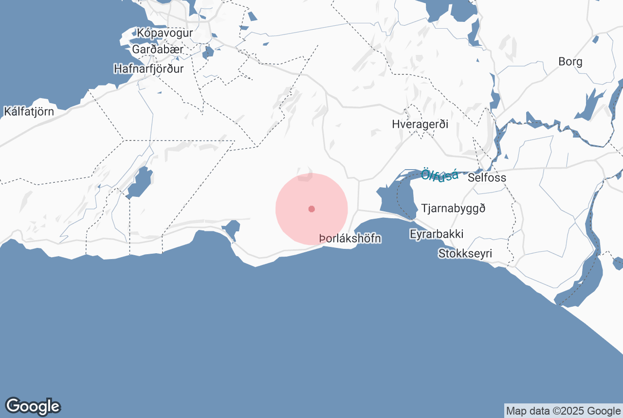
Arnarker is a 515 m (1,693 ft) long cave in the Leitarhraun lava field, north of the old road leading from Þrengsli towards Selvogur.
Although its original name is Arnarker (Eagle's Basin), the cave is almost always locally referred to as "Kerid". It takes about an hour to drive from Reykjavik to Arnarker and a marked path leads to it from a sign by the road.
Arnarker is spacious, wide and high, although the cave’s northern section is severely damaged; its ceiling collapsed a few thousand years ago and deposits cover the floor, except for the first 100 metres, which are perpetually covered by a thick sheet of ice. In late winter, enormous icicles form inside the cave, some becoming well over 3 m (10 ft) long.
Dienstleistungen in der Nähe: Arnarker
Attraktionen in der Umgebung: Arnarker
Þorlákshöfn
Þórlakshöfn is the main town of the Öfus district in South Iceland, located on the South Shore. It has a population of about ...
Ölfus
Olfus is a area in Arnessysla county, with its boundaries at Olfusa in the east and the Hellisheidi plateau in the west. The landscape of Ol...
Raufarhólshellir
Photo from The Lava Tunnel | Raufarholshellir Caving Tour Raufarhólshellir is the fourth longest lava tube in Iceland at 1,360 metres (4,...
Þrengsli und Þrengslavegur
Þrengslavegur is a road in Iceland that connects Route 1 to the towns along the southern coastline, whereas Þrengsli is a picturesque...
Strandakirkja
Ca. 15 minutes drive eastwards from Krysuvik, by the sea is the old church Strandakirkja in Selvogur. The sea waves there are breathtakin...
Ringstraße
Iceland has one main road: Route 1, or the Icelandic Ring Road. This ring road goes all around the island and is 1,332 kilometres long (828 miles), ...
Hellisheiði
Wikimedia, Creative Commons, Photo Credit: ThinkGeoEnergy Hellisheiði is a lava plateau east of Reykavík, approximately 380 metres (1,247 ...
Þríhnúkagígur
Photo from Thrihnukagigar Volcano Tour Þríhnúkagígur is a dormant volcano in west Iceland, famous for its enormous magma c...
Kristnitökuhraun
Kristnitökuhraun is a lava field to the west of Hellisheiði plateau in southwest Iceland. The lava field formed during an eruption in the ye...
The Geothermal Energy Exhibition
Photo from the Geothermal Exhibition The Geothermal Energy Exhibition is an interactive museum on Iceland’s volcanic processes at Hellisheið...
Hellisheiðarvirkjun
The Hellisheidi Power Station is the largest geothermal powerstation in Iceland and the second-largest in the world. The power station is located by...
Stóri-Bolli
Stori-Bolli is a crater south-east of Hafnarfjordur town about half an hour drive from Reykjavik. From this crater flowed the lava field Storabollahra...
Eyrarbakki
Eyrarbakki is a fishing village in south Iceland with a population of around 570 people, located at the end of the great Þjórsá&nb...
Hveragerði
Hveragerði is a town and municipality in the southwest of Iceland. It is often nicknamed ‘the Earthquake Town’ or ‘the Hot Spr...
Heiðmörk
Wikimedia. Creative Commons. Credit: TommyZ Heiðmörk is a conservation area on the outskirts of Reykjavík, popular amongst locals and...
Leiðarendi-Höhle
Leiðarendi is a lava tube located in a lava field close to Bláfjöll, the Blue Mountains, in southwest Iceland, about a 25 mi...
Þórsmörk
Nestled between the glaciers Eyjafjallajökull, Mýrdalsjökull, and Tindfjallajökull is Þórsmörk, the Valley o...
Reykjadalur
Reykjadalur, the Valley of Steam, is a beautiful geothermal region close to the southern town Hveragerði. It is a popular place for hiking and h...
Stokkseyri
Stokkseyri is a village of about 445 people in South Iceland, founded on the great Thjorsarhraun lava. In former times Stokkseyri was an important fis...
Hengladalsá
Hengladalsa is a river in Southwest Iceland. The river has its source by the Hengill area, from valleys Innstidalur, Middalur and Fremstidalur,...