


10
Extraordinaire !
Laurette G.
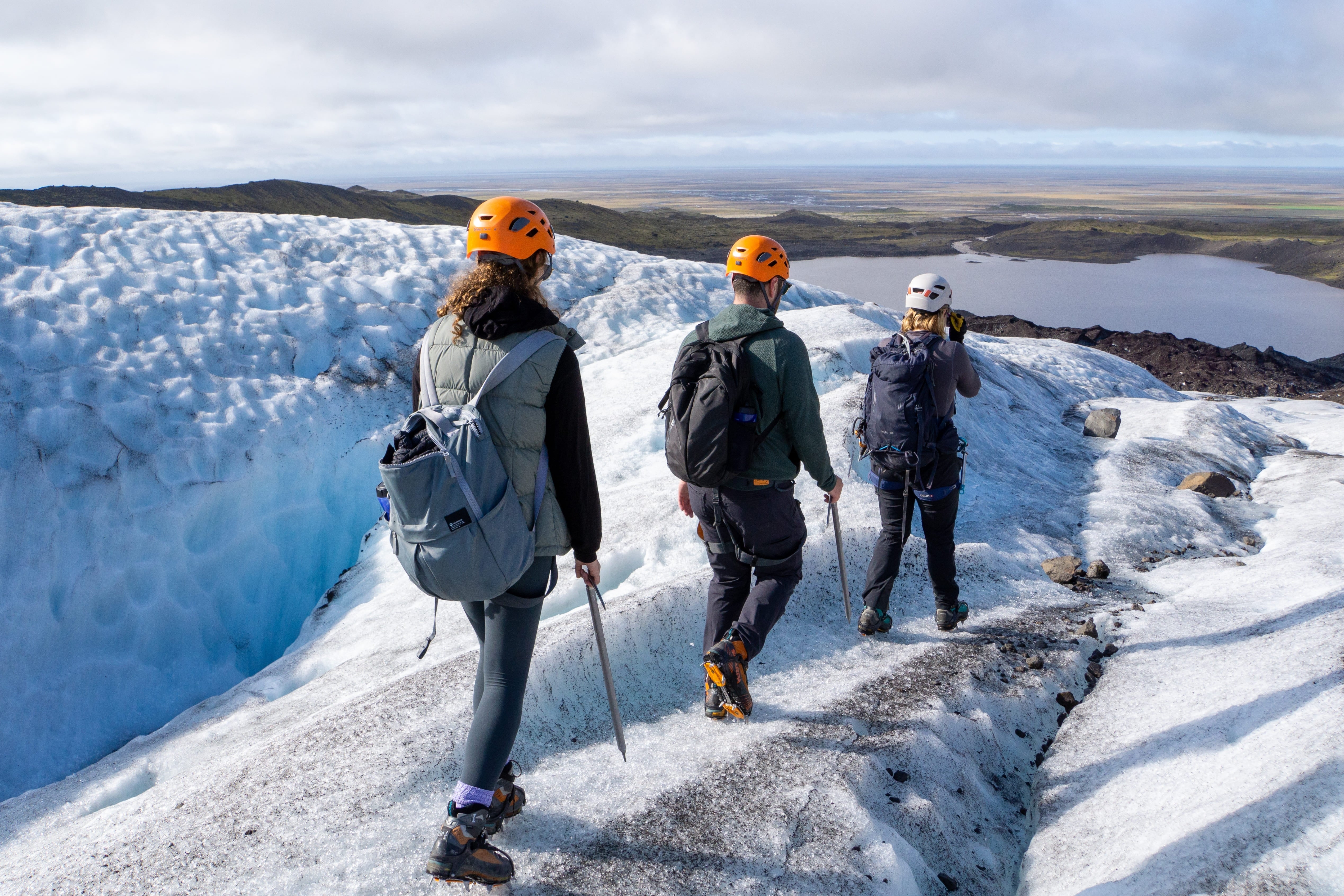
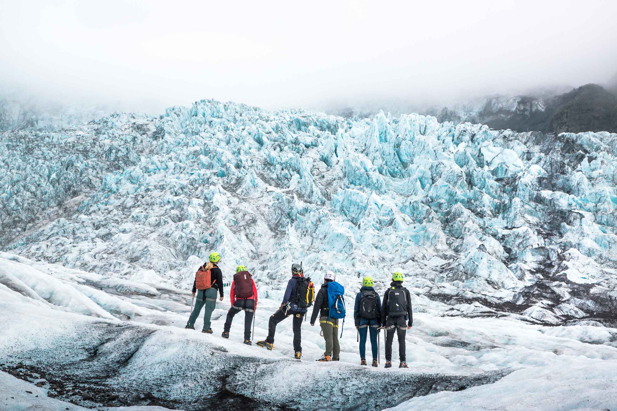
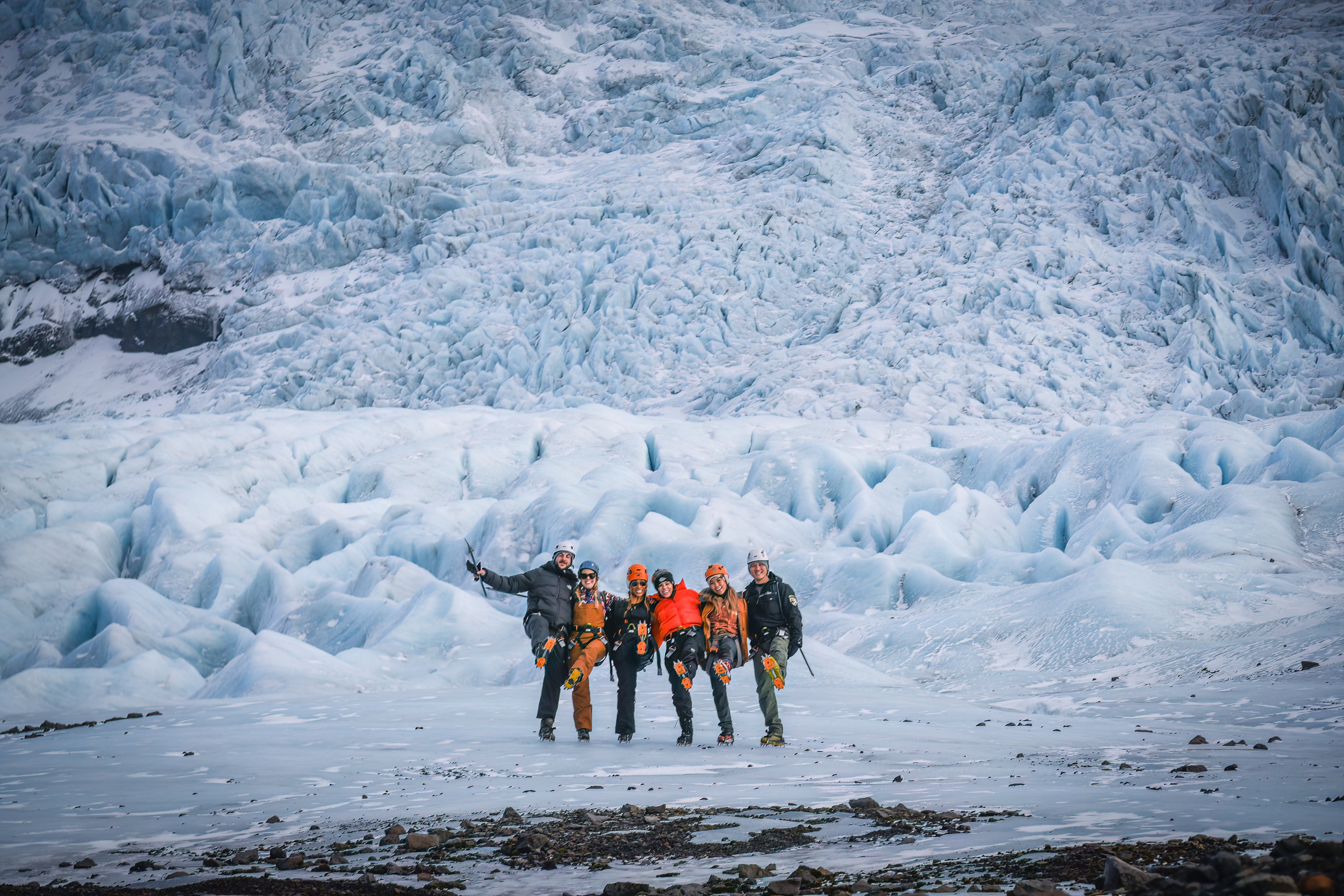
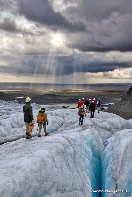
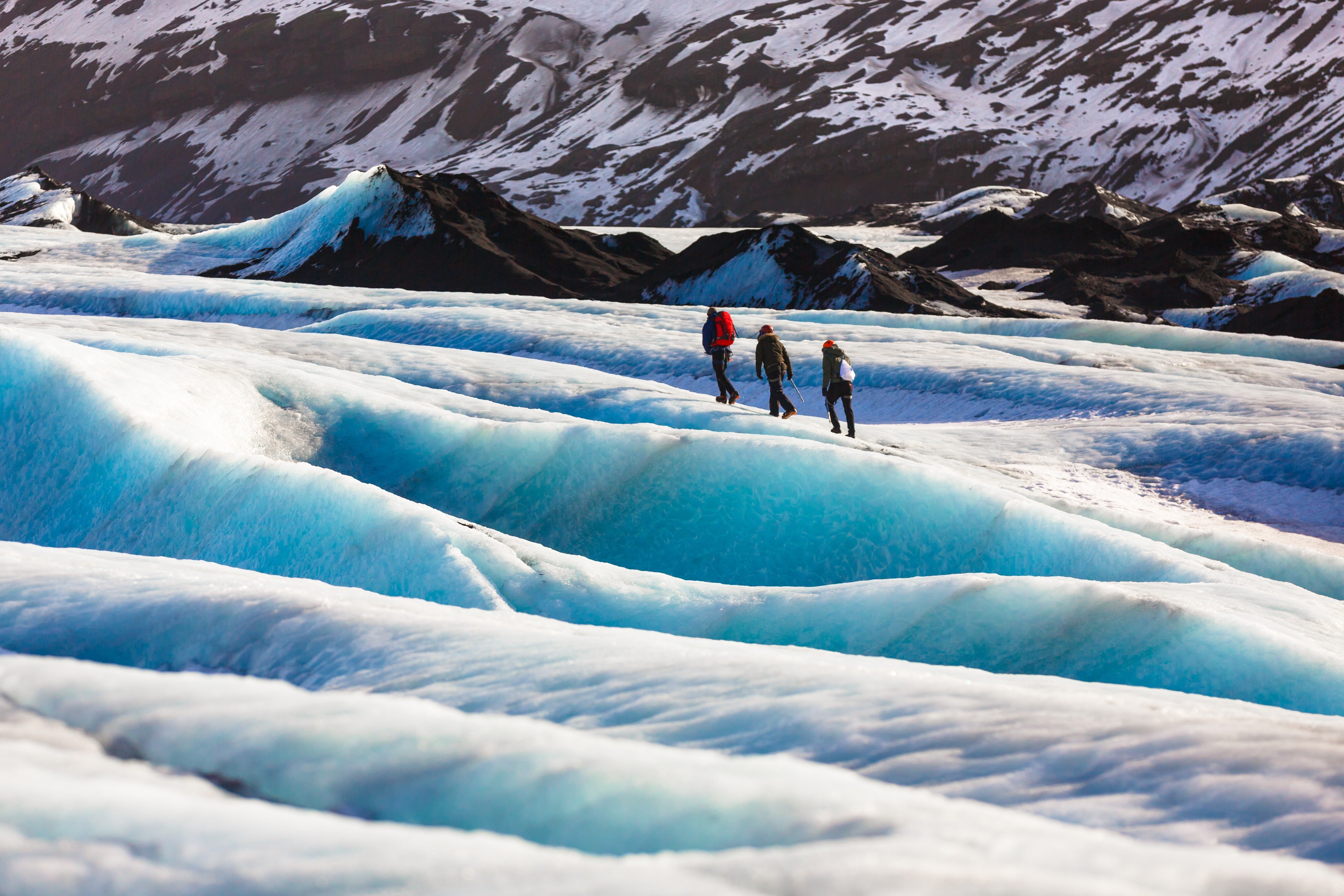
Avis pour Marche sur Glacier Niveau Débutants à Skaftafell sur le Glacier Vatnajokull
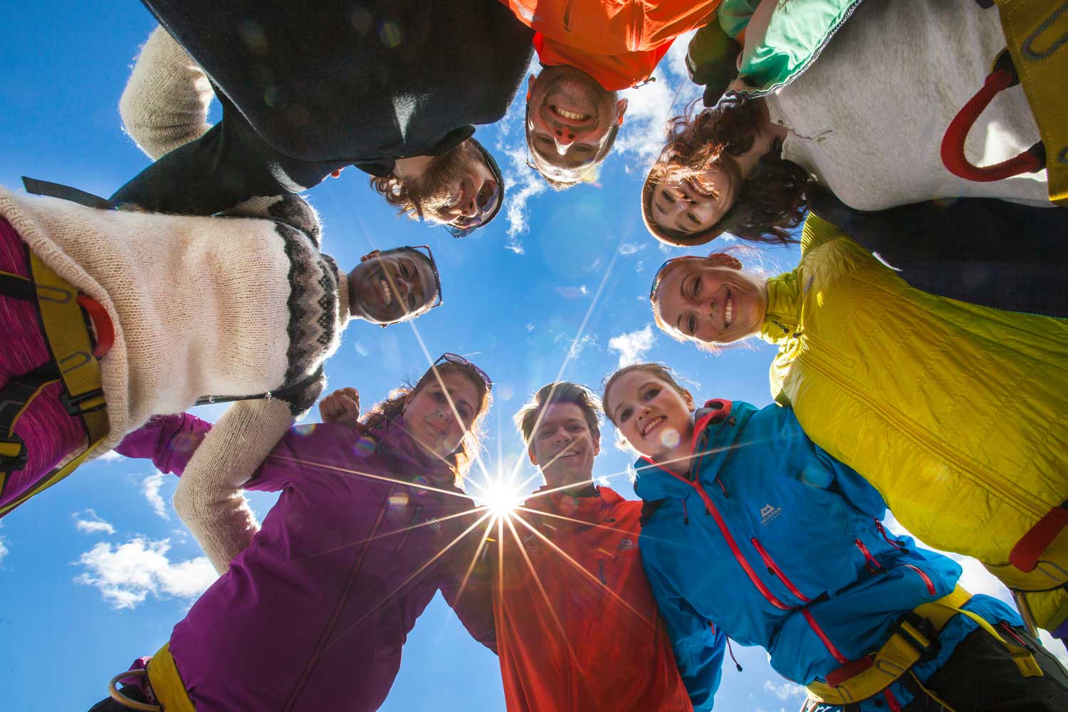
Tout était parfait : l'accueil sur le site, la préparation, la facilité pour réserver. Et un grand merci à Matteo pour cette magnifique excursion ! Il est passionné, drôle et très sympa. Je recommande les yeux fermés.