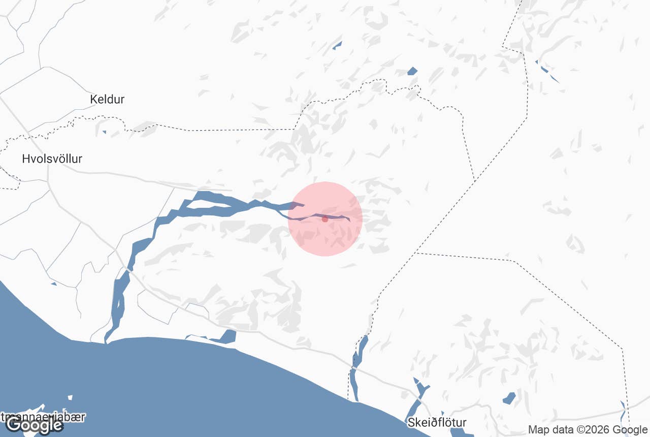

Thorsmörk ist ein Naturschutzgebiet im südlichen isländischen Hochland. Es ist eines der beliebtesten Wanderziele des Landes und ein erstklassiger Ort für Fotografen und Naturliebhaber.
Benannt nach Thor, dem nordischen Gott des Donners, ist Thorsmörk ein wahrer Augenschmaus. Eingebettet zwischen gigantischen Gletschern, bietet dieses Naturschutzgebiet ein intimes Erlebnis mit vielfältigen isländischen Landschaften. Mit versteckten Wasserfällen und atemberaubenden Panoramablicken ist ein Besuch in Thorsmörk etwas, das du wahrscheinlich nie vergessen wirst.
Warum du unseren Inhalten vertrauen kannst
Guide to Iceland ist die vertrauenswürdigste Reiseplattform Islands und hilft jedes Jahr Millionen von Besuchern. Alle Inhalte werden von lokalen Experten erstellt und geprüft, die Island in- und auswendig kennen. So kannst du dich auf zuverlässige, aktuelle und präzise Reisetipps verlassen.
Streng genommen ist Thorsmörk ein Tal und ein Gebirgszug zwischen den Flüssen Krossa, Thronga und Markarfljot, aber die Einheimischen verwenden den Namen Thorsmörk oft, wenn sie sich auf eine viel größere Region in der Umgebung beziehen.
Wie andere Orte im isländischen Hochland auch, ist Thorsmörk nur in den Sommermonaten zugänglich. Die Straße dorthin ist zerklüftet. Wenn du die Region auf eigene Faust besuchen willst, musst du einen Allradwagen mieten. Alternativ kannst du auch eine Superjeep- und Wandertour durch Thorsmörk machen, bei der dich ein ortskundiger Guide zum Besten führt, was das Tal zu bieten hat.
Anreise

Um mit dem Auto nach Thorsmörk zu gelangen, fährst du die südliche Ringstraße und nimmst dann die Straße 249, um näher an das Tal heranzukommen. Wie bereits erwähnt, brauchst du einen Allradantrieb, da die Straße über unüberbrückte Flüsse führt, sodass kleinere Mietwagen nicht ausreichen. Das isländische Hochland ist in den Wintermonaten (16. Oktober bis 30. April) nicht zugänglich, also versuche nicht, die Reise außerhalb des Sommers zu unternehmen.
Der letzte Fluss vor Thorsmörk ist der Krossa, der nur von erfahrenen Fahrern, nur mit Allradantrieb und nur wenn die Bedingungen es erlauben überquert werden sollte, da der Fluss für jedes Fahrzeug sehr gefährlich sein kann. Alternativ kannst du die Gegend auch mit einem Experten auf einer Superjeep- und Wandertour durch Thorsmörk erkunden.
Wenn du in Thorsmörk ankommst, wirst du von einer atemberaubenden Landschaft und einem Campingplatz begrüßt, auf dem du Annehmlichkeiten wie ein Informationszentrum, in dem du alles über die nahegelegenen Wanderwege erfahren kannst, ein Restaurant und einen Laden findest.
Aktivitäten in Thorsmörk

Die Landschaften von Thorsmörk beherbergen einige der erstaunlichsten Wanderrouten in Island. Zwei der beliebtesten Wanderwege in Island, der Fimmvorduhals und der Laugavegur, beginnen oder enden in Thorsmörk. Diese mehrtägigen Wanderwege erfordern ein ordentliches Maß an Fitness und ein wenig Vorbereitung.
Der Fimmvorduhals ist ein 30 km langer Wanderweg, der dich in die Hügel unterhalb des Gletschervulkans Eyjafjallajökull und zu den Vulkankratern Magni und Modi führt, die während des Ausbruchs 2010 ausgebrochen sind.
Der 55 Kilometer lange Laugavegur-Pfad führt dich von Thorsmörk zum Landmannalaugar-Gebiet, das eine unglaubliche Fülle an heißen Quellen und Rhyolithbergen in leuchtenden Farben beherbergt.

In Thorsmörk gibt es auch mehrere kürzere Wanderrouten, die von einer Stunde bis zu einem ganzen Tag dauern können. Eine beliebte und leicht zugängliche Aktivität in Thorsmörk ist die Wanderung auf den Gipfel des Berges Valahnukur, von dem aus man einen fantastischen Panoramablick auf die Umgebung hat.
Eine weitere Sehenswürdigkeit in Thorsmörk ist die Schlucht Stakkholtsgja. Der Weg dorthin und in die Schlucht fühlt sich an wie aus einem Abenteuerroman, mit steilen, moosbewachsenen Klippen und einem sanften Bach, der die Besucher zu einem Schatz am Ende führt: einem abgelegenen Wasserfall.
Unterkünfte in Thorsmörk

Wenn du länger als einen Tag in Thorsmörk bleiben möchtest, bietet Volcano Huts dir verschiedene Möglichkeiten, je nachdem, was du bevorzugst. Eine gängige Option ist der Aufenthalt in einem der gemütlichen Ferienhäuser, entweder indem du ein ganzes Ferienhaus oder ein Privatzimmer mietest, oder indem du in einem günstigen Schlafsaal wohnst. Diese sollten frühzeitig gebucht werden, da der Platz begrenzt ist.
Volcano Huts betreibt auch einen Campingplatz, zu dem du dein eigenes Zelt, Schlafsäcke und andere Campingausrüstung mitbringen kannst. Wenn du stilvoll campen möchtest, kannst du dir ein Luxus-Doppelzelt als Glamping-Option aussuchen. Diese geräumigen Zelte verfügen über eine elektrische Heizung, Daunendecken und Wolldecken, die für zusätzliche Wärme und Komfort sorgen.
Auch in der Nähe von Thorsmörk gibt es viele tolle Unterkunftsmöglichkeiten. Die Garage bietet gemütliche Studioapartments zwischen den Wasserfällen Seljalandsfoss und Skogafoss. Das ist eine gute Lage, wenn du Thorsmörk besuchen oder andere Attraktionen an der Südküste besichtigen möchtest.


