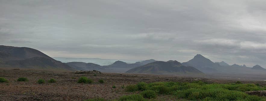
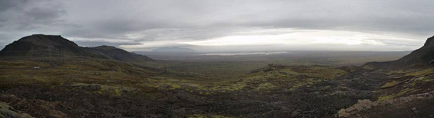
Jarlhettur peaks from Mosaskarð. Photo: cwi.aida, CC BY-SA 3.0
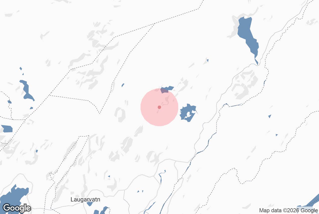
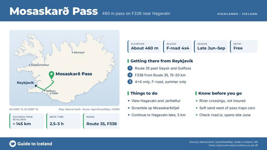
Mosaskarð Pass is a mountain pass at roughly 460 metres above sea level on the F338 Skjaldbreiðarvegur highland track, roughly 5 km south-west of Hagavatn lake and the southern edge of Langjökull glacier. The name means "moss pass" (mosi = moss, skarð = gap or pass).
The track climbs out of the Lambahraun lava field between Mosaskarðsfjall to the south-west and Fagradalsfjall to the north-east and drops towards the Farið river and Hagavatn. For drivers and buggy riders crossing from Þingvellir and Hlöðufell to the Golden Circle, Mosaskarð Pass is the point where the view opens up over Hagavatn, Sandvatn and the Jarlhettur peaks.
Key Takeaways About Mosaskarð
- A roughly 460 m pass on the F338 Skjaldbreiðarvegur jeep track, 5 km south-west of Hagavatn and Langjökull's southern edge.
- The viewpoint where the track drops from the Lambahraun lava towards Hagavatn, Sandvatn and the Jarlhettur peaks.
- F338 is a 49 km difficult jeep trail from Route 550 (Kaldidalsvegur) to Route 35 north of Gullfoss, with river crossings; 4x4 only.
- Open roughly late June/early July to early September; check road.is.
- No facilities or car park; nearest services at Geysir.
Why visit Mosaskarð Pass
Mosaskarð Pass is a viewpoint rather than a destination.
Coming from the west you have driven for an hour across black sand and grey moss-covered lava with Skjaldbreiður and Hlöðufell behind you.
At the pass the ground falls away to the east and you see the two Hagafellsjökull outlet glaciers of Langjökull, the glacial lake Hagavatn below them, the sandy outwash plain running down to Sandvatn, and the row of dark Jarlhettur peaks on the skyline.
On a clear day the Golden Circle farmland is visible far to the south.
The country around the pass tells a story of sand and ice. Hagavatn is dammed by Langjökull, and when the glacier thinned the lake dropped sharply in 1939, and there were fears it would empty again during a surge of Hagafellsjökull in 1999.
The exposed lake bed is the source of the dust storms that blow across this area; only about 14 percent of the land around the lake has any plant cover. Schemes to enlarge the lake and revegetate the area have been discussed since the 1990s.
The outflow, Farið, has a footbridge below Einifell built in 2006 and the remains of an older bridge.
The pass itself is quiet, with moss, grasses and the occasional bird; highland species such as golden plover and snow bunting may be seen in summer.
How to get to Mosaskarð Pass
Mosaskarð Pass is on F338 Skjaldbreiðarvegur, an F-road of about 49 km that runs from Route 550 (Kaldidalsvegur) near Brunnavatn north of Þingvellir, past Skjaldbreiður and Hlöðufell, east across the Lambahraun lava field to Route 35 a few kilometres north of Gullfoss. A high-voltage power line runs close to the track near the pass.
From Reykjavík via Þingvellir and Route 550 allow roughly 3.5 to 4 hours to the pass; via Gullfoss and the eastern end of F338 it is shorter, around 2.5 to 3 hours, because the pass is only some 15 to 20 km of track from Route 35.
F338 is a track, not a road. The national map (IS 50V) classifies it as a difficult jeep trail ("torfarinn slóði"), it has unbridged river crossings, and its surface changes from boulders and ruts to soft sand. A high-clearance 4x4 is mandatory and travelling with a second vehicle is wise.
Rental companies forbid F-roads for ordinary cars and most insurance excludes river damage. There is no car park; pull well off the track at the pass. Nothing needs to be walked to, but a short scramble up Mosaskarðsfjall adds height to the view.
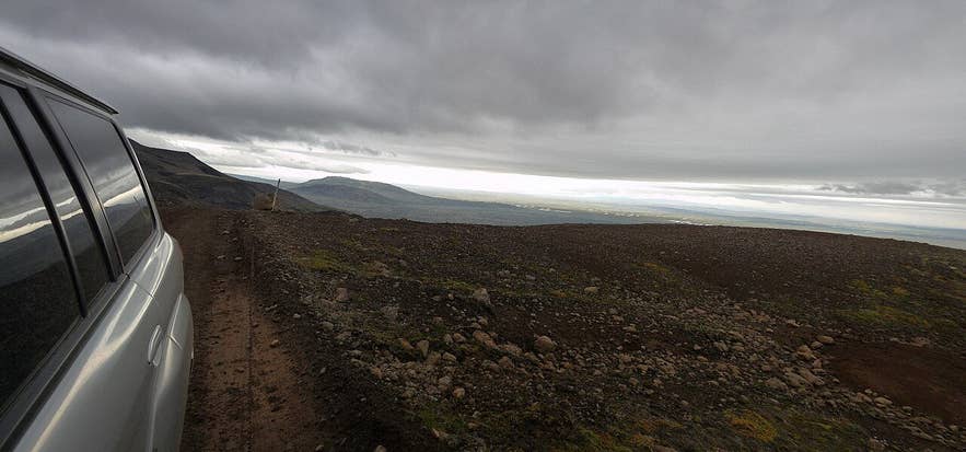
F338 track near Mosaskarð. Photo: cwi.aida, CC BY-SA 3.0
Best time to visit
Late June or early July to early September, when F338 is open. The Icelandic Road Administration (road.is) publishes opening dates each year; the track opens late because of snow in the passes and soft ground.
Buggy tours run on the track from May to November, but they use purpose-built vehicles and local knowledge. Late August and early September offer firm ground and clear air; mid-summer brings dust storms on windy days.
Safety and practical tips
- Check road.is for F338 status and safetravel.is for weather before leaving. Phone signal is weak in the Lambahraun area.
- Never drive off the marked track. The moss and sand here take decades to recover and off-road driving is illegal.
- Carry water, food, warm clothing and a shovel. Soft sand west of the pass can trap vehicles.
- Dust storms are common on windy days; close windows and vents and drive slowly.
- There are no facilities between Þingvellir and Gullfoss. The nearest toilets and fuel are at Geysir.
- Access is free and there are no opening hours; the only constraint is the seasonal road closure.
Mossy lava near Mosaskarð. Photo: cwi.aida, CC BY-SA 3.0
Nearby attractions
- Einifell - 4 km. Low mountain beside the Farið outflow, with the footbridge built in 2006.
- Hagavatn - 5 km. Glacial lake dammed by Langjökull, with the mountain hut and the two Hagafellsjökull glaciers.
- Nýifoss - 5.5 km. Waterfall on Farið, the outflow of Hagavatn.
- Sandvatn - 7 km. Shallow lake on the outwash plain below Hagavatn.
- Hlöðufell - 11 km. Flat-topped tuya mountain on the western section of F338.
- Geysir Hot Springs - 13 km. The Golden Circle geothermal area with Strokkur.
Tours that visit Mosaskarð Pass
- Golden Circle Buggy Tour from Reykjavik - crosses from Þingvellir on highland trails toward Hlöðufell, passes Mosaskarð with views of Hagavatn and Sandvatn, then continues to Gullfoss and Geysir.
