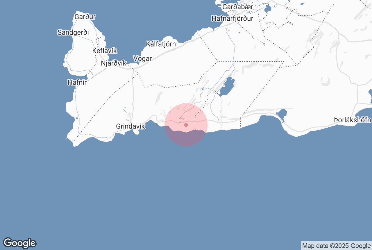

Ögmundarhraun is a lava field on the southern side of the Reykjanes Peninsula, which was formed by an enormous lava flow during an eruption in 1151 AD.
Explore this area on a self drive tour in Iceland.
当サイトの情報が信頼できる理由
Guide to Iceland (ガイド・トゥ・アイスランド)は、アイスランドで最も信頼されている旅行プラットフォームです。毎年、何百万人もの旅行者にご利用いただいています。 すべてのコンテンツは、アイスランドに精通した現地の専門家が執筆・監修しており、 常に正確で最新の情報を提供しています。 信頼できる旅のアドバイスをお探しなら、ぜひ当サイトをご活用ください。
Photo from Wikimedia, Creative Commons, by Alexander Grebenkov. No edits made.
When Ögmundarhraun was still a burning liquid, it incinerated farms and houses in the area. It remains possible, however, to see some of the remains from the destruction, particularly near the beach Selatangar, a haunted and long-since abandoned fishing outpost.
This lava field can be found between the popular Krýsuvík geothermal area and the abandoned farm Ísólfsskáli. Its name originates from the Icelandic male name, Ögmundur.


