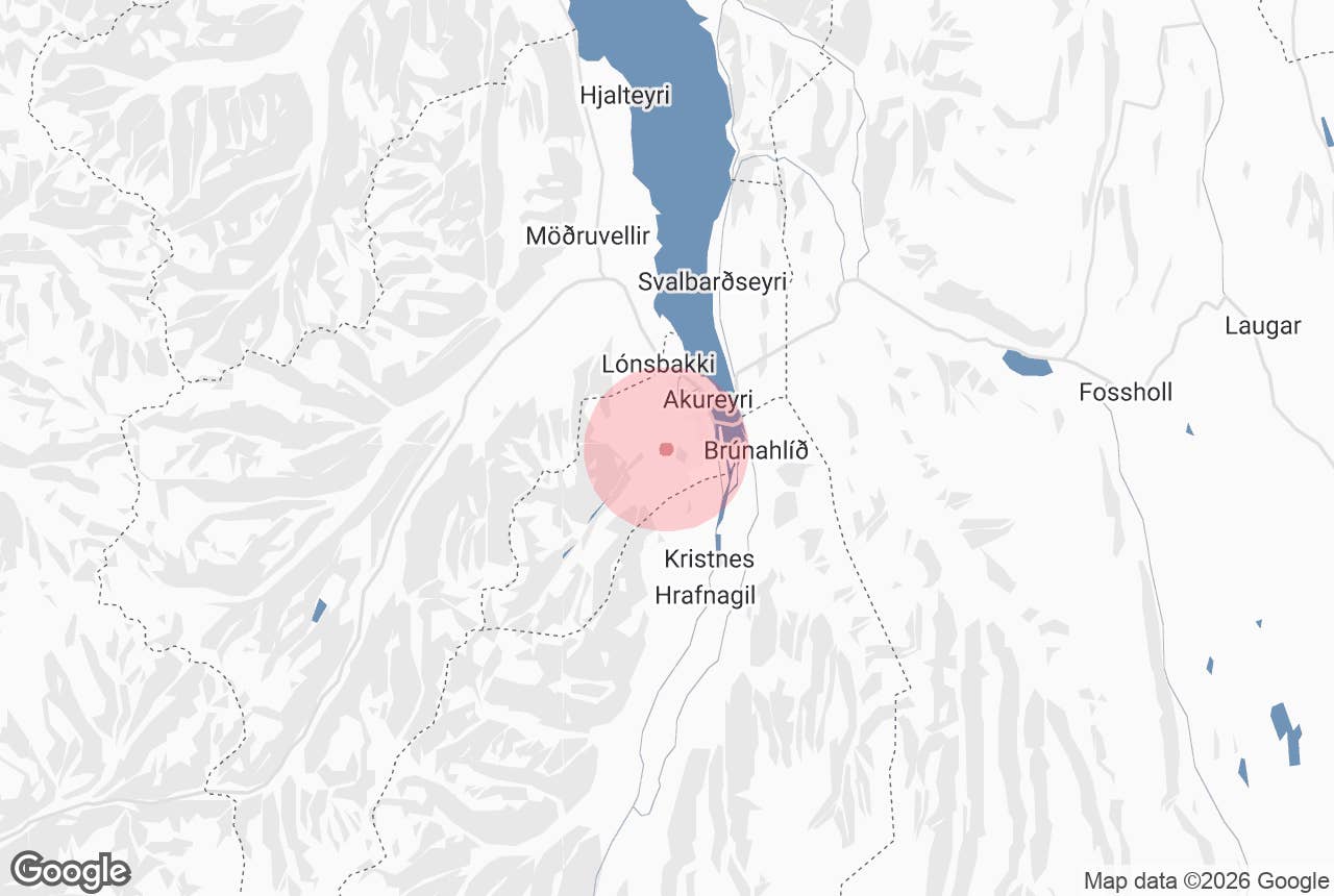
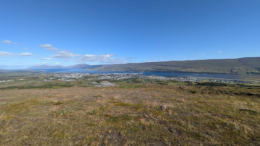
Akureyri and Eyjafjörður from Fálkafell. Photo: Steinninn, CC BY 4.0
Fálkafell ("falcon hill") is a low hill and viewpoint about 370 m above sea level on the moorland directly south-west of Akureyri, the largest town in North Iceland.
On its top stands a small, dark-painted hut of the same name, built in 1932 and, according to the town's trail guide, probably the oldest scout hut in Iceland still in regular use.
From the hut and the cairn beside it you look straight down over the whole of Akureyri, the airport on its spit, and the length of Eyjafjörður out to the sea.
Key Takeaways About Fálkafell
- A 370 m hill directly south-west of Akureyri with the whole town, the airport and Eyjafjörður laid out below.
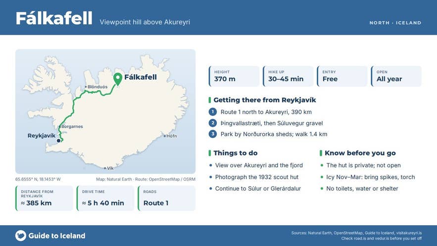
- Marked trail 1.4 km each way (30–45 minutes up) from the Norðurorka district-heating sheds on Súluvegur; relatively easy but steep in places, family-friendly.
- The dark hut on top was built in 1932 by local scouts and is still used by the Klakkur scout troop; not open to visitors.
- No public road to the top; super jeep tours use a rough track, everyone else walks.
- Open all year, free; icy November–March, good for northern lights.
Why visit Fálkafell
Akureyri has several good viewpoints, but Fálkafell hill is the one that shows the town as a whole.
Below you lie the harbour, the church on its hill, the residential streets climbing the slope, the runway of Akureyri Airport sticking out into the fjord, and the Eyjafjarðará delta to the south.
Across the water the mountains of the eastern shore, Vaðlaheiði and Kaldbakur, line up to the north, and the fjord runs about 60 km from Akureyri to the open sea.
On still days the reflections in the inner fjord are complete; in autumn the heath around the hut turns red and gold, and in winter it is a classic spot for photographing the town lights and the northern lights.
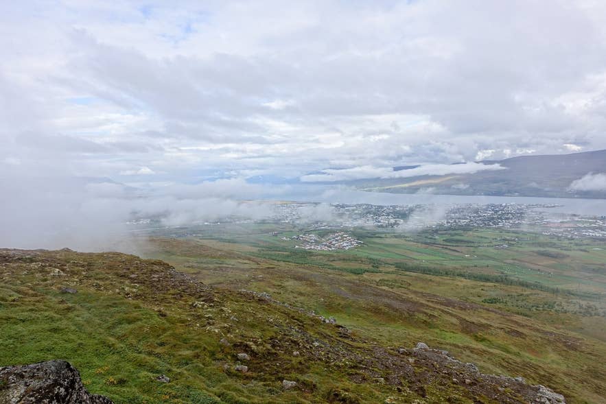
Akureyri from the heath by Fálkafell. Photo: J. Doll, CC BY 3.0
The hut is a piece of local history. It was built in 1932 by local scouts and is owned by the Akureyri scout troop Klakkur, which still uses it for scouting.
There is no electricity and no running water, which is part of why it has kept its character. It is not open to the general public, but you may walk around it and use the cairn and the ground beside it as your viewpoint.
The hill is also the gateway to Glerárdalur, the long glacial valley behind Akureyri, and to Súlur, the twin-peaked mountain (Syðri-Súla, 1,213 m) that is the town's local climb.
The marked trail network of Kjarnaskógur forest links up with the Fálkafell path, so the hill can be the end of a short stroll or the start of a full day in the mountains.
How to get to Fálkafell
The Fálkafell trailhead is about 4 km from the centre of Akureyri. Drive or walk up Þingvallastræti and continue onto Súluvegur, the gravel road that climbs south-west out of town towards Súlur and Glerárdalur. Just above the last houses, by the Norðurorka geothermal utility sheds, there is space to park; the hike to Fálkafell starts here.
The marked trail is 1.4 km one way (2.8 km return), climbing on a gravel track and mixed ground, steep in places, and takes 30 to 45 minutes up. The town's trail guide describes it as relatively easy and accessible, fairly steep in sections, and suitable for the whole family.
Guided super jeep tours drive cruise passengers up to the hut on a rough track without the walk; there is no public road to the top, so drivers in ordinary cars should park on Súluvegur and walk, and anyone driving should keep to the existing track to protect the heath.
From Reykjavík, Akureyri is about 390 km and five hours' drive by Route 1, or a 45-minute flight to Akureyri Airport, which you can see from the top.
Best time to visit
Fálkafell is accessible all year. Summer (June to August) gives the easiest walking, green moorland and the midnight sun over the fjord; the view north up Eyjafjörður at midnight in June is one of the best in town. September and October bring autumn colours.
From November to March the track is often icy or snow-covered and the walk needs crampons or spikes, but the reward is the lit-up town below and, on clear nights, the aurora over the fjord. Evening light is best for photographs at any season, as the sun then lights Akureyri from the west.
Safety and practical tips
- There are no facilities on Fálkafell: no toilets, no shelter open to the public, no water. The hut is private.
- The trail is exposed to wind and can be slippery on the steep gravel sections. Wear proper footwear, and in winter bring spikes and a head torch.
- Keep dogs on a lead; sheep graze the heath in summer.
- Mountain bikers also use the tracks around the hill; give way on narrow sections.
- There is no fee and no opening time.
- The town's trail description, a GPX file and a map are on visitakureyri.is under "Fálkafell".
How high is Fálkafell?
How long is the walk?
Can I go inside the hut?
Can I drive to the top?
Is Fálkafell good for northern lights?
Nearby attractions
- Kjarnaskogur Forest – about 3.1 km, Akureyri's forest park with marked trails that link to Fálkafell
- Súlur – about 5.3 km, the 1,213 m twin peaks that are Akureyri's home mountain, reached from the same road
- Glerardalur – about 6.6 km, the long glacial valley behind the town
- Hlidarfjall – about 4.7 km, the ski area above Akureyri
- Akureyrarkirkja – about 3.7 km, the landmark church on its hill above the town centre
- Akureyri Botanical Gardens – about 3.2 km, one of the northernmost botanical gardens in the world
Tours that visit Fálkafell
- Private Super Jeep Shore Excursion to Eyjafjordur Hidden Valley from Akureyri – a three-hour private shore excursion from Akureyri cruise port that ends by driving up to Fálkafell for the view over the town and Eyjafjörður after visiting Barkárdalur and Baugasel.
