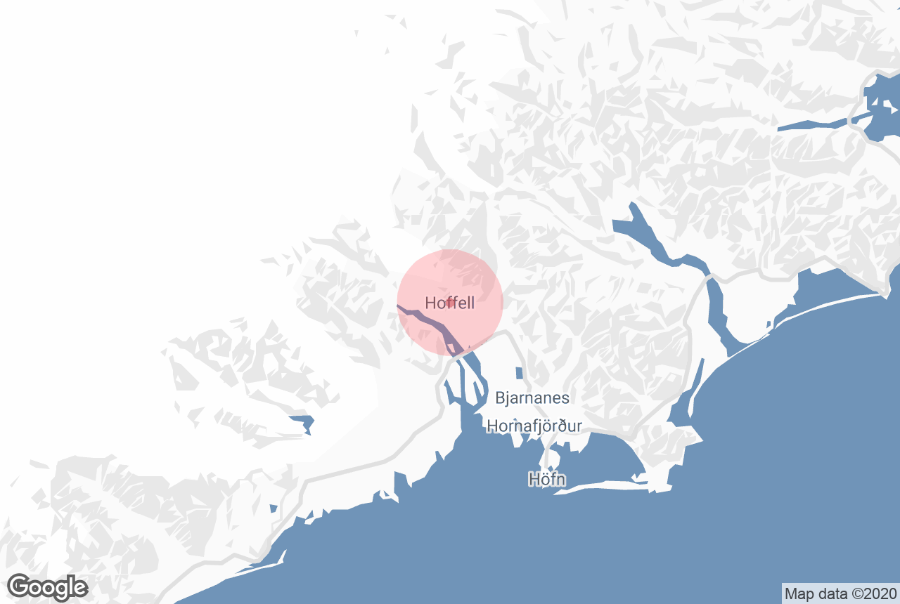
Information about Hoffell
Hoffell is a farmland area in southeast Iceland.
Photo Credit: Wikimedia, Creative Commons, by Gummao
Hoffell is located by the outlet glacier of Hoffelsjökull, a tongue of the largest ice cap in Europe, Vatnajökull. The area is unusual for Iceland due to the mountains and rocks being composed of gabbro, an igneous rock that cools slowly, rather than the fast-cooling basalt found around the rest of the country. Other examples of gabbro in Iceland include the nearby mountain of Vestrahorn, often nicknamed ‘the Batman Mountain’ for its sharp twin peaks.
Hoffell is a particularly fertile area with a wealth of flora and fauna. Some very rare plants, such as the Silver Saxifrage, can be found here, drawing many who are interested in botany. It is also home to abundant Arctic Foxes, the only native land animals of Iceland, and wild reindeer are occasionally seen here (although usually only in the winter months, when they move to lower land to feed).
Due to the incredible natural beauty, wildlife and diversity of the landscapes, Hoffell is popular amongst hikers, with trails leading to a variety of sites such as the glacier tongue. Due to its remoteness and the fact that few tourists know about it, it is also a favourite location for photographers.
There are several hot tubs in the area, which overlook the ocean. Like the vast majority of hot tubs and swimming pools in Iceland, these are heated naturally by the geothermal forces at work beneath the earth.
Hoffell is just 15 kilometres from the town of Höfn, the largest settlement in south-east Iceland. Höfn is located by taking Route 99 south from the Ring Road that encircles the country, and is about 460 kilometres east of Reykjavík. Both the town and Hoffell are often visited by guests headed to the south-east to witness the Jökulsárlón Glacier Lagoon.
Services near Hoffell
Attractions nearby Hoffell
Svínafellsjökull
Svínafellsjökull in an outlet glacier of Vatnajökull, the largest ice cap in Europe. It is one of the country’s most popular ...
Fláajökull
Wikimedia. Creative Commons. Credit: Jerzy Strzelecki. Fláajökull ("Sloping Glacier") is a small glacier tongue foun...
Hornafjörður
Hornafjörður (“Fjord of Horns”) is a fjord, municipality and growing community found in southeast Iceland. The fjord takes its ...
Heinabergslón
Credit: PhotoVicky. Heinabergslón is a little-known glacial lagoon in the south of Iceland. It can be found within Vatnajökull Nat...
Höfn
Höfn is an Icelandic fishing town of just over two thousand people in southeast Iceland. It is the most significant settlement on Route 1 betwe...
Almannaskarðsgöng
Almannaskarðsgöng is a 1312m (roughly 1.3km) tunnel along Route 1, located near Höfn (Hornafjörður) in the eastern region of Ic...
Vestrahorn
Vestrahorn is a mountain in south-east Iceland, noted for its two distinctive peaks and proximity to the Jökulsárlón glacier lago...
Stokksnes
Vestrahorn, on the Stokksnes peninsula in Southeast Iceland, is one of the country’s most breathtaking mountains. With peaks reaching up to 45...
Brunnhorn
Brunnhorn is a little-known, jagged mountain in south-east Iceland. It often nicknamed the Batman Mountain due to its distinctive shape, giving it t...
Eyjabakkajökull
Credit: Wikimedia, Creative Commons. Photo by NASA. Eyjabakkajökull is a northeastern glacial tongue of the great Vatnajökull glacier,...
Eystrahorn
Eystrahorn is a little-known but spectacular mountain in east Iceland. It is part of the Krossasnesfjall mountain range. Geography of Eystrahorn A...
Þórbergssetur
Thorbergssetur, located in the remote region of Sudursveit in South-East Iceland, is a culture center and heritage museum dedicated to the history of ...
Eyjabakkar
Eyjabakkar is an oasis in the East Highlands of Iceland. This is Iceland's second-largest wetland, the largest being Thjorsarver, itself a ...
Snæfell
Snæfell is the name of the largest freestanding mountain in Iceland, located in the east of the country. Other Mountains named Snæfell ...
Bruarjokull
Wikimedia. Creative Commons. NASA. Brúarjökull is a 1600 sq km (617 sq mi) glacier tongue extending from Iceland's largest ice-...
Jökulsárlón
Jökulsárlón is Iceland’s most famous glacier lagoon. Conveniently located in the southeast by Route 1, about halfway betwee...
Diamond Beach
The Diamond Beach is a strip of black sand belonging to the greater Breiðamerkursandur glacial plain, located by Jökulsárl...
Breiðamerkurjökull
Breiðamerkurjökull is the glacial tongue that extends from southern Vatnajökull and into the glacier lagoon Jökulsárl&oacu...
Brúardalir
Credit: Wikimedia, Creative Commons. Photo by Axel Kristinson. Brúardalir is a series of valleys in Brúaröræfi in East&...
Gleðivík
Gleðivík, or Merry Bay, is the name of the coastline just outside the town of Djúpivogur in east Iceland. Gleðivík is ...