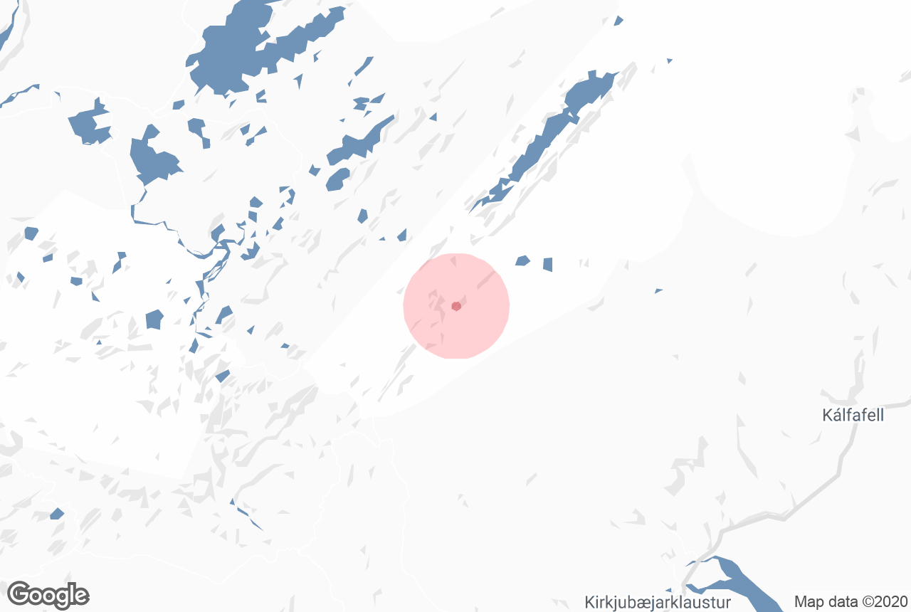
Information about Uxatindar
Uxatindar is a mountain peak in the southern highlands which stands 642 metres above sea level. It is green with moss throughout summer and is surrounded by rivers, black sand deserts, grassland and other mountains.
Located in a very remote area, Uxatindar is usually only visited on multiday highland hikes. It is surrounded by dramatic features such as the plunging canyon Hvanngil, the lava fields of Skælingar and the river Skaftá. It is part of Vatnajökull National Park, and from it, visitors can attain great views of Europe's largest glacier.
Uxatindar is on Route F235, meaning it can only be reached in summer in a 4-wheel-drive.
Services near Uxatindar
Attractions nearby Uxatindar
Sveinstindur
Photo from Four-day Highland Hiking Tour | Volcanic Trail Part 1 Sveinstindur is a 1093 m (3408 ft) high mountain in Iceland's Centr...
Eldgjá
Eldgja is the largest volcanic canyon in the world, 270m deep, 600m at its widest and around 40 km long. The canyon lies paralel with t...
Faxi
Credit: Wikimedia, Creative Commons. Photo by Kkaefer. Faxi is a wide, serene waterfall in South Iceland, approximately twelve kilometres away from G...
Lakagígar
Lakagígar, in the south of the Icelandic highlands, is a row of craters, formed during one of the largest eruptions in recorded history, k...
Breiðbakur
Breidbakur, in the Icelandic highlands, is a mountain west of Langisjor lake and near Vatnajokull glacier. The scenery in this area is magnificent. ...
Veiðivötn
Veiðivötn is an area of over 50 small fishing lakes, situated north-east of Friðland að Fjallabaki and Landmannalaugar. The ov...
Fagrifoss
Credit: Wikimedia, Creative Commons. Photo by Nave111. Fagrifoss (the Beautiful Waterfall) is located in southeast Iceland near the Lakagígar ...
Ofaerufoss
Ofaerufoss is a highly beautiful waterfall in the volcanic chasm Eldgja in Southeast Iceland. The Eldgja chasm, belongs to the same volcanic system as...
Langisjór
Langisjor is among the clearest highland lakes in the country. Its altitude is 670 meters and at its deepest it’s 75 meters. The l...
Ljótipollur
Ljotipollur is a explosion crater lake in the south highlands, situated in the southernmost crater in the Veidivotn fissure system. Strangely...
Frostastaðavatn
Credit: Wikimedia, Creative Commons. Photo by Gestumblindi. Frostastaðavatn is a highland lake renowned for its vivid blue and green colouration ...
Landmannalaugar
Landmannalaugar ("The people's pools") is a vast area of stunning and unique beauty, the true heart of Iceland's southern Highland...
Strútslaug
Strutslaug (also known as Holmsarbotnalaug) is a geothermal pool in the South Highlands, north of Myrdalsjokull glacier and close to Torfajokull glaci...
Bláhnjúkur
Blahnjukur (a.k.a. Blahnukur) is a volcano in the area of Landmannalaugar, in the south highlands of Iceland. Blahnjukur's name (...
Fjallabak
Fjallabak may refer to two highland routes, South Fjallabaksleid or the North Fjallbaksleid. South Fjallabaksleid The South Fjallabaksleid (...
Dómadalur
Domadalur is a valley east of Kringla (Landmannahellir cave) in the south of the Icelandic highlands. The valley has a little shallow lake a...
Fjaðrárgljúfur
Credit: Wikimedia, Creative Commons. Photo by ptj56. Fjaðrárgljúfur is a beautiful, dramatic canyon in South Iceland, close to the ...
Brennisteinsalda
Brennisteinsalda (ca. 855 m) is a volcano in the area of Landmannalaugar National Park, in the south highlands of Iceland. Brennisteinsalda ...
Jökulheimar
At Jokulheimar, close to Tungnarjokull glacier in Vatnajokull National Park are two cabins run by the Icelandic Glacier Research Association. ...
Kirkjubæjarklaustur
Kirkjubæjarklaustur (referred to locally as ‘Klaustur’) is a village of approximately 120 inhabitants in the Skaftárhreppur m...