Type
Fjords
Destination
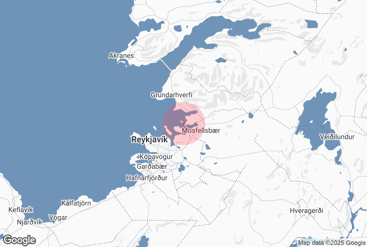
Reykjavík, Iceland
Average rating
9.2
Distance from center
4.2 km
Family-friendly
No

Þerney island is found in Kollafjörður and is named after the Arctic tern. During the summer months, the island is used as a haven for farm animals. The island is also home to the ruins of a 13th Century church.
Þerneyjarsund makes up just part of a local nature reserve, alongside the islands of Lundey, Akurey and Engey.
Why You Can Trust Our Content
Guide to Iceland is the most trusted travel platform in Iceland, helping millions of visitors each year. All our content is written and reviewed by local experts who are deeply familiar with Iceland. You can count on us for accurate, up-to-date, and trustworthy travel advice.


