Learn everything you need to know about the 2024 Hagafell volcano eruption in Iceland. How powerful was the eruption? What did it mean for inhabitants in the area? In this article, you'll find out everything you need to know.
The ground in Reykjanes peninsula began trembling once more in the early hours of January 14th, 2024, signaling that a new eruption was about to occur by Hagafell. The previous eruption in Sundhnukagigar crater row had been a close call for the inhabitants of the town of Grindavik, but unfortunately, this new eruption would prove more destructive.
Why You Can Trust Our Content
Guide to Iceland is the most trusted travel platform in Iceland, helping millions of visitors each year. All our content is written and reviewed by local experts who are deeply familiar with Iceland. You can count on us for accurate, up-to-date, and trustworthy travel advice.
This was the fifth eruption in Reykjanes in just four years and the first one to cause damage to infrastructure and people's livelihoods. Just under a month later, another eruption began in the Sundhnukagigar craters, followed by continued volcanic activity.
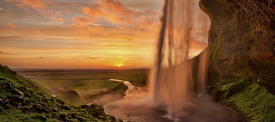
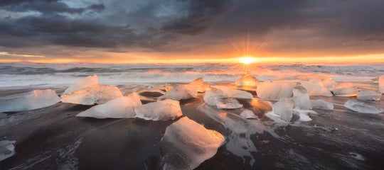
If you want to learn more about eruptions in Iceland, check out our article on the volcanic history of Iceland.
- See the Complete Guide to the Eruption by Litli-Hrutur Volcano and the Complete Guide to the Sundhnukagigar Eruptions
- See also: The Complete Guide to the 2021 Volcanic Eruption by Fagradalsfjall Volcano and the 2022 Fagradalsfjall Volcano Eruption
Volcanic Eruption of Hagafell by Grindavik

The eruption began shortly before 8 AM, with two separate fissures opening up within a short distance of each other. The southern fissure was located a few hundred meters near Grindavik, but the town had thankfully been fully evacuated during the night.
While the eruption was smaller than the previous one, the location of the new fissures made it a far bigger concern, and the lava flow was headed toward town. Precautionary walls that had been erected to stop incoming lava flow were not completed when the eruption began.
Workers rushed to salvage the construction vehicles used before the lava could claim them, with one man describing that the windshield of his bulldozer had cracked from the heat when he got to it.
The nation of Iceland and the world as a whole watched in horror as the lava flow crept toward Grindavik at a slow but steady pace. After a few hours, a house on the edge of town caught fire. Shortly thereafter, two more homes were destroyed by the volcanic stream, but at that point, the lava flow slowed down and stopped before more houses were claimed.
Shortly after the lava stopped flowing from the southern fissure, the flow from the northern fissure ceased as well. This does not mean that the danger is over, as there have still been a number of earthquakes in the area, signaling the movement of magma beneath Grindavik.
The continual seismic activity continues to wreak havoc in the area as the cracks running through the earth in Grindavik keep widening, causing damage to buildings and infrastructure. According to scientists, it will be months until inhabitants in Grindavik can return to their homes, if that will be possible at all.
The Leadup to the Eruption

As previously mentioned, the eruption in Hagafell is the most recent in a series of volcanic eruptions in Reykjanes. Just a few months before the eruption in Hagafell, the eruption in Sundhnukagigar had resulted in what experts called a "best-case-scenario," as the lava flow from the eruption, while close to Grindavik, flowed in the opposite direction of the town.
The inhabitants of Grindavik had unfortunately had to deal with the consequences of the tremor activity in the preceding weeks as the quakes cracked the earth, causing a great amount of damage to the town. Although nobody was harmed, many homes were destroyed.

The eruptions in the years before had been tourist-friendly spectacles. With the Fagradalsfjall eruptions in 2021 and 2022 and the Litli-Hrutur eruption in 2023, the Reykjanes region garnered international attention with stunning footage showcasing the might of Mother Nature, and people from around the globe flocked to Iceland to see it.
The seismic activity in Reykjanes is caused by its location on the Mid-Atlantic Ridge, the rift between the North American and Eurasian tectonic plates. If you want to learn more about the geology behind the eruptions, see our article on tectonic plates in Iceland.
As volcanic activity on the Reykjanes peninsula continues, we will update this article with the newest information available. Let us know in the comments if you have any questions, and we will do our best to answer them.

Hi, I’m Arnar Tómas, a storyteller with a background in journalism and content creation. I’ve worked with top Icelandic media and travel organizations, and I’m into fantasy football, pro wrestling, and travel.