
Langisjor is not a typical day-trip destination, but it can be enjoyed by travelers who plan ahead. Getting to this stunning lake in the Icelandic Highlands involves river crossings and rough highland roads, so preparation is important.
The best way to reach Langisjor in Iceland is by a 4WD car with highland capabilities. 4x4 off-road tours in Iceland and Highlands excursions offer a safe and convenient alternative for travelers who are unfamiliar with the rough F-roads of Iceland.
At Langisjor, visitors can go hiking, fishing, or just enjoy the remote scenery.
Why You Can Trust Our Content
Guide to Iceland is the most trusted travel platform in Iceland, helping millions of visitors each year. All our content is written and reviewed by local experts who are deeply familiar with Iceland. You can count on us for accurate, up-to-date, and trustworthy travel advice.
Plan your visit to Langisjor Lake with tips on how to get there, when to go, what to do, and how to stay safe in the Highlands. Keep reading to learn more.
Key Takeaways
-
Langisjor is a remote lake in Iceland’s Highlands within Vatnajokull National Park.
-
Langisjor is accessible only in summer via F-roads and requires a high-clearance 4x4 vehicle.
-
Langisjor is best visited from late June to August when roads are open and daylight is longest.
-
Visitors can enjoy hiking, fishing, kayaking, camping, and photography in the area.
-
Hiking options range from a short summit climb to a two- to three-day loop around the lake.
-
Visitors should bring all supplies, check conditions, and prepare for limited or no cell service.
-
Visitors are advised to register travel plans and carry emergency communication equipment.
-
Nearby highlights include Ofaerufoss waterfall, Eldgja Canyon, Lakagigar Craters, and Landmannalaugar Valley.
Why Visit Langisjor Lake in Iceland?
 Iceland has no shortage of dramatic landscapes, but Langisjor stands out for its remote setting and quiet surroundings. Here are some of the main reasons to visit:
-
Outdoor activities: Visitors can hike, fish, kayak, or camp in the Highlands. The area also provides access to nearby volcanic landscapes and Vatnajokull National Park.
-
Great location for exploring: Langisjor is located near major volcanic areas in the Highlands. It serves as a convenient base for exploring Vatnajokull National Park and surrounding regions.
-
Fewer crowds: Langisjor is one of the least-visited large lakes in Iceland. This makes it a good choice for travelers looking for a quieter experience.
-
Unique lake colors: The water often appears blue or turquoise, depending on light and conditions. On calm days, the surface reflects the surrounding landscape clearly.
Langisjor offers a mix of scenery, activities, and solitude that is hard to find elsewhere in Iceland. It is a rewarding stop for those looking to explore beyond the main tourist routes.
Where Is Langisjor Lake Located?
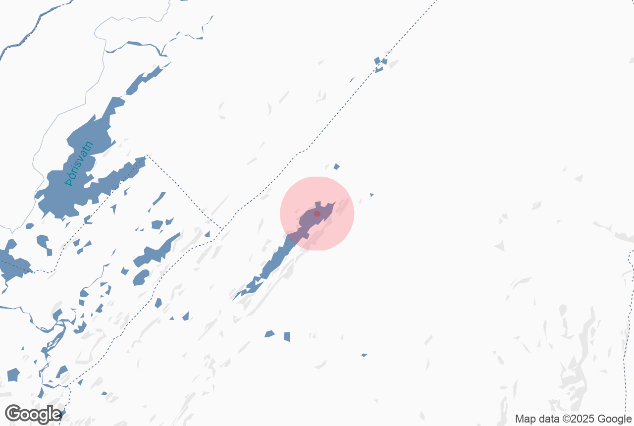
 Langisjor is located in the southern part of Iceland’s interior Highlands, within Vatnajokull National Park. It sits at an elevation of 2,200 feet (670 meters) above sea level, about 93 to 118 miles (150 to 190 kilometers) from Reykjavik. Due to rough terrain, the drive typically takes around 4.5 to 5 hours in good conditions.
The lake measures about 12.4 miles (20 kilometers) long, 1.2 miles (2 kilometers) wide, and reaches depths of up to 246 feet (75 meters). To the west and north are rugged volcanic mountains that frame the lake and offer popular hiking routes. To the south and east, the landscape opens toward Vatnajokull Glacier and surrounding lava fields.
The lake lies near the Fjallabak Nature Reserve, a protected highland area known for its unique landscapes. Access is limited to summer, when Highland roads are open and conditions are safe for travel.
How to Get to Langisjor Lake
 The most common way to reach Langisjor is by driving on F208 and F235, two Highland roads that connect to the lake. From the Ring Road (Route 1) near Vik or Kirkjubaejarklaustur, take F208 north into the Highlands, then continue to the F235 turnoff, which leads directly to Langisjor.
Both routes are part of Iceland’s F-road network, which consists of unpaved Highland roads. A high-clearance 4x4 vehicle is required, along with awareness of river crossings and changing conditions. Travelers who prefer a simpler option can also join self-drive tours in Iceland or guided hiking and trekking tours to the Highlands, which help manage routes and logistics.
For easier access to the Highlands from Reykjavik and other towns, some travelers use Highland bus passes to reach key areas before continuing their journey.
Before your trip, it’s best to check road.is for current road conditions and river levels as they can change quickly, especially after rain or warm weather. The open status is only a general guide and does not show real-time river depth. It is also important to review Iceland’s weather forecasts through vedur.is.
If needed, check with rangers at Vatnajokull National Park or contact the Icelandic Road and Coastal Administration.
Best Time to Visit Langisjor Lake
 The best time to visit Langisjor is from late June through August, when road access is open and conditions are generally more stable. Langisjor is a seasonal destination in Iceland’s Highlands, as the F-roads leading to the area are closed during winter and spring and usually open from mid to late June, depending on conditions.
July and August are the most popular months due to easier access and long daylight hours. The midnight sun in Iceland brings extended evenings, which are useful for hiking, photography, and camping. However, weather conditions can still be cool and unpredictable. Expect temperatures around 41 F to 54 F (5 C to 12 C), along with wind, fog, and occasional rain or sleet.
Early June visitors may find F-roads still closed or difficult to access. By late September, roads may begin to close again due to changing weather and early snowfall.
Outdoor Activities at Langisjor Lake
 Despite its remote location, Langisjor offers a range of outdoor activities for visitors. It is important to come prepared, as there are no rental facilities, gear shops, or regular tour services at the lake.
Hiking in Langisjor
 One of the most popular hikes is the Sveinstindur summit route reaching about 3,570 feet (1,089 meters). The climb is steep but relatively short, usually taking one to two hours to reach the top. From the summit, hikers can see wide views of the lake, nearby glaciers, and surrounding volcanic landscapes.
For longer trips, a full loop around the lake is about 34 miles (55 kilometers) and usually takes two to four days. Some sections, especially along the north shore, may be lightly marked or unmarked.
It is recommended to carry a GPS device and offline maps during your hike. The terrain includes loose volcanic ground, which can be unstable in some areas.
The lake also serves as a starting point for longer treks into nearby volcanic areas and Highland trail networks. Travelers who prefer extra support can consider joining hiking and trekking tours in Iceland, especially for navigating remote Highland routes. Many hikers also combine hiking with camping, as there are some facilities in the area.
Fishing in Langisjor

Photo from Wikimedia, Creative Commons, by Gumol. No edits made.
Langisjor is a sought-after destination for fishing in Iceland, and is known for Arctic char and brown trout. The cold, clear water supports healthy fish populations, and the lake’s size allows for quieter fishing spots.
A valid fishing license for Langisjor is required to fish at the lake. Permits can usually be purchased online or from authorized sellers before entering the Highlands. Rangers may check permits during the summer season.
Kayaking and Boating in Langisjor
Langisjor is suitable for kayaking when conditions are calm. The lake’s size allows for longer paddling routes on still water. There are no rental services available, so all equipment must be brought with you.
Landscape Photography in Langisjor
Langisjor is a popular location for photography due to its contrasting landscapes. The lake, volcanic terrain, and surrounding mountains create strong visual compositions. On calm days, reflections on the water can be very clear. Early morning and late evening during the midnight sun period offer softer light conditions.
Attractions Near Langisjor Lake
 Langisjor is located in one of Iceland’s most geologically active regions. Several major landmarks can be reached within a half-day to full-day trip from the lake or nearby Highland areas.
-
Ofaerufoss Waterfall: This waterfall is known for its scenic two-tiered cascade within a rugged volcanic canyon. It is located in Eldgja, one of the largest volcanic fissure systems in the world. The canyon stretches about 47 miles (75 kilometers) long and up to 1,970 feet (600 meters) wide.
-
Lakagigar Craters: This area features a chain of about 130 volcanic craters formed during the 1783 eruption. The eruption had major environmental impacts in Iceland and beyond. Today, the site is protected within Vatnajokull National Park.
-
Landmannalaugar: This area is known for its colorful mountains and geothermal hot springs. It is a popular starting point for hiking routes and is more accessible than Langisjor, making it a convenient addition to your trip.
These nearby sites make Langisjor a good base for exploring different parts of Iceland’s Highlands, especially for travelers planning multi-day trips in Iceland, especially in the Highlands region.
What to Know Before Visiting Langisjor Lake
 Before visiting Langisjor in Iceland, it is important to understand the driving conditions, limited facilities, and basic safety requirements in the Highlands. Planning ahead will help you have a smoother and safer trip.
Vehicle Requirements
A high-clearance 4x4 vehicle is required for accessing Langisjor. Standard SUVs without sufficient ground clearance are not suitable for F-roads. River crossings on F235 are usually moderate in normal conditions but can become unsafe after rain.
Some smaller side tracks require modified Super Jeeps and should not be attempted in a standard 4x4. Always check road.is before traveling.
Facilities and Fees
Facilities at Langisjor are very limited. There is a basic campsite near the lake, along with a small ranger station and simple toilets during summer. Food, fuel, electricity, and hot water are not available in the area. Campsite fees are usually around 15 to 18 USD (2,000 to 2,500 ISK) per person per night.
There is no entry fee for visiting the lake, and no hiking permits are required. A remote cabin is also available, but it does not have electricity or hot water. Booking in advance for summer is recommended.
Safety and Emergency Preparedness
Cell service is limited or unreliable at Langisjor. Before your trip, register your travel plan at SafeTravel.is as a recommended safety step for Highland travel.
Emergency response times can be long due to the remote location. It is recommended to carry a Personal Locator Beacon or a satellite communication device for emergencies. These devices provide a reliable way to contact help in case of breakdowns or medical situations.
Packing and Gear Tips
 Here are some practical tips for visiting Langisjor in Iceland:
-
Bring proper tent stakes: The ground is often loose volcanic material, which may not hold standard pegs well. Use strong stakes and secure your tent with rocks if needed.
-
Choose a sheltered campsite: Highland winds can be strong, so set up your tent carefully and look for natural wind protection.
-
Pack layered clothing: Temperatures can drop close to freezing even in summer, so bring waterproof and insulating layers.
-
Bring enough food and water supplies: Carry all necessary food from the nearest town. Water from the lake can be used with proper filtration or treatment.
-
Fill your fuel tank in advance: Fuel stations are far from the lake, so make sure you have enough before entering the Highlands.
How do I get to Langisjor Lake?
When do the F-roads to Langisjor open?
Is there a campsite at Langisjor?
Is there cell service at Langisjor?
What are the best hiking options to Langisjor Lake?
Do I need a permit to fish at Langisjor Lake?
How long is Langisjor Lake?
Explore More of Iceland’s Highlands
 If Langisjor has sparked your interest in Iceland’s Highlands, the surrounding region offers some of the country’s most remote and varied landscapes.
Eldgja is one of the largest volcanic fissure systems in the world and is a well-known stop in the area. Ofaerufoss Waterfall, which is within the canyon, is a popular feature. Lakagigar Craters to the south is a historically significant volcanic site formed during the 1783 eruption. Landmannalaugar to the north is known for its hiking trails and geothermal hot springs, offering a different landscape from the surrounding Highlands.
For those who want to extend their stay, Thakgil in the south offers a greener landscape with a campsite and hiking trails. It can be a practical stop before or after visiting Langisjor in Iceland.
The Highlands are best explored at a slower pace, allowing time to visit nearby attractions. Langisjor Lake works well as part of longer multi-day tours in Iceland.


