
Tungnafellsjökull from the Sprengisandur track. Photo: rheins, CC BY 3.0
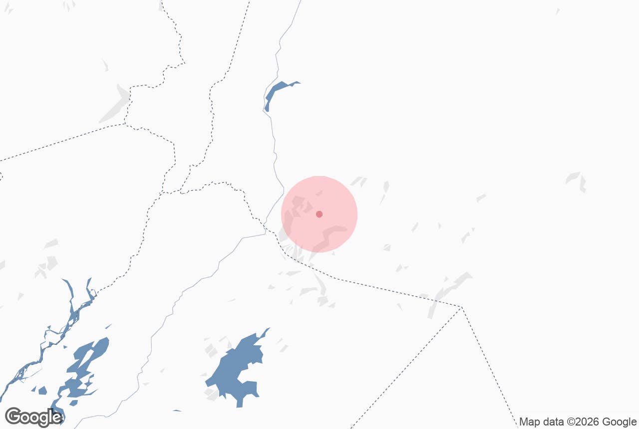
Tungnafellsjökull is a small ice cap on a volcano of the same name in the central highlands of Iceland, immediately north-west of Vatnajökull and east of Hofsjökull. The name means "glacier of Tungnafell", the mountain it sits on.
It rises to about 1,520 to 1,540 metres and is the landmark you see to the east for much of the northern half of the Sprengisandur route (F26). Between Tungnafellsjökull glacier and Vatnajökull lies Vonarskarð, "the pass of hope", a geothermal mountain pass with a place in Iceland's settlement history. The whole area is inside Vatnajökull National Park.
Key Takeaways About Tungnafellsjökull
- Small ice cap (summit c. 1,520–1,540 m) on an active central volcano between Hofsjökull and Vatnajökull, inside Vatnajökull National Park
- Fills a 4 x 9 km caldera; Holocene lavas on the north-east flank; earthquake swarms 2008–09 and 2014–15, no historical eruption
- Reached only by the Sprengisandur route F26: high-clearance 4x4, unbridged rivers, open roughly July–September
- Base at the Nýidalur FÍ huts and campsite (c. 820 m) at the glacier's southern foot; no fuel or shops between Hrauneyjar and the north coast
- Vonarskarð geothermal pass lies between the glacier and Vatnajökull; ask the Nýidalur ranger about access before hiking there

Why visit Tungnafellsjökull
Tungnafellsjökull is not a glacier you drive up to or walk on with a guide. Its appeal is the setting: a white dome standing alone in a black-sand desert, with the far larger Vatnajökull and Hofsjökull on either horizon.
- A volcano under the ice. The glacier fills a caldera roughly 4 by 9 km. A second, ice-free caldera about 8 km across lies to the south-east and forms the Vonarskarð geothermal area. The rock is mostly Pleistocene basalt with some rhyolite, and young lava flows north of the ice (the Dvergar fissure row and the 12 km Tunguhraun flow) show that the volcano has erupted since the ice age, within the last 4,500 years.
- Still restless. Earthquake swarms shook the volcano in 2008 to 2009 and again in 2014 to 2015, the latter linked to the collapse of the Bárðarbunga caldera during the Holuhraun eruption. The Smithsonian Global Volcanism Program lists its last eruption date as unknown.
- Vonarskarð. The pass between Tungnafellsjökull and Vatnajökull is the watershed between north and south Iceland and holds a high-temperature geothermal field at 950 to 1,100 metres, with hot springs and rare heat-loving organisms. The Book of Settlements tells how the settler Bárður of Bárðardalur drove his livestock south through a pass called Vonarskarð to Fljótshverfi and was afterwards known as Gnúpa-Bárður; this pass has been identified with his route since the late 18th century, and the route is still called Bárðargata.
- Nýidalur. The green valley at the glacier's southern foot, at about 820 metres, is one of the very few vegetated spots on Sprengisandur and is the main overnight stop on the route.
How to get to Tungnafellsjökull
The glacier is reached only via the Sprengisandur highland route (F26), which runs north to south between Hofsjökull and Vatnajökull.

Tungnafellsjökull from Nýidalur. Photo: Christian Wirth, CC BY-SA 2.5
- From the south: F26 starts near Hrauneyjar Highland Centre, the last place with fuel, food and lodging on the southern approach. Nýidalur is roughly 100 km north of Hrauneyjar on F26.
- From the north: F26 comes in from Bárðardalur (near Goðafoss) and descends to Nýidalur from the north. From Skagafjörður (F752) and Eyjafjörður (F821) tracks meet at Laugafell, from where F881 (Dragaleið) joins F26.
F26 is a rough gravel track with several unbridged river crossings. A high-clearance 4x4 is mandatory, and the route usually opens only around late June or early July and closes with the first autumn snow, typically September. Check road.is for the current status before leaving tarmac.
Park at the Nýidalur huts and campsite. From there the glacier is a few kilometres to the north. There is no road onto the ice.
Best time to visit
- July and August are the only reliable months. Rivers are still high in early summer from snowmelt, and the track can be closed into July after a snowy winter.
- Early September can be excellent, with clearer air and fewer vehicles, but snow can close the route with little warning.
- Winter: inaccessible except to expedition-style super jeep groups.
Safety and practical tips
- Rivers: all crossings on F26 are unbridged and glacial rivers swell fast in warm or wet weather. Cross early in the day if you can and never alone. Rental insurance generally excludes water damage.
- Hiking: the classic day hike from Nýidalur follows the Mjóháls ridge east into Vonarskarð, a 28 km return trip of 7 to 10 hours (park route N6). It involves stream crossings and geothermal ground; speak to the Vatnajökull National Park rangers based at Nýidalur first about conditions and current rules, since the geothermal area is protected and there is no phone or Tetra coverage in Vonarskarð. A shorter option is to climb the hill nearest the huts for the view.
- On the ice: do not walk onto Tungnafellsjökull without glacier equipment and experience. It is crevassed and unguided.
- Facilities: the Iceland Touring Association (Ferðafélag Íslands) runs two huts and a campsite at Nýidalur with flush toilets and showers; a warden is present in summer. There is no shop, restaurant or fuel anywhere on the route between Hrauneyjar and the north coast. Fill up and carry extra fuel, food and water.
- Weather: at 800 metres and above, snow and freezing wind are possible in every month. Mobile coverage is patchy.
- No entrance fee; national park rules apply, including a ban on off-track driving.
Can I walk on Tungnafellsjökull?
How big is Tungnafellsjökull?
Is it an active volcano?
Do I need a 4x4?
Nearby attractions
- Nýidalur – the green valley and hut site at the glacier's foot, about 7 km.
- Nýidalur FÍ Mountain Hut – the touring-club huts and campsite, about 7 km.
- Vonarskarð – the geothermal pass between Tungnafellsjökull and Vatnajökull, about 12 km.
- Fjórðungsvatn – highland lake beside F26, about 17 km.
- Sprengisandsleið – the F26 route itself, about 18 km.
- Bárðarbunga – Iceland's second-highest mountain, under Vatnajökull, about 22 km.
Tours that visit Tungnafellsjökull
- Extreme 13 Day Photography Workshop in the Highlands of Iceland – day 8 of this multi-day package crosses Sprengisandur from south to north, with Hofsjökull, Tungnafellsjökull and Vatnajökull in view along the way.
