Best Cheap Bus Tours in Iceland
Select starting location
Select dates
Add travelers
Cheap Bus Tours in Iceland
Refine the results by using the filters


Explore an unequalled wealth of tours and packages
Verified customer reviews
Read first-hand reviews by customers from across the world


Cheap Bus Tours in Iceland
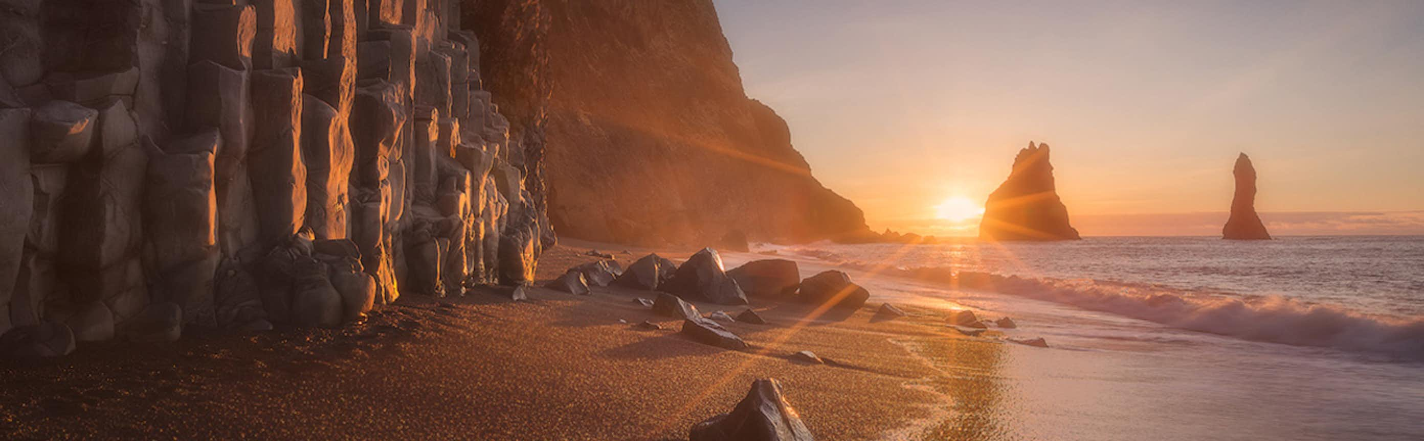
Affordable bus tours in Iceland provide an efficient way to explore the country's beautiful places without spending too much money. These tours are designed to be budget-friendly, so you can see Iceland's stunning landscapes and cool stuff without emptying your pockets.
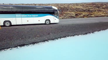
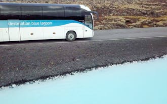
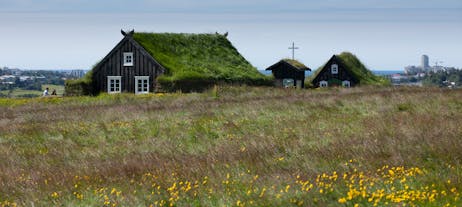
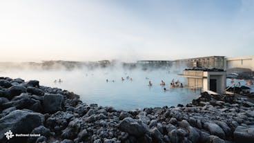
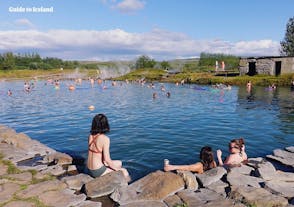
These budget bus tours cover a bunch of different places, so you can choose one that matches what you're interested in. Whether you want to see waterfalls on the South Coast, iconic landmarks in Reykjavik, or geothermal pools in the Blue Lagoon, there's a cheap bus tour for you.
One of the advantages of cheap bus tours is the convenience they offer. You can sit back, relax, and enjoy the scenery as experienced guides share their knowledge about Iceland's geography, history, and folklore. This informative commentary adds depth to your journey, making it both educational and enjoyable.
Traveling on a budget doesn't mean compromising on safety or comfort. The buses are in good shape and the drivers know the roads well. Some even have restrooms and free Wi-Fi to make your trip more comfortable.
With diverse itineraries, informative guides, safety measures, and onboard comforts, these cheap bus tours make it possible to experience the best of Iceland without breaking the bank.
Frequently asked questions
What is the best bus tour in Iceland?
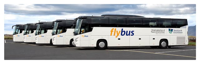
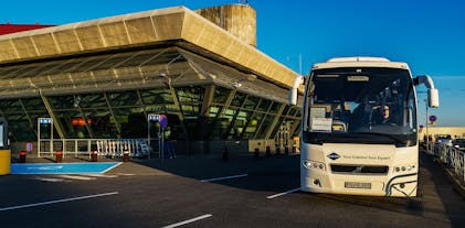
Another top-rated bus tour in Iceland takes you from your Reykjavik hotel to the Keflavik International Airport. This bus transfer is ideal for travelers departing from Iceland. The service is rated 4.7 out of 5 by more than 400 reviewers.
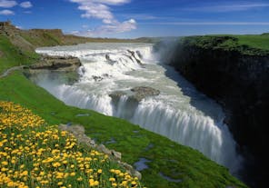
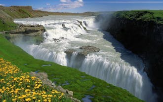
If you want to see diverse natural attractions, the best affordable bus tour in Iceland is this South Coast day tour with Jokulsarlon glacier lagoon from Reykjavik. It has an average rating of 4.5 out of 5 from over 200 travelers.
What is the cheapest bus tour in Iceland?
If you want to visit one of the most photographed locations in Iceland, don’t hesitate to book this cheap DC-3 plane wreck in South Iceland. You can board the bus excursion for roughly 23 USD.
Meanwhile, if you want to maximize your day seeing many landscapes, one of the cheapest bus tours you can book is this 12-hour bus tour in the Snaefellsnes Peninsula from Reykjavik. You can book it for around 169 USD per person.
Are cheap bus tours in Iceland worth it?
What is an Icelandic bus passport?
How long does the bus transfer from Keflavik Airport take?
Will the bus from the airport take me directly to my hotel in Reykjavik?
For example, this Flybus transfer from Keflavik Airport to Reykjavik will take you to the terminal before giving you a minibus ride to your hotel.
How regular are the buses from Keflavik to Reykjavik?
Will I have a personal experience on a guided bus tour?
Are there cheap bus tours around the Ring Road in Iceland?
Will I be free to leave the tour group on my bus tour in Iceland?
Do cheap bus tours go to all the major sites in Iceland?
Can I partake in any activities on cheap bus tours in Iceland?
Which language will my guide speak on my cheap bus tour in Iceland?
Are there restrooms available during cheap bus tours in Iceland?
Will there be Wi-Fi on cheap bus tours in Iceland?
How long does the bus stop at each attraction when on a bus tour in Iceland?
Does my bus tour include admission to the Blue Lagoon?
Are cheap bus tours suitable for families and children?


Download Iceland’s biggest travel marketplace to your phone to manage your entire trip in one place
Scan this QR code with your phone camera and press the link that appears to add Iceland’s biggest travel marketplace into your pocket. Enter your phone number or email address to receive an SMS or email with the download link.


