アイスランドで人気のスナイフェルスネス半島ツアー
出発地を選択
日付を選択
人数
スナイフェルスネス半島ツアー
フィルターを設定すると絞り込み検索ができます
アイスランドの旅行パッケージや現地ツアーをたくさん取り揃えました


旅行者のレビュー
世界中の利用者のレビューをどうぞ


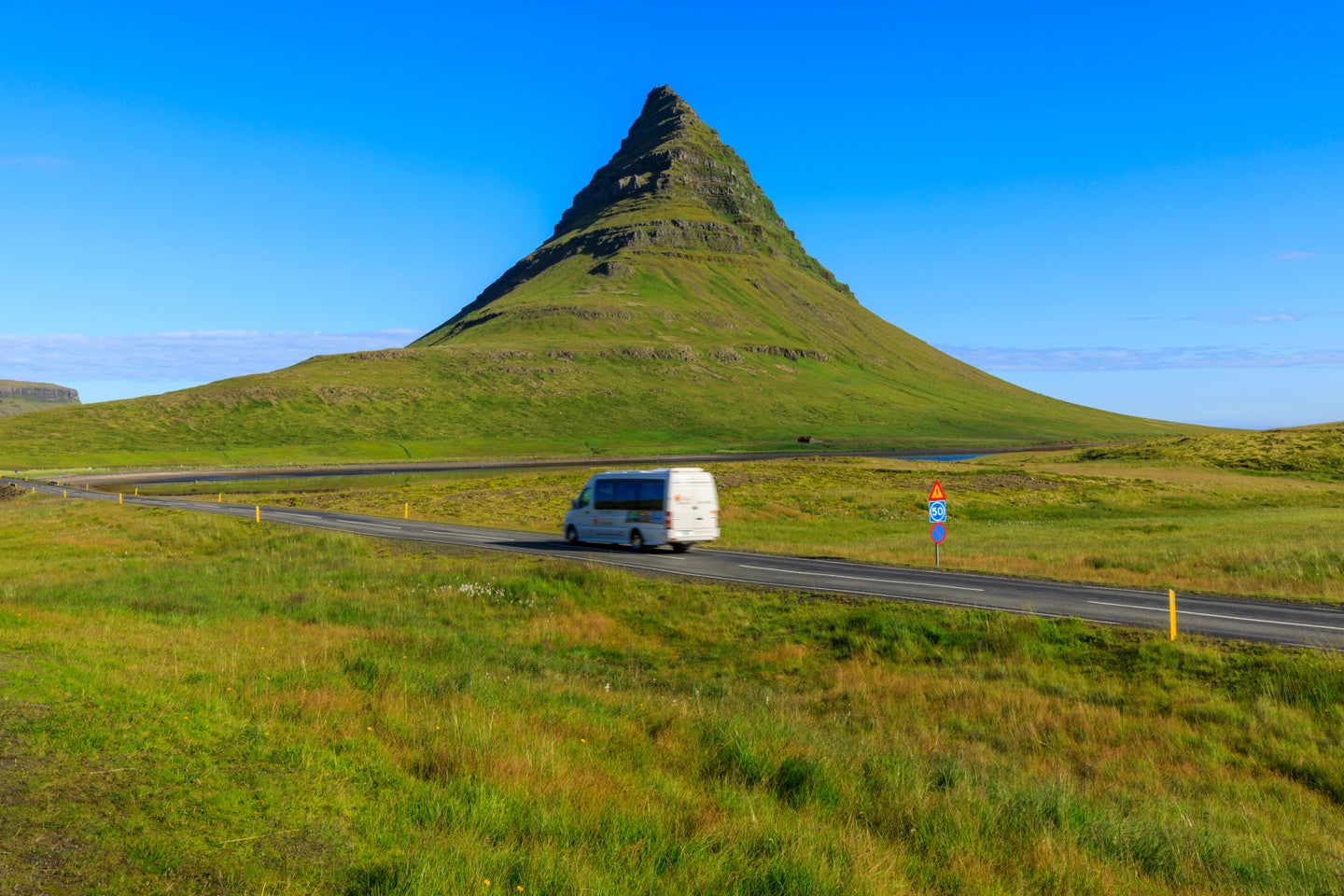
魅惑のスナイフェルスネス半島を旅する
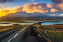
スナイフェルスネス半島(Snaefellsnes)はアイスランド西部の地方です。小さな半島にアイスランドの地質学的な特徴が集中していることから「ミニ・アイスランド」と呼ばれています。
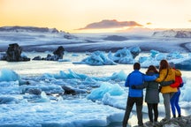
スナイフェルスネス半島ツアーでは絶景から不思議な地形まで、その多彩な景観を見ることができます。
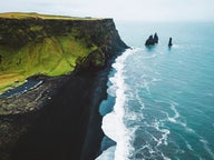
スナイフェルスネスの一つ目の特徴はドラマチックな海岸線です。
切り立った断崖絶壁や黒い砂浜があり、かわいらしい漁村が点在しています。
特にアルナルスタピ村(Arnarstapi)は海辺のハイキングコースの起点となっており、岩のアーチや絶景スポットを見に行けます。近くにはガートクレットゥル(Gatklettur)という玄武岩の柱状節理の見事な崖があり、こちらは風景写真家にも人気です。
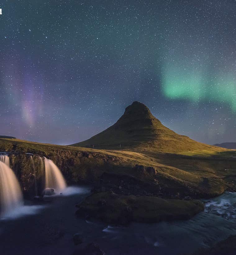
スナイフェルスネスには氷河もあります。半島の中心に聳えるスナイフェルスヨークトル(Snaefellsjokull)です。氷河の下には成層火山が眠っており、雲に覆われていることも多いのでミステリアスな雰囲気です。ジュール・ヴェルヌのSF小説『地底旅行』のモチーフになった山です。
氷河の麓まで行くツアーもあり、氷河や周囲の溶岩台地を一望することができます。不思議な民話や言い伝えもあるので、ガイドに是非聞いてみてください。
スナイフェルスネスでは野鳥や野生動物も見られます。崖にはパフィンや海鳥の巣があり、岩場ではよくアザラシが日向ぼっこをしています。
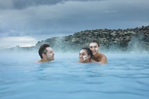
自然を見るだけでなく、大自然の中でアクティビティを楽しめるスナイフェルスネス半島ツアーもあります。ハイキングや乗馬、氷河探検などが人気です。
半島の地形は変化に富んでいるので、初心者から上級者まで、レベルに合ったハイキングツアーが見つかるでしょう。
グルメなら断然海鮮がおすすめです。スティッキスホゥルムル(Stykkisholmur)などの漁港では獲れたての魚介やアイスランドの伝統料理を頂けます。
スナイフェルスネスの地元グルメは "kleina” というねじりドーナツのようなパン菓子です。
スナイフェルスネス半島ツアーなら大自然はもちろん、アドベンチャーやアイスランド文化も楽しむことができます。
密度の濃いアイスランド体験を求める方には、スナイフェルスネス半島ツアーがおすすめです!
よくある質問


アイスランド最大の旅行アプリをスマートフォンにダウンロード。旅のすべてを1か所で管理できます。
アイスランド最大の旅行マーケットプレイスをポケットに。スマートフォンのカメラでQRコードを読み取り、表示されるリンクをクリックしてください。電話番号またはメールアドレスを入力すれば、SMSやEメールでもダウンロードリンクを受け取ることができます。